MyTopo
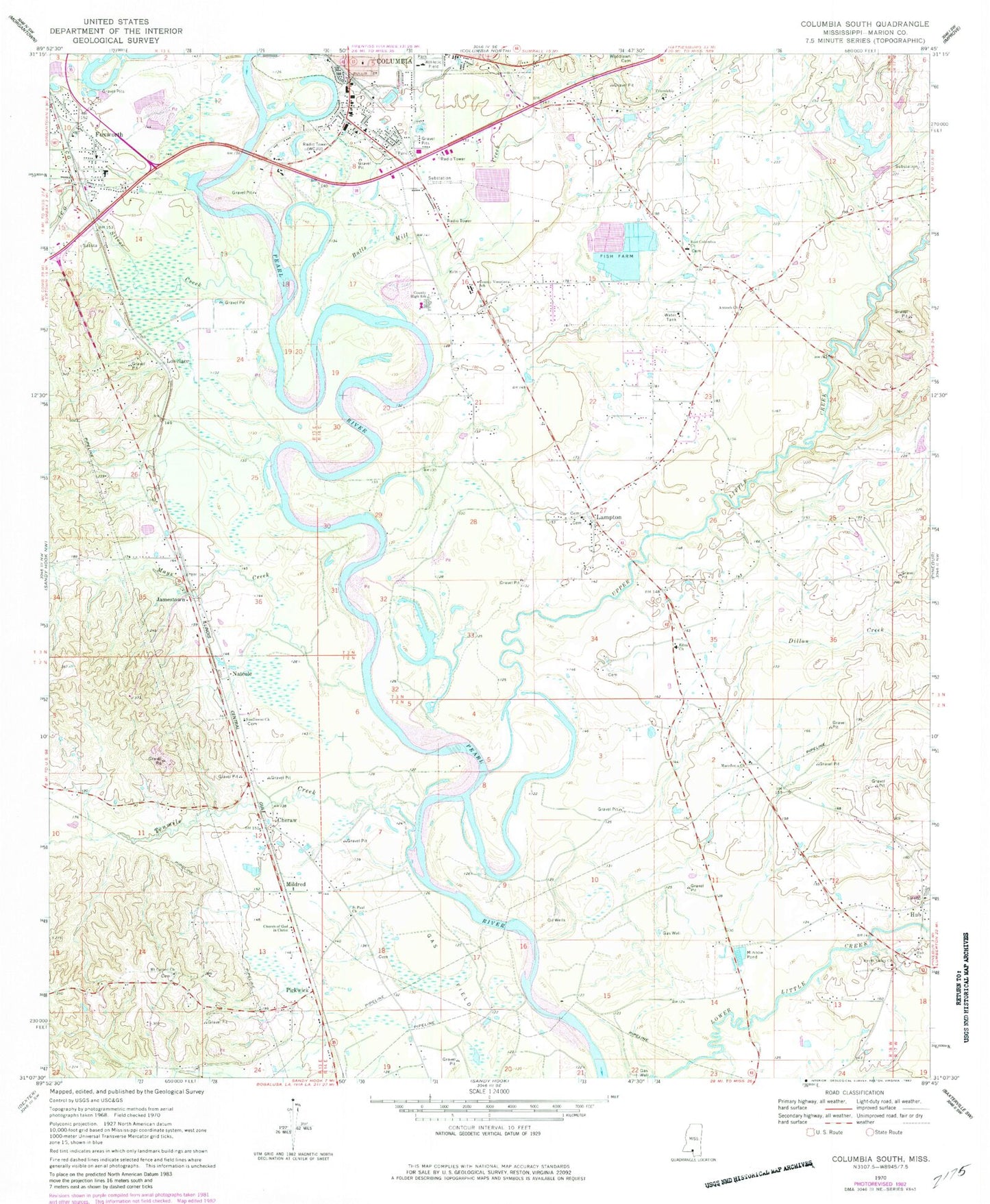
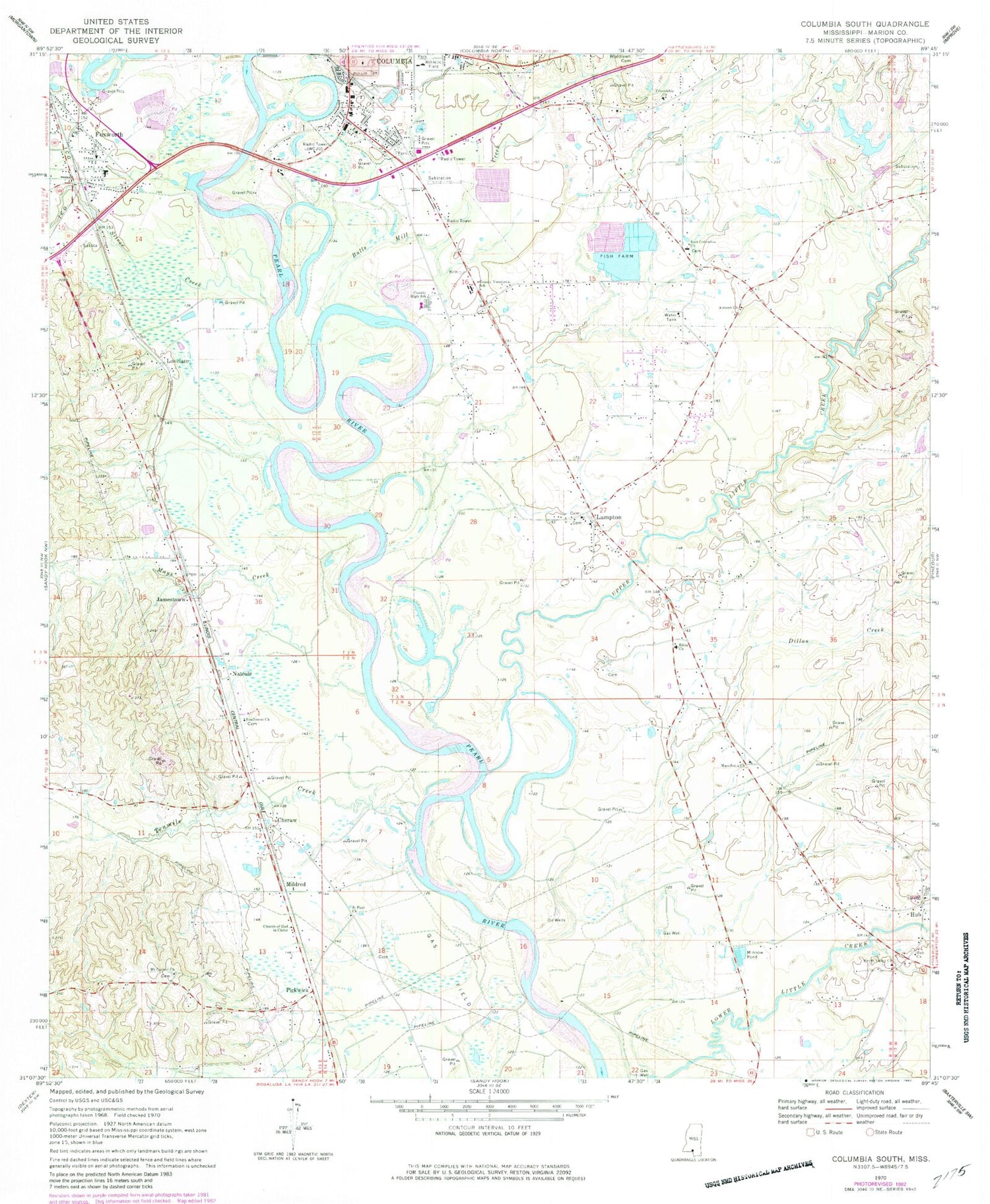
Classic USGS Columbia South Mississippi 7.5'x7.5' Topo Map
Couldn't load pickup availability
Historical USGS topographic quad map of Columbia South in the state of Mississippi. Map scale may vary for some years, but is generally around 1:24,000. Print size is approximately 24" x 27"
This quadrangle is in the following counties: Marion.
The map contains contour lines, roads, rivers, towns, and lakes. Printed on high-quality waterproof paper with UV fade-resistant inks, and shipped rolled.
Contains the following named places: Antioch Cemetery, Antioch Church, Balls Mill Creek, Bayliss Water Mill, Cheraw, Christian Hill Baptist Church, Church of Christ, Church of God in Christ, Columbia Fire Department Station 2, Columbia Sewage Lagoon Dam, Dillon Creek, Duckworth Park, East Columbia Cemetery, East Columbia Church, Edna, Edna Church, Edna School, Foxworth, Foxworth Fire Department, Foxworth First Baptist Church, Foxworth Post Office, Friendship Cemetery, Friendship Church, Friendship School, Gardner Stadium, Hub, Hub Attendance Center, Hub Church, Hub Oil Field, Jamestown, Keno, Lampton, Lovelace, Macedonia Church, Marion / Walthall County Correctional Facility, Marion County, Marion County High School, Marion County Vocational School, Mays Creek, Mildred, Mount Carmel Church, Natcole, New Bridge, New Zion Cemetery, New Zion Methodist, Old Bridge, Pickwick, Porter Airport, Saint Paul Church, Saint Paul School, Sanctified Church, Silver Creek, Singley Ponds Dam, Star B Rest Personal Care Home, Sunflower Cemetery, Sunflower Church, Sweet Valley Church, Tenmile Creek, True Vine Baptist Church, Upper Little Creek, Water Valley School, WCJU-AM (Columbia), West Columbia Church of God, West Marion Primary School, Woodlawn Cemetery, Zion Hill Church, ZIP Code: 39429


