
MyTopo
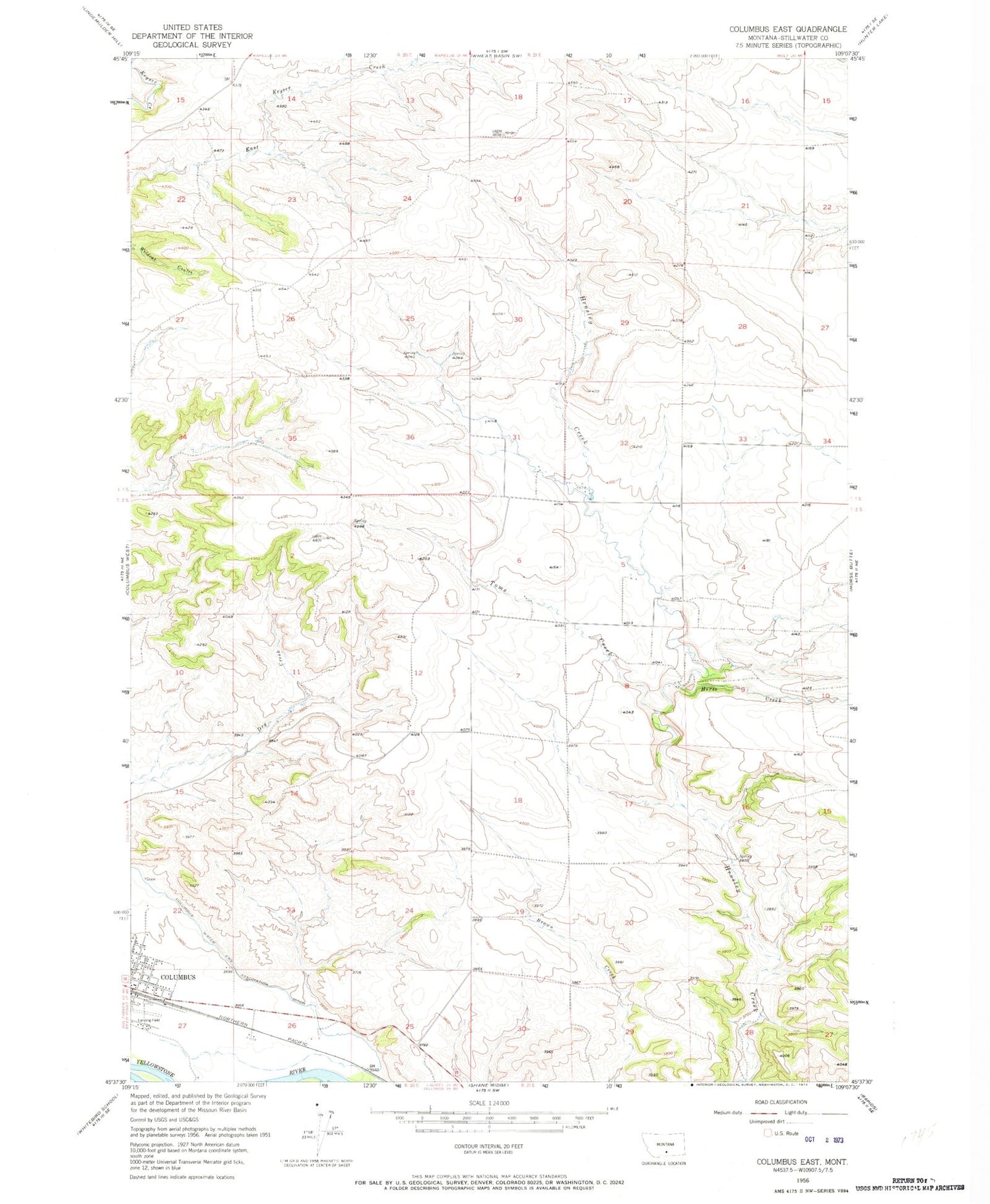
Classic USGS Columbus East Montana 7.5'x7.5' Topo Map
Couldn't load pickup availability
Historical USGS topographic quad map of Columbus East in the state of Montana. Map scale may vary for some years, but is generally around 1:24,000. Print size is approximately 24" x 27"
This quadrangle is in the following counties: Stillwater.
The map contains contour lines, roads, rivers, towns, and lakes. Printed on high-quality waterproof paper with UV fade-resistant inks, and shipped rolled.
Contains the following named places: Carr Trailer Court, Columbus Rural Fire Department, Columbus Volunteer Fire Department, Horse Creek, Itch-Kep-Pe Park, Itch-Kep-Pe Park Campground, New Life Victory Center, Stillwater Billings Clinic, Stillwater Golf Course, Toms Creek, Town of Columbus, Woltermann Memorial Airport, ZIP Code: 59019


