MyTopo
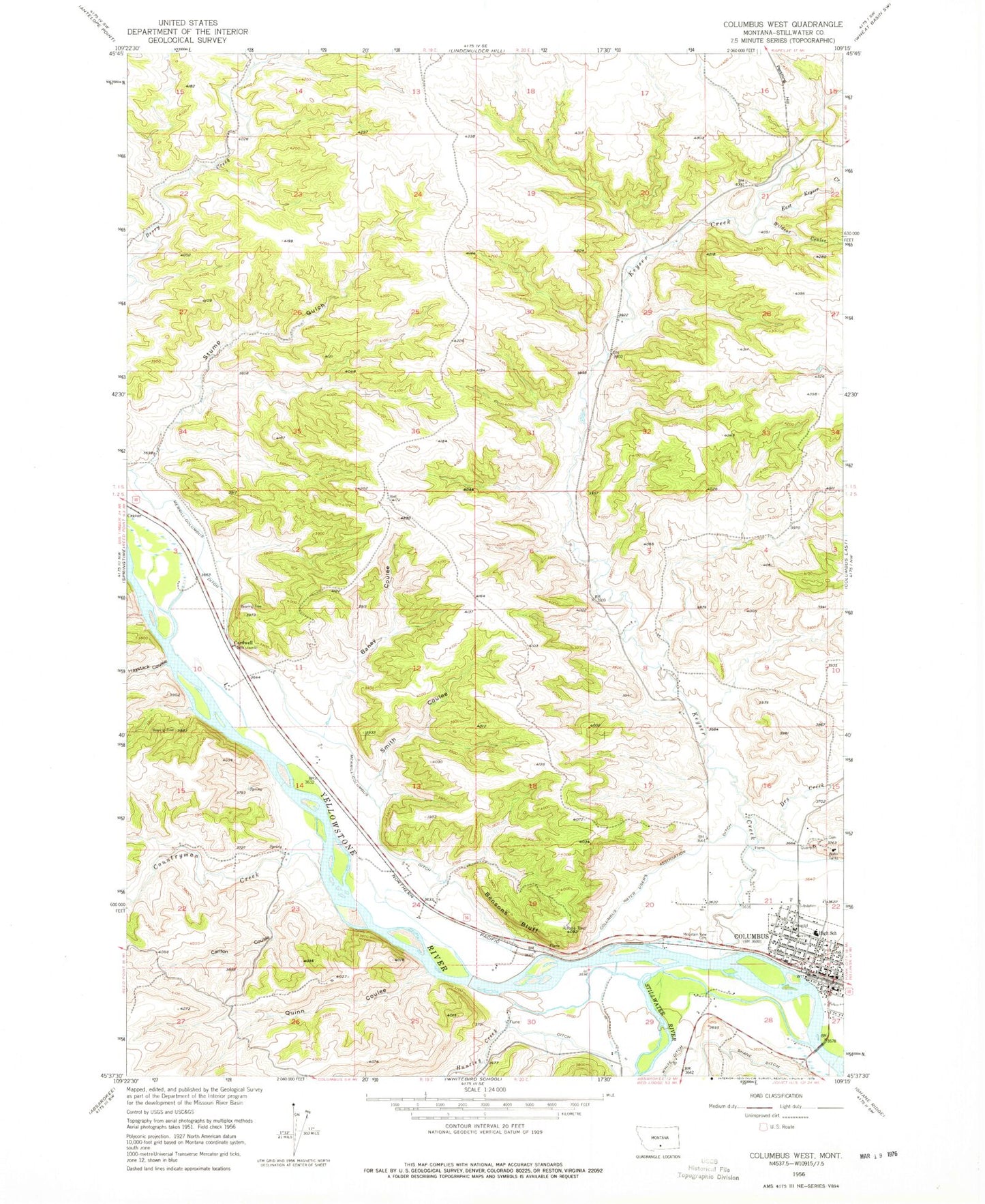
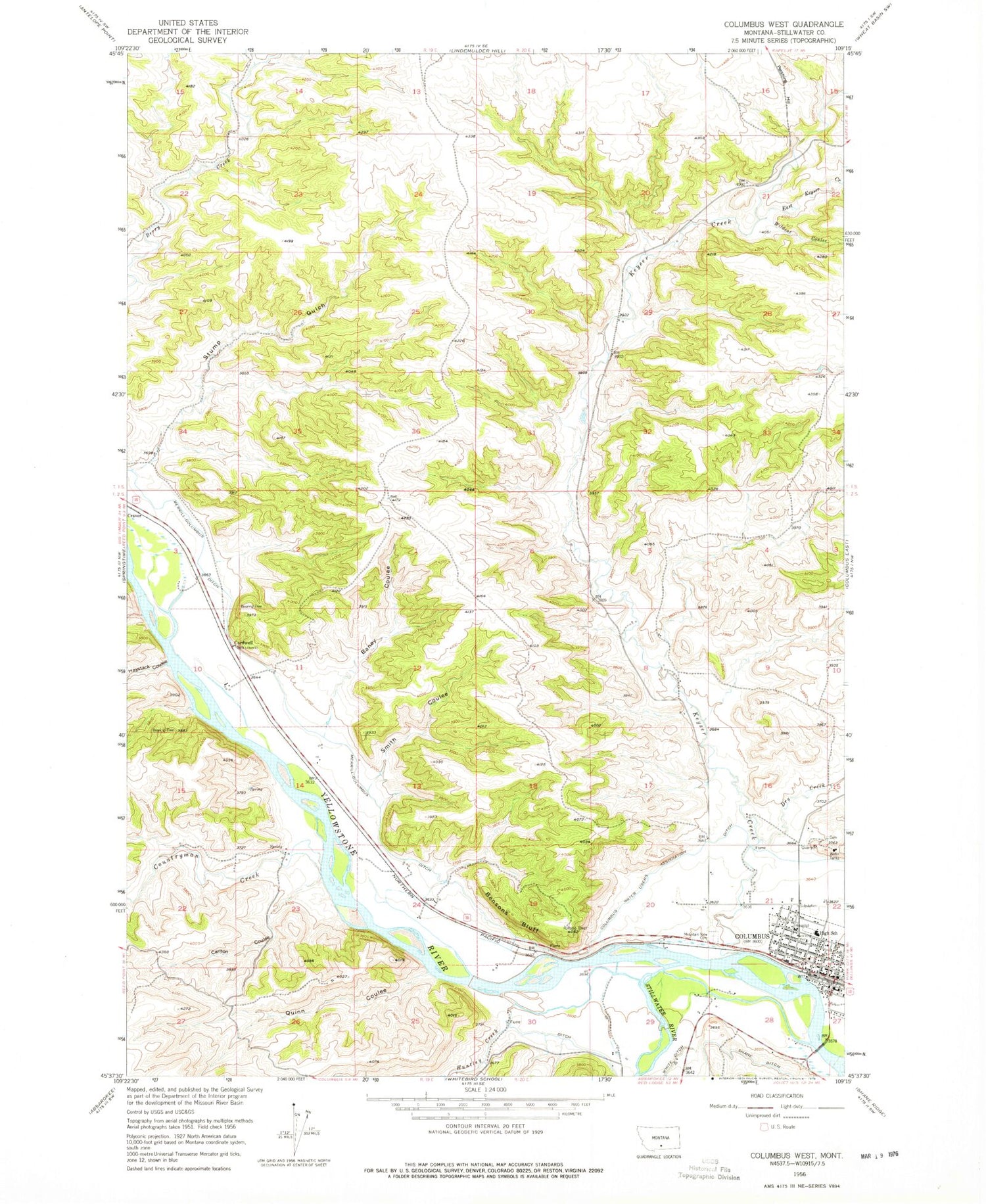
Classic USGS Columbus West Montana 7.5'x7.5' Topo Map
Couldn't load pickup availability
Historical USGS topographic quad map of Columbus West in the state of Montana. Map scale may vary for some years, but is generally around 1:24,000. Print size is approximately 24" x 27"
This quadrangle is in the following counties: Stillwater.
The map contains contour lines, roads, rivers, towns, and lakes. Printed on high-quality waterproof paper with UV fade-resistant inks, and shipped rolled.
Contains the following named places: 01S20E32BCBB01 Well, 02S19E23DBDA01 Well, 02S20E16CCCA01 Well, 02S20E28CAAC01 Well, 02S20E28CABB01 Well, 02S20E28CACD01 Well, 02S20E28DBCD01 Well, 02S20E28DCBA01 Well, 02S20E28DDBC01 Well, 02S20E29AADC01 Well, Assembly of God Church, Baney Coulee, Bensons Bluff, Cardwell School, Carlton Coulee, Columbus, Columbus Baptist Church, Columbus Clinic, Columbus Elementary School, Columbus Evangelical Church, Columbus High School, Columbus Historical Marker, Columbus Police Department, Columbus Post Office, Columbus Rest Area, Columbus Water Users Association Ditch, Community Congregational United Church of Christ, Countryman Creek, Dry Creek, East Keyser Creek, Granite Peak Park, H and H Trailer Court, Handy Dam, Harvest State Cooperatives Elevator, Haystack Coulee, Huntley Creek, Jehovah's Witnesses, Keyser Creek, Kovanda Number 1 Dam, Merrill Columbus Ditch, Mountain View Cemetery, Museum of the Beartooths, Park Avenue Park, Park City Historical Marker, Pershing Hill, Quinn Coulee, S&L Edwards Airport, Saint James Lutheran Church, Saint Marys Catholic Church, Smith Coulee, Stillwater Bible Church, Stillwater Community Hospital Extended Care Unit, Stillwater Convalescent Center, Stillwater County Courthouse, Stillwater County Fairgrounds, Stillwater County Library, Stillwater County Sheriff's Office, Stillwater River, Stump Gulch, Valley Vista Trailer Park, Wataga, White Ditch, Wildcat Coulee


