MyTopo
Classic USGS Columbus Texas 7.5'x7.5' Topo Map
Couldn't load pickup availability
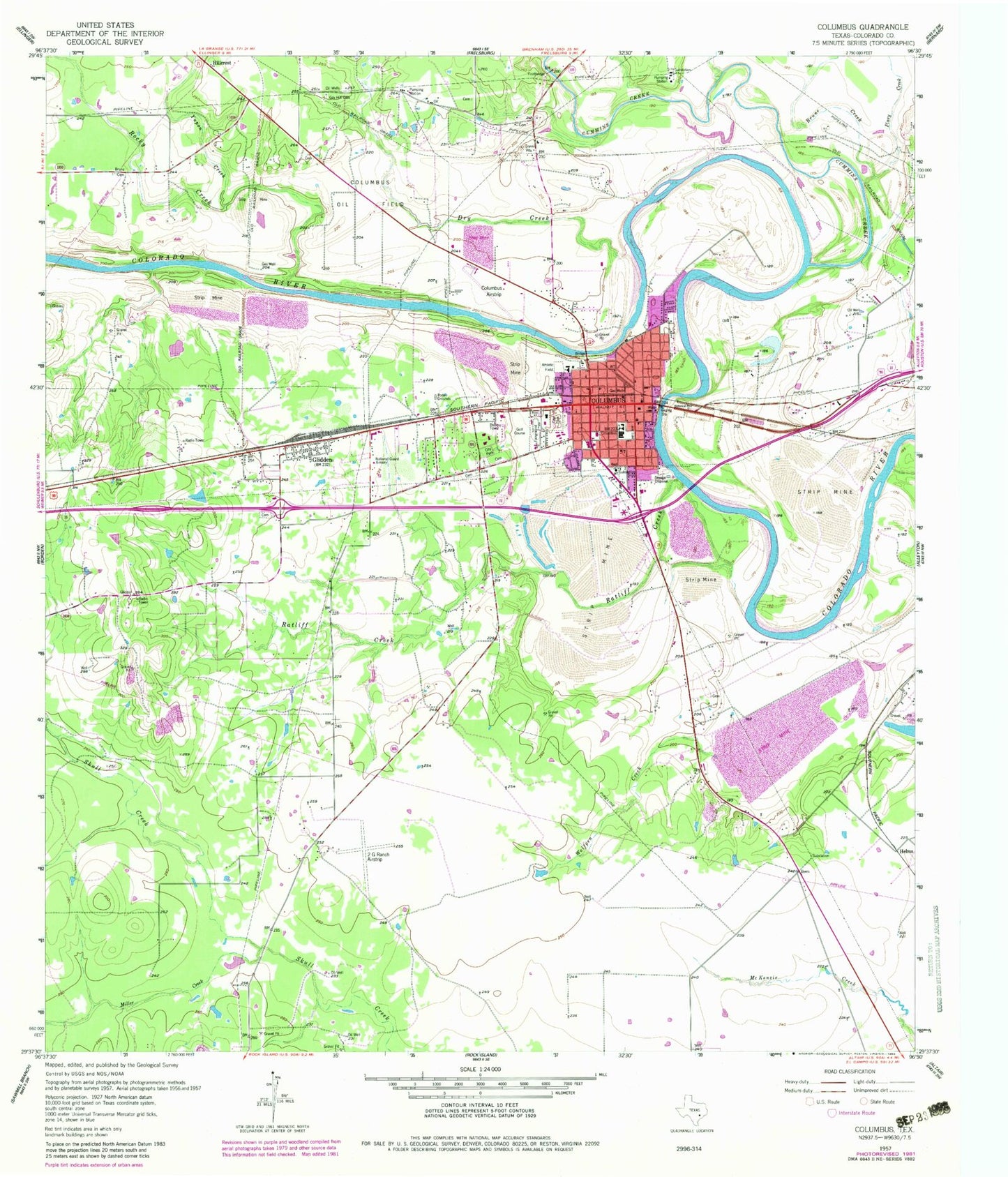
Historical USGS topographic quad map of Columbus in the state of Texas. Map scale may vary for some years, but is generally around 1:24,000. Print size is approximately 24" x 27"
This quadrangle is in the following counties: Colorado.
The map contains contour lines, roads, rivers, towns, and lakes. Printed on high-quality waterproof paper with UV fade-resistant inks, and shipped rolled.
Contains the following named places: 2 G Ranch Airport, 78934, 78943, Alley Log Cabin and Antique Tool Museum, Brune Cemetery, Brune Creek, City of Columbus, City Park, Colorado County Constable's Office Precinct 1, Colorado County Courthouse Historic District, Colorado County Emergency Medical Services, Colorado County Jail, Colorado County Justice of the Peace, Colorado County Sheriff's Office, Columbus, Columbus City Hall, Columbus Community Hospital, Columbus Elementary School, Columbus Hospital Heliport, Columbus Oil Field, Columbus Police Department, Columbus Post Office, Columbus Volunteer Fire Department, Cummins Creek, Dilue Rose Harris House, Dry Creek, Gay Hill Cemetery, Glidden, Glidden Census Designated Place, Guardian Emergency Medical Services, Helms, Hillcrest, John Stafford House, Keith-Traylor Museum, KULM-FM (Columbus), Mary Elizabeth Hopkins Santa Claus Museum, McKinney Memorial Public Library, Miller Creek, Miller Lake, Nesbitt Memorial Library, Odd Fellows Rest Cemetery, Piney Creek, Ratliff Creek, Rita and Truett Smith Public Library, River Field, Robert R Wells Jr Airport, Rocky Creek, Stafford Bank and Opera House, Stafford Opera House, State Highway 3 Bridge, Tate-Senftenberg-Brandon House Museum, Wolfpen Creek, Yupon Creek


