MyTopo
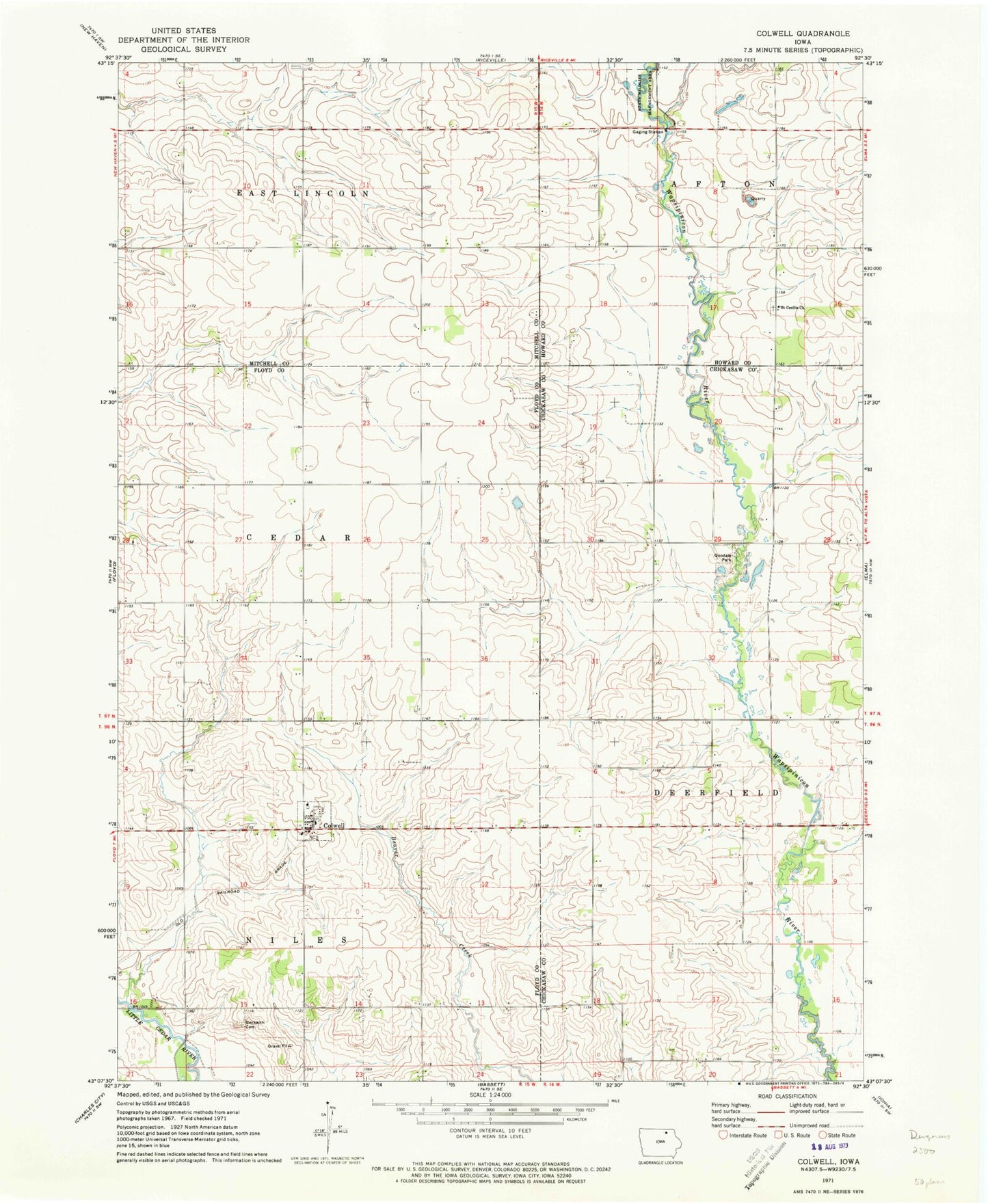
Classic USGS Colwell Iowa 7.5'x7.5' Topo Map
Couldn't load pickup availability
Historical USGS topographic quad map of Colwell in the state of Iowa. Map scale may vary for some years, but is generally around 1:24,000. Print size is approximately 24" x 27"
This quadrangle is in the following counties: Chickasaw, Floyd, Howard, Mitchell.
The map contains contour lines, roads, rivers, towns, and lakes. Printed on high-quality waterproof paper with UV fade-resistant inks, and shipped rolled.
Contains the following named places: Ackerson-Easterly Wildlife Area, Beckwith Cemetery, City of Colwell, Colwell, Colwell Community Volunteer Fire Department, Colwell Cooperative Elevator, Colwell Post Office, Colwell United Church of Christ, Deerfield Wildlife Area, Edna Pelz Wildlife Area, Elma Wildlife Area, Fix Wildlife Area, Goodale Park, Merricks Pond Access Wildlife Area, Nilesville, Saint Cecilia Church, Saint Patricks Cemetery, Township of Niles, ZIP Code: 50620