MyTopo
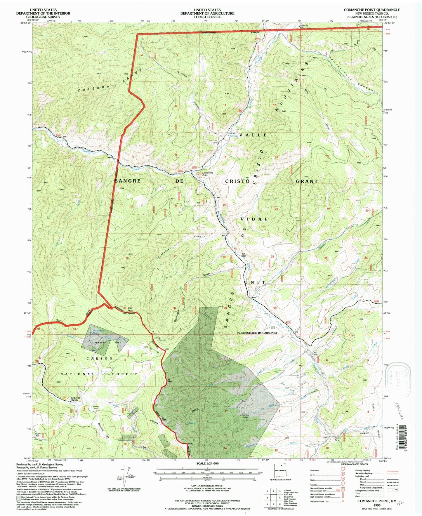
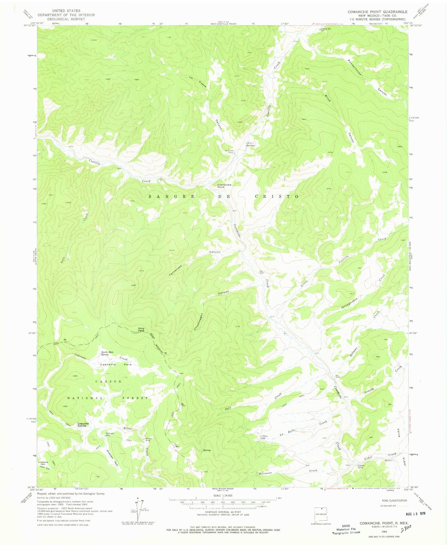
Classic USGS Comanche Point New Mexico 7.5'x7.5' Topo Map
Couldn't load pickup availability
Historical USGS topographic quad map of Comanche Point in the state of New Mexico. Typical map scale is 1:24,000, but may vary for certain years, if available. Print size: 24" x 27"
This quadrangle is in the following counties: Taos.
The map contains contour lines, roads, rivers, towns, and lakes. Printed on high-quality waterproof paper with UV fade-resistant inks, and shipped rolled.
Contains the following named places: Midnight (historical), Anchor (historical), La Belle (historical), Anchor Mine, Anderson Park, Blind Canyon, Cabresto Park, Chuckwagon Canyon, Clayton Camp, Comanche Creek, Comanche Point, Foreman Creek, Gate Creek, Gold Creek, Grassy Creek, Holman Creek, La Belle Creek, La Belle Lodge, La Cuerva Park, La Cueva Camp, La Cueva Canyon, Lagunita Saddle, Little Costilla Creek, Midnight Mine, North Hole Spring, Ortiz Peak, Powderhouse Canyon, Springwagon Creek, Valle Vidal, Vidal Creek, Mammoth Quartz, Cashier Mine, Keystone Tunnel, Big Five Prospect, Aztec Prospect, Criterion Claim, Granger Placer, Little Gem Prospect, Edison Mine, Rosita, Snyder Tunnel, Fernandez Canyon, Midnight Post Office (historical)


