MyTopo
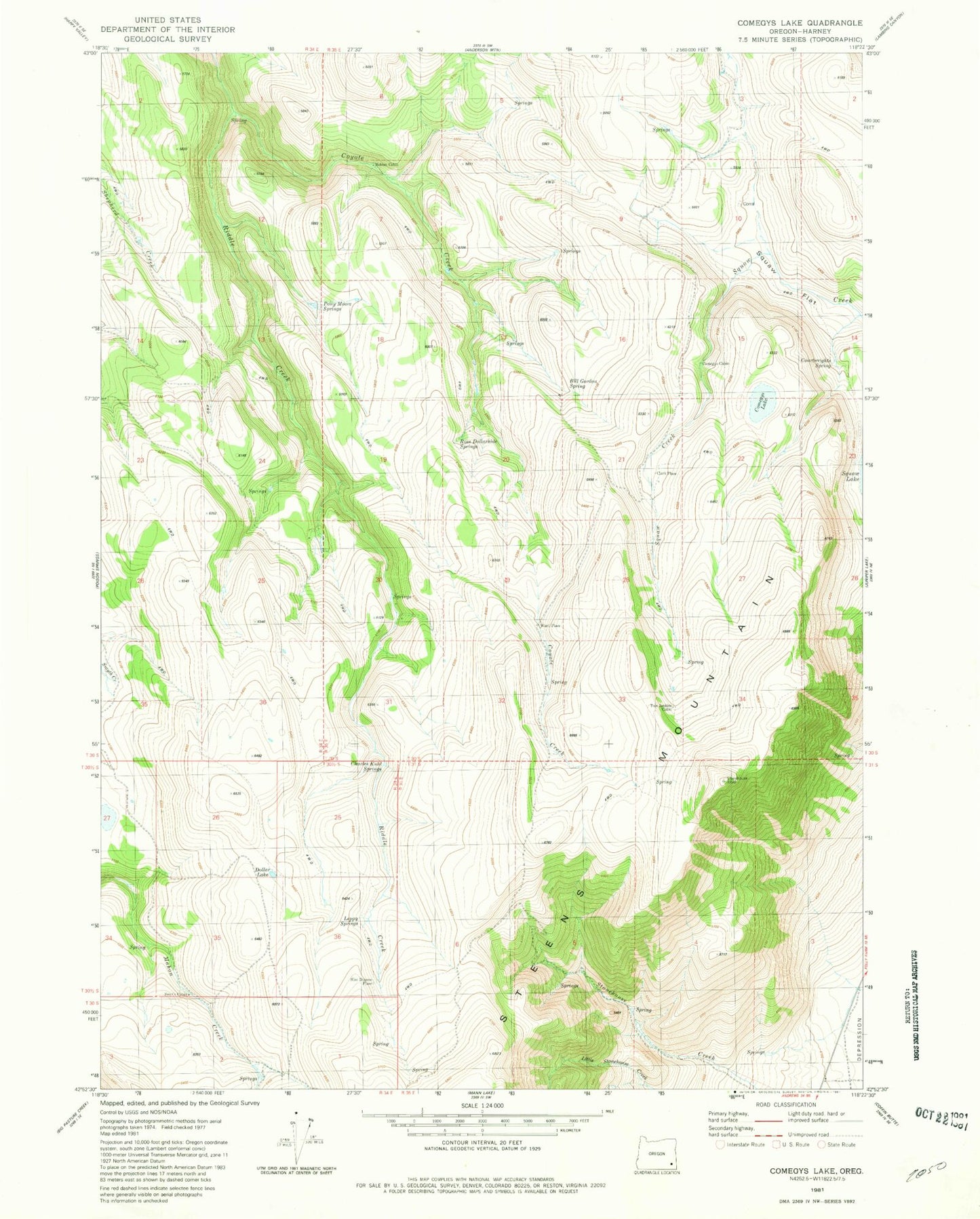
Classic USGS Comegys Lake Oregon 7.5'x7.5' Topo Map
Couldn't load pickup availability
Historical USGS topographic quad map of Comegys Lake in the state of Oregon. Map scale may vary for some years, but is generally around 1:24,000. Print size is approximately 24" x 27"
This quadrangle is in the following counties: Harney.
The map contains contour lines, roads, rivers, towns, and lakes. Printed on high-quality waterproof paper with UV fade-resistant inks, and shipped rolled.
Contains the following named places: Bald Mountain, Bill Gordon Spring, Charles Kuhl Springs, Clark Place, Comegys Cabin, Comegys Lake, Courtwrights Spring, Coyote Creek, Dollar Lake, Leppy Springs, Mclean Cabin, Puhi-Pane Na-De Flat, Ross Dollarhide Springs, Slim Dupree Place, Smyth Cabin, Tom Jenkins Cabin, Ward Place