MyTopo
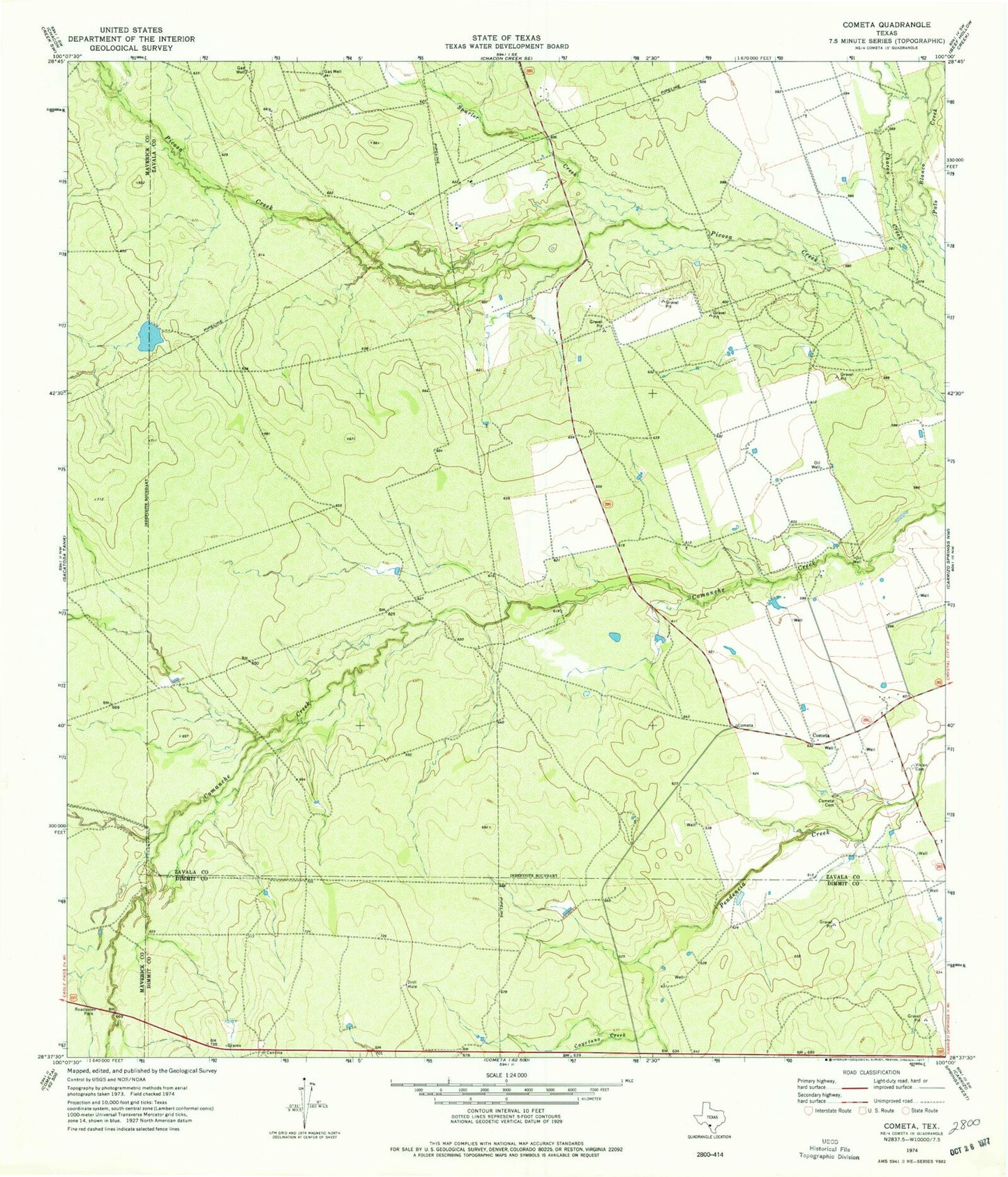
Classic USGS Cometa Texas 7.5'x7.5' Topo Map
Couldn't load pickup availability
Historical USGS topographic quad map of Cometa in the state of Texas. Map scale may vary for some years, but is generally around 1:24,000. Print size is approximately 24" x 27"
This quadrangle is in the following counties: Dimmit, Maverick, Zavala.
The map contains contour lines, roads, rivers, towns, and lakes. Printed on high-quality waterproof paper with UV fade-resistant inks, and shipped rolled.
Contains the following named places: Cayetano Creek, Chacon Creek, Chacon Creek Ranch Airport, Cometa, Cometa Cemetery, EO Jonsson Lake Number Two, Eslabon Ranch, Farias Ranch Lake Number 1, Farias Ranch Lake Number 1 Dam, Loma De Cometa Airport, Picosa Ranch Airport, Spurler Creek, United States Border Patrol Checkpoint, Vivian Cemetery