MyTopo
Classic USGS Comfort Texas 7.5'x7.5' Topo Map
Couldn't load pickup availability
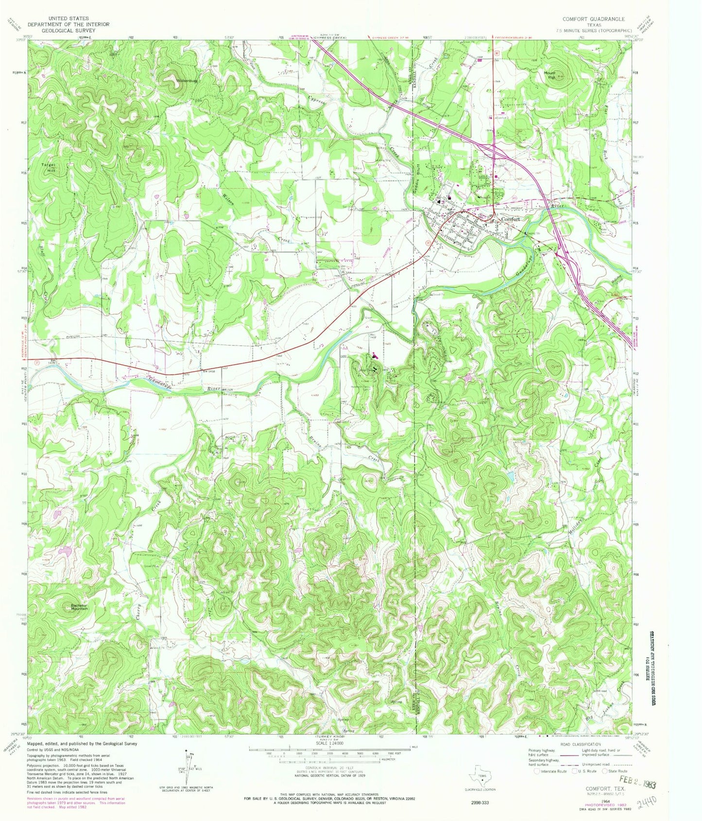
Historical USGS topographic quad map of Comfort in the state of Texas. Typical map scale is 1:24,000, but may vary for certain years, if available. Print size: 24" x 27"
This quadrangle is in the following counties: Kendall, Kerr.
The map contains contour lines, roads, rivers, towns, and lakes. Printed on high-quality waterproof paper with UV fade-resistant inks, and shipped rolled.
Contains the following named places: Bachelor Mountain, Bluff Creek, Bruins Creek, Camp Idlewide, Comfort, Cypress Creek, Gaddis Bluff, Altenheim Cemetery, Mount Rigi, North Creek, San Jose Cemetery, Target Hill, Wilson Creek, Wolkenburg, Cherry Creek, Hasenwinkel Creek, Comfort Airpark, Comfort Cemetery, Center Point Division, Comfort Elementary School, Comfort High School, Comfort Middle School, Otto Brinkmann House, Treue Der Union Monument, Comfort Historic District, Comfort Census Designated Place, Steves Family Cemetery, Treue der Union, Gaddis Cemetery, Comfort Volunteer Fire Department, Kendall County Emergency Medical Service Substation, Comfort Post Office, Kendall County Constable's Office Precinct 4, Scout Airport, His Hill Cemetery


