MyTopo
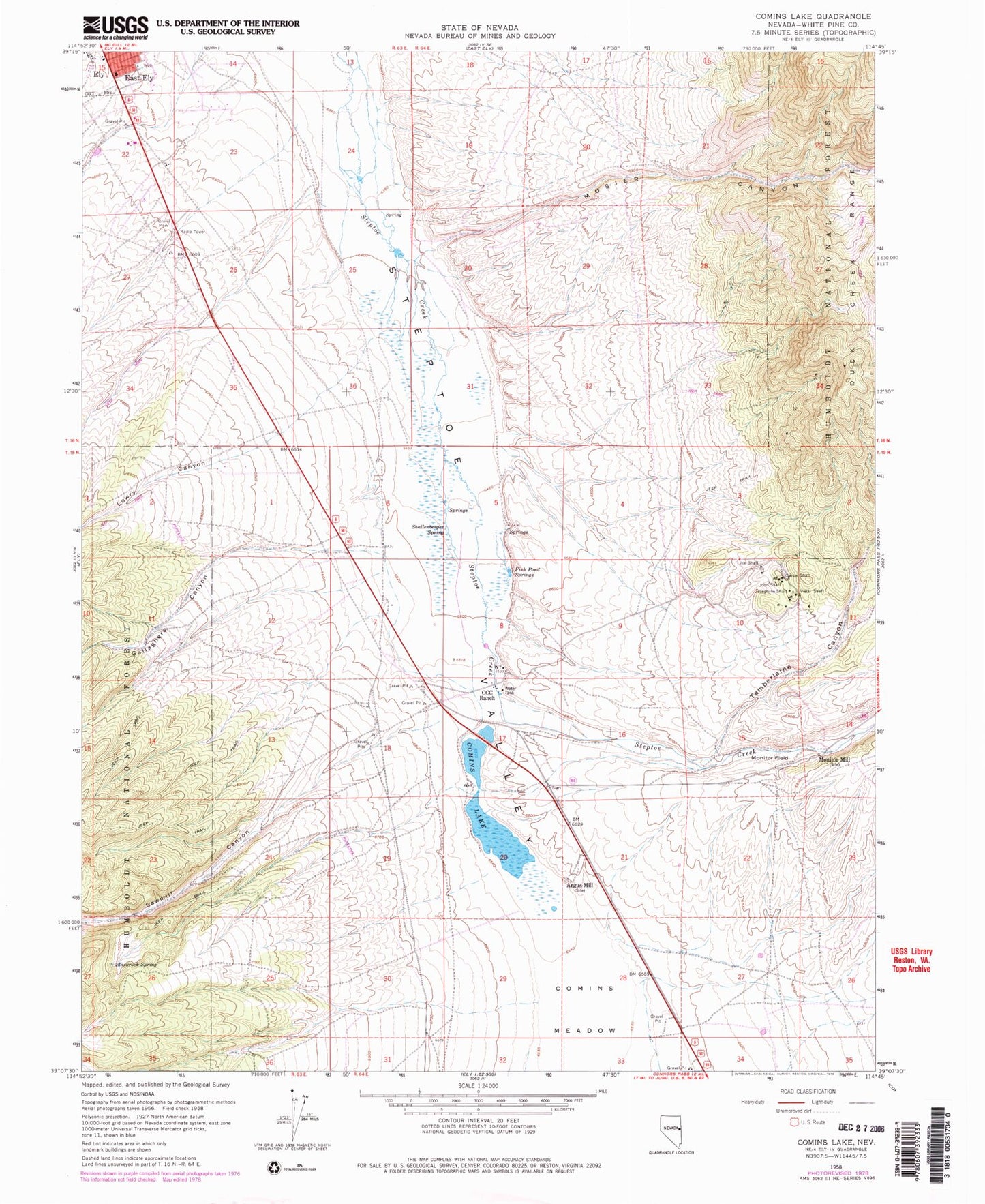
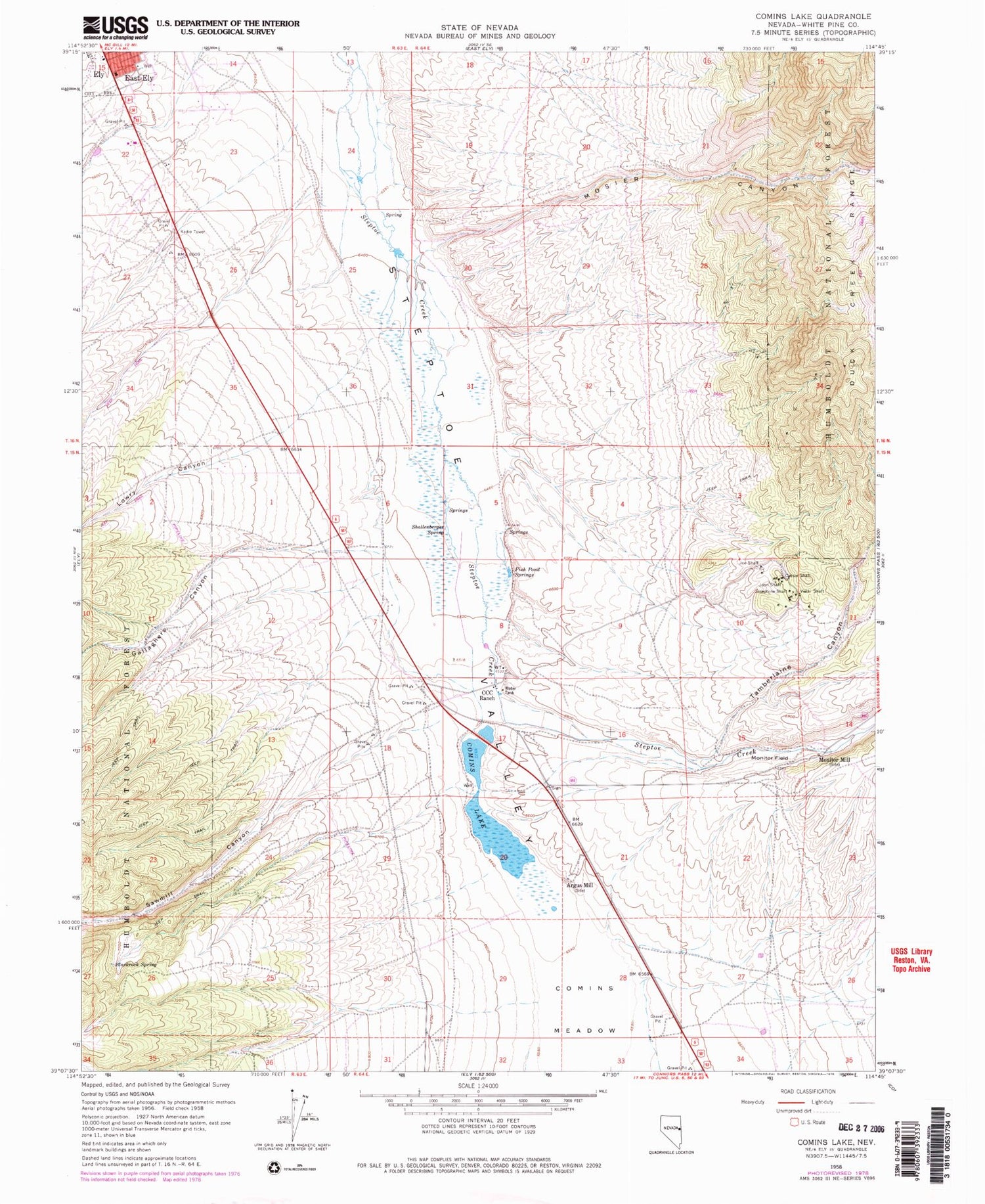
Classic USGS Comins Lake Nevada 7.5'x7.5' Topo Map
Couldn't load pickup availability
Historical USGS topographic quad map of Comins Lake in the state of Nevada. Map scale may vary for some years, but is generally around 1:24,000. Print size is approximately 24" x 27"
This quadrangle is in the following counties: White Pine.
The map contains contour lines, roads, rivers, towns, and lakes. Printed on high-quality waterproof paper with UV fade-resistant inks, and shipped rolled.
Contains the following named places: Argus Mill, Blackrock Spring, Caesar Shaft, CCC Ranch, Comins Lake, Comins Lake Dam, Comins Meadow, Ely Post Office, Ely Volunteer Fire Department, Fera Ninetynine, Fish Pond Springs, Gallaghers Canyon, Great Basin College Ely Branch Campus, Joe Shaft, John Shaft, Josephine Shaft, Lowry Canyon, McDonough Pits Mine, Monitor Field, Monitor Mill, Mosier Canyon, Sawmill Canyon, Shallenberger Spring, Steptoe Mine, Tamberlaine Canyon, Tamerlane, Vietti Shaft, Wagner Hill, White Pine County High School, White Pine County Sheriff's Office, Willow Creek


