MyTopo
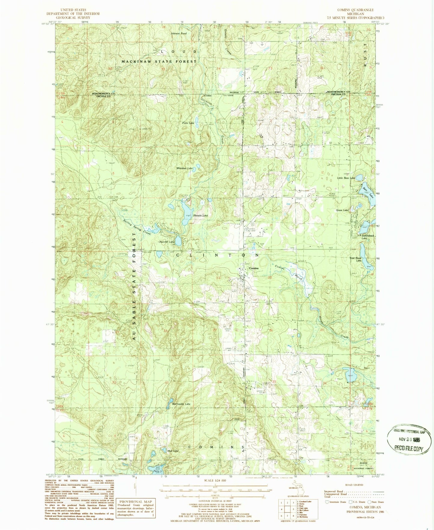
Classic USGS Comins Michigan 7.5'x7.5' Topo Map
Couldn't load pickup availability
Historical USGS topographic quad map of Comins in the state of Michigan. Map scale may vary for some years, but is generally around 1:24,000. Print size is approximately 24" x 27"
This quadrangle is in the following counties: Montmorency, Oscoda.
The map contains contour lines, roads, rivers, towns, and lakes. Printed on high-quality waterproof paper with UV fade-resistant inks, and shipped rolled.
Contains the following named places: Bass Lake, Boiling Spring Creek, Boiling Springs, Cedar Valley Golf Club, Churchill Lake, Comins, Comins Marsh, Comins Mennonite Church, Comins Post Office, Comins Station, Grass Lake, Johnson Pond, Little Bass Lake, Loud Cemetery, McCreedie Lake, Michigan Magazine Museum, Millen Station, Mud Lake, Pots Lake, Rhoads Lake, Steiner Museum, Tote Road Lake, Township of Clinton, Whitabee Lake, ZIP Code: 48619