MyTopo
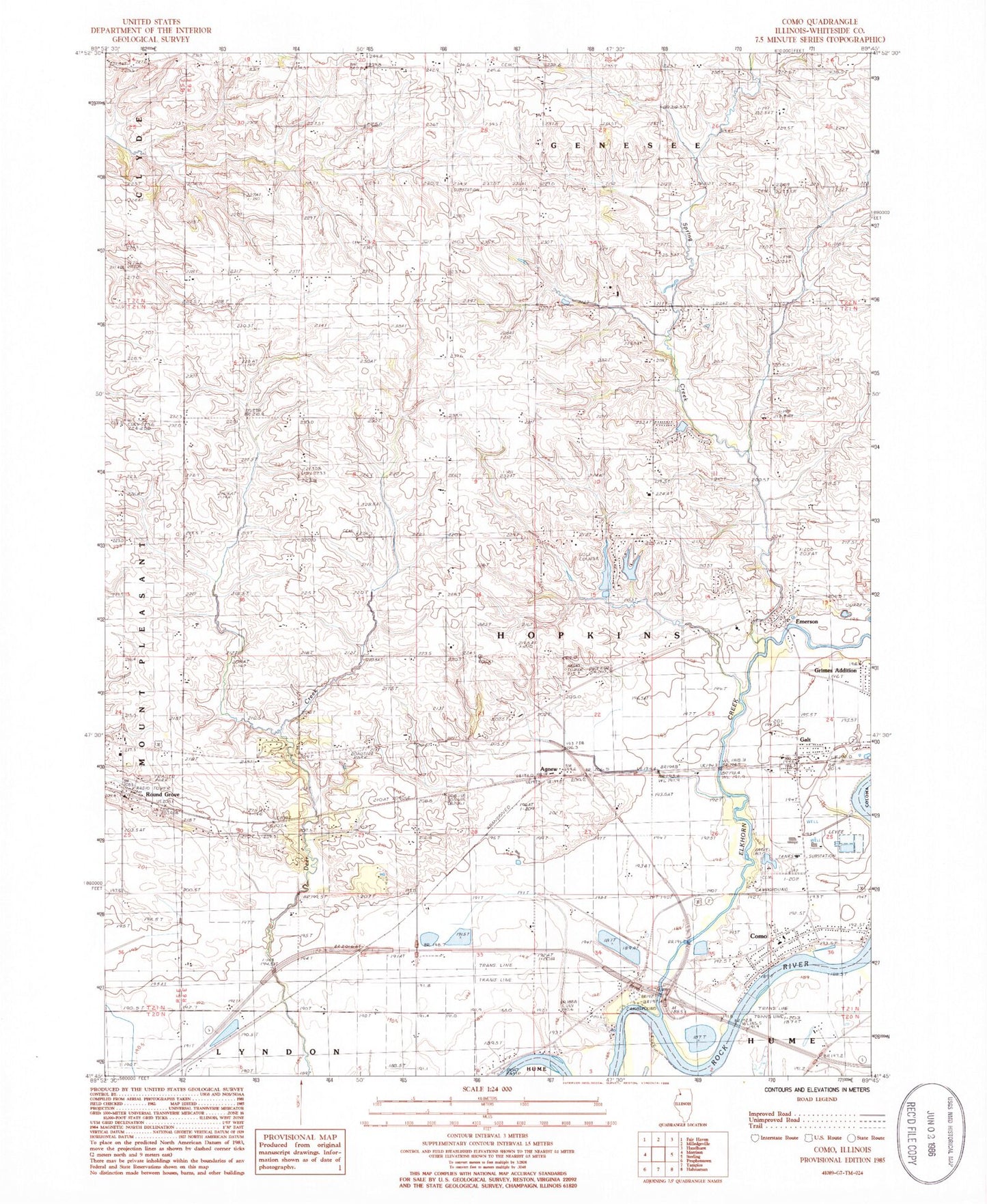
Classic USGS Como Illinois 7.5'x7.5' Topo Map
Couldn't load pickup availability
Historical USGS topographic quad map of Como in the state of Illinois. Map scale may vary for some years, but is generally around 1:24,000. Print size is approximately 24" x 27"
This quadrangle is in the following counties: Whiteside.
The map contains contour lines, roads, rivers, towns, and lakes. Printed on high-quality waterproof paper with UV fade-resistant inks, and shipped rolled.
Contains the following named places: Agnew, Como, Como Cemetery, Como Census Designated Place, East Genesee Cemetery, Elkhorn Creek, Emerson, Emerson Quarry, French Pond, French Pond Dam, Full Gospel Academy, Galt, Galt Census Designated Place, Galt Post Office, Hickory Grove Cemetery, Hickory Grove School, Hopewell School, Lafayette School, Leo Johnson Lake, Leo Johnson Lake Dam, McElrath School, New Genesee Post Office, North Star School, Our Savior Lutheran Cemetery, Peugh Cemetery, Round Grove, Round Grove Post Office, Sands, Spring Creek, Spring Slough, Stutzke Airport, Township of Hopkins, Washington School, Woodside School, ZIP Code: 61037