MyTopo
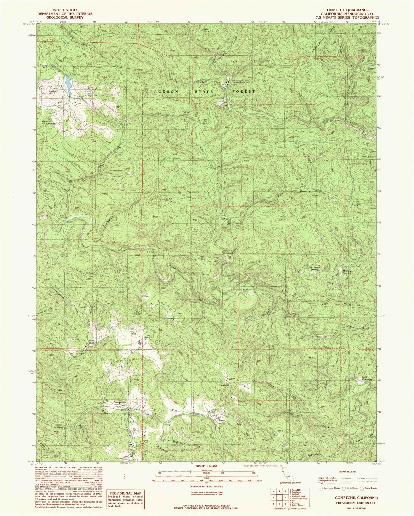
Classic USGS Comptche California 7.5'x7.5' Topo Map
Couldn't load pickup availability
Historical USGS topographic quad map of Comptche in the state of California. Map scale may vary for some years, but is generally around 1:24,000. Print size is approximately 24" x 27"
This quadrangle is in the following counties: Mendocino.
The map contains contour lines, roads, rivers, towns, and lakes. Printed on high-quality waterproof paper with UV fade-resistant inks, and shipped rolled.
Contains the following named places: Anderson Gulch, Biggs Gulch, Bowman Gulch, Burns Camp, Cameron, Caspar Lumber Company Camp Number 20, Chamberlain Creek, Chamberlain Creek Conservation Camp, Clark Opening, Comptche, Comptche Census Designated Place, Comptche Elementary School, Comptche Post Office, Comptche Volunteer Fire Department, Dietz Gulch, Docker Hill, Dunlap, Dunlap Pass, East Branch North Fork Big River, Freathy Creek, Grimes Ranch, James Creek, Kelly Gulch, Layton Sky Ranch, Little McDonald Gulch, Marsh Creek, McDonald Gulch, McDuffy Opening, McGuire 1386 Dam, McGuire Hill, McGuire Mill, Mettick Creek, Morrison Gulch, Nathaniel Smith Opening, North Fork Albion River, North Fork Big River, North Fork Camp, Old Camp 19, Park Gulch, Portuguese Gulch, Poverty Gulch, Ramon Creek, Russel Ranch, Russell Brook, Sindel Gulch, Soda Spring, Soda Spring Creek, South Fork Big River, South Fork Camp, Tramway Gulch, Two Log Creek, Water Gulch, Wild Horse Opening, Yordis Bark Camp


