MyTopo
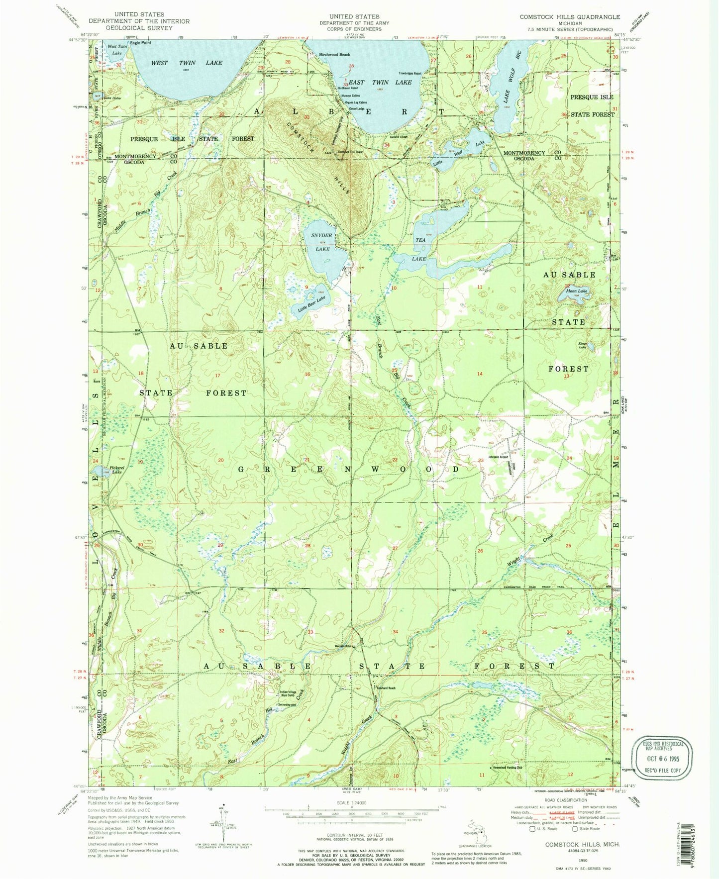
Classic USGS Comstock Hills Michigan 7.5'x7.5' Topo Map
Couldn't load pickup availability
Historical USGS topographic quad map of Comstock Hills in the state of Michigan. Map scale may vary for some years, but is generally around 1:24,000. Print size is approximately 24" x 27"
This quadrangle is in the following counties: Crawford, Montmorency, Oscoda, Otsego.
The map contains contour lines, roads, rivers, towns, and lakes. Printed on high-quality waterproof paper with UV fade-resistant inks, and shipped rolled.
Contains the following named places: Birchwood Beach, Birdhaven Resort, Comstock Fire Tower, Comstock Hills, Comstock Tobogan Slide, Cowhand Ranch, Eagle II Airport, Eagle Point, East Twin Lake, Elmer Lake, Garland Fountains Golf Course, Garland Monarch Golf Course, Garland Reflections Golf Course, Garland Swampfire Golf Course, Garland Village, Gassel Lodge, Greenwood Township Volunteer Fire Department Station 1, Greenwood Township Volunteer Fire Department Station 2, Homestead Hunting Club, Indian Village Boys Camp, Kirtlands Warbler Wildlife Management Area, La Belle Lake, Lake Big Wolf, Lake Dollar, Lewiston Shady Acres Campground, Little Bear Lake, Little Wolf Lake, Little Wolf Lake State Forest Campground, Moon Lake, Murrays Cabins, Organs Log Cabins, Pickerel Lake, Snyder Lake, Tea Lake, Township of Greenwood, Trowbridges Resort, Werners Hotel, ZIP Code: 49756


