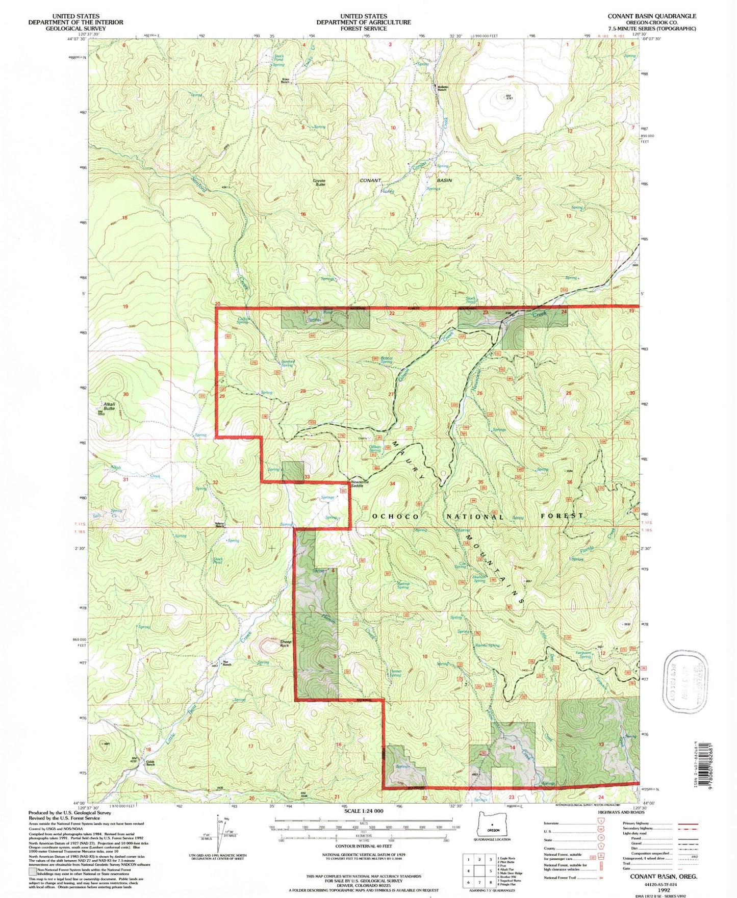
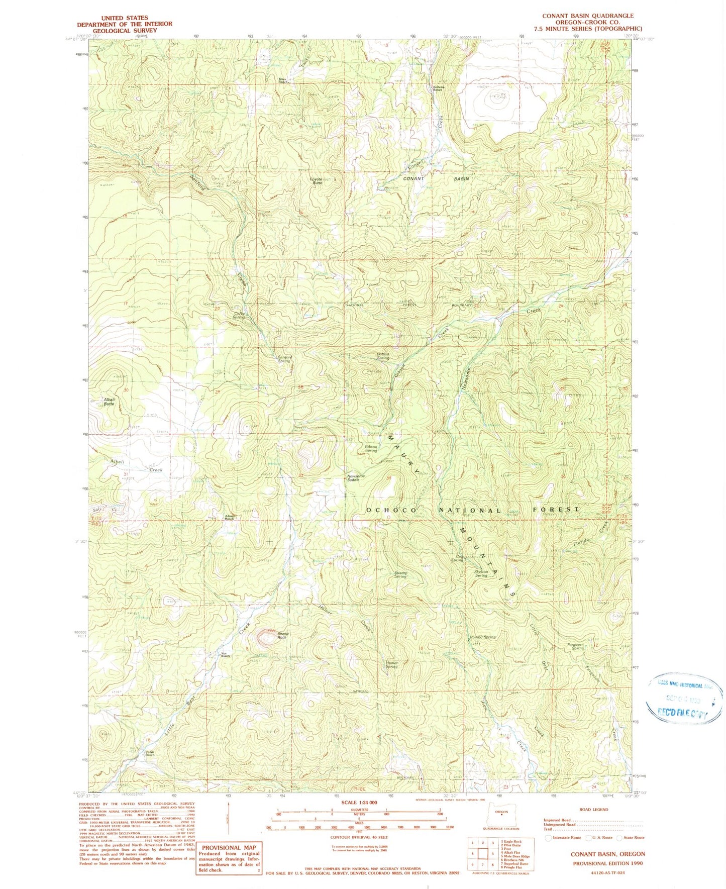
MyTopo
Classic USGS Conant Basin Oregon 7.5'x7.5' Topo Map
Couldn't load pickup availability
Historical USGS topographic quad map of Conant Basin in the state of Oregon. Map scale may vary for some years, but is generally around 1:24,000. Print size is approximately 24" x 27"
This quadrangle is in the following counties: Crook.
The map contains contour lines, roads, rivers, towns, and lakes. Printed on high-quality waterproof paper with UV fade-resistant inks, and shipped rolled.
Contains the following named places: Adams Ranch, Alkali Butte, Beoletto Ranch, Bobcat Spring, Cofelt Ranch, Colby Spring, Conant Basin, Cox Spring, Coyote Butte, Ferguson Spring, Gibson Creek, Gibson Spring, Hamer Creek, Hamer Spring, Juniper Point, Kizer Ranch, Mud Spring, Newsome Saddle, Nye Ranch, Rambo Spring, Sanford Spring, Sheep Rock, Skelton Spring, Sunny Slope Springs, Swamp Spring