MyTopo
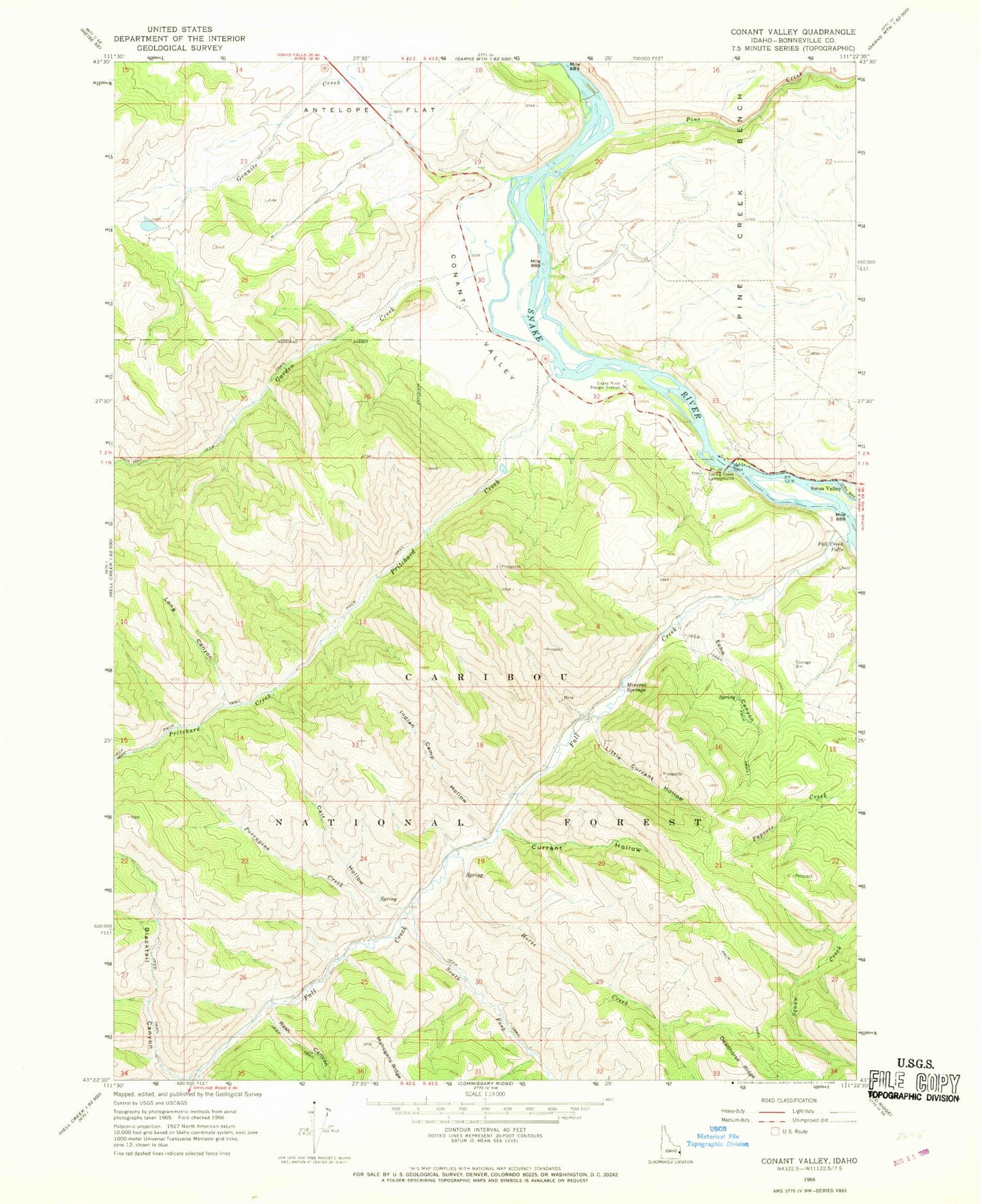
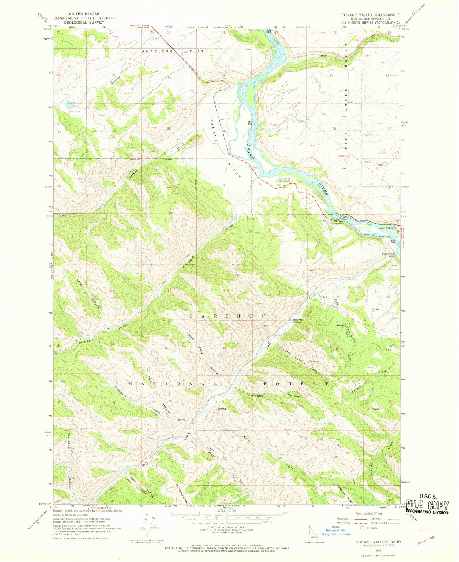
Classic USGS Conant Valley Idaho 7.5'x7.5' Topo Map
Couldn't load pickup availability
Historical USGS topographic quad map of Conant Valley in the state of Idaho. Typical map scale is 1:24,000, but may vary for certain years, if available. Print size: 24" x 27"
This quadrangle is in the following counties: Bonneville.
The map contains contour lines, roads, rivers, towns, and lakes. Printed on high-quality waterproof paper with UV fade-resistant inks, and shipped rolled.
Contains the following named places: Blacktail Canyon, Calf Hollow, Conant Valley, Currant Hollow, Echo Canyon, Fall Creek, Fall Creek Falls, Garden Creek, Granite Creek, Horse Creek, Indian Camp Hollow, Little Currant Hollow, Long Canyon, Mineral Springs, Pine Creek, Pine Creek Bench, Porcupine Creek, Pritchard Creek, Rainey Creek, Rash Canyon, Snake River Ranger Station, South Fork Fall Creek, Spring Creek Campground, Sawmill Creek, Toliver Dam, Granite Creek Dam, Echo Creek, Indian Camp Creek, Staffel Island


