MyTopo
Classic USGS Concord Arkansas 7.5'x7.5' Topo Map
Couldn't load pickup availability
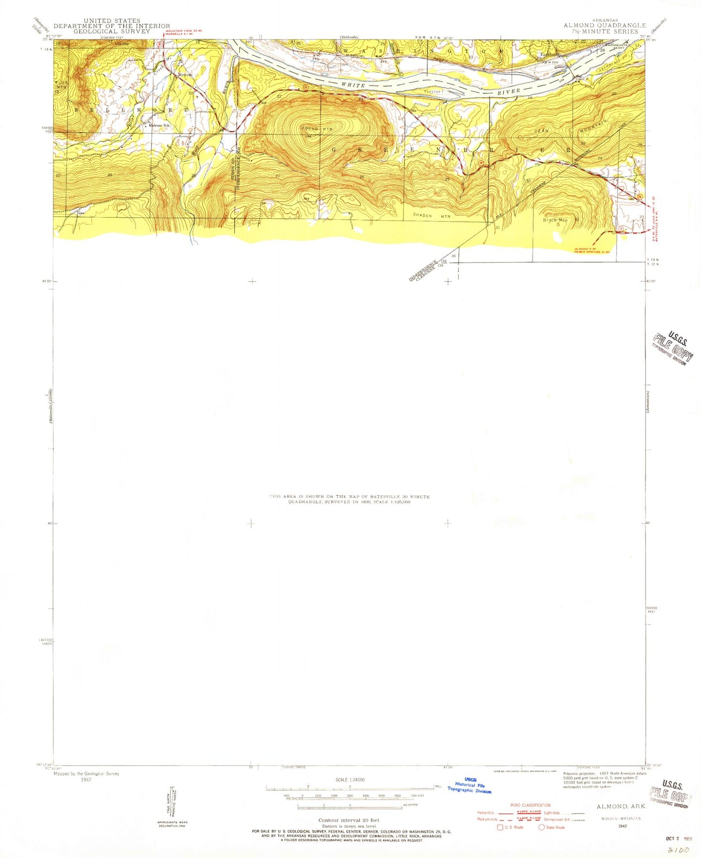
Historical USGS topographic quad map of Concord in the state of Arkansas. Map scale may vary for some years, but is generally around 1:24,000. Print size is approximately 24" x 27"
This quadrangle is in the following counties: Cleburne, Independence, Stone.
The map contains contour lines, roads, rivers, towns, and lakes. Printed on high-quality waterproof paper with UV fade-resistant inks, and shipped rolled.
Contains the following named places: Alexander Cemetery, Almond, Almond Lookout Tower, Bailey Falls, Bailey Hollow, Banner, Banner Church, Bellmore Cemetery, Berry Hollow, Betsey Gill Creek, Bone Hill, Brier Creek, Brock Mountain, Bullard Lake, Bullard Lake Dam, Burton Point, Caney Creek, Chimney Rocks, Chinquapin Creek, Clark Hollow, Concord, Concord City Marshall's Office, Concord Elementary School, Concord High School, Concord Post Office, Concord Volunteer Fire Department, Copper Spring, Crane Hollow, Dean Mountain, Earnheart, Foushee Island, Foushee Slough, Goodwin Slough, Iron Spring Hollow, Johnson Hollow, Kettle Hollow, Little Bayou, Lock and Dam Number 2, Low Gap, Melrose, Melrose School, Mount Zion Baptist Church, Mount Zion Cemetery, Pat Hollow, Round Mountain, Sook Spring, Spring Hollow, Starnes Spring, Starnes Spring Cemetery, Starnes Springs Post Office, Still Hollow, Town of Concord, Township of Grassey, Wolf Bayou, Womack Spring Hollow, Yellow Branch, ZIP Codes: 72523, 72550