MyTopo
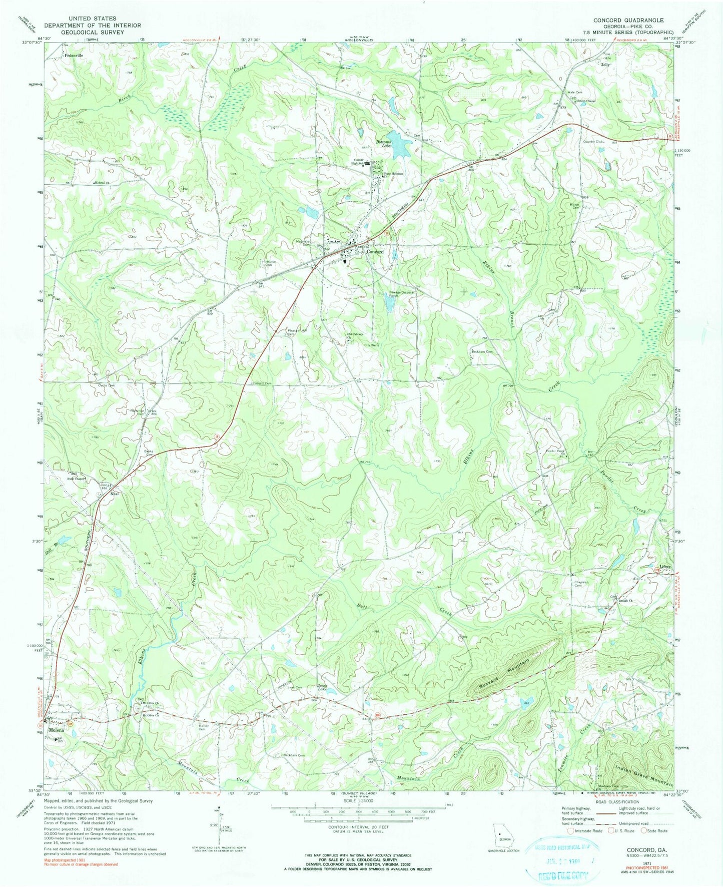
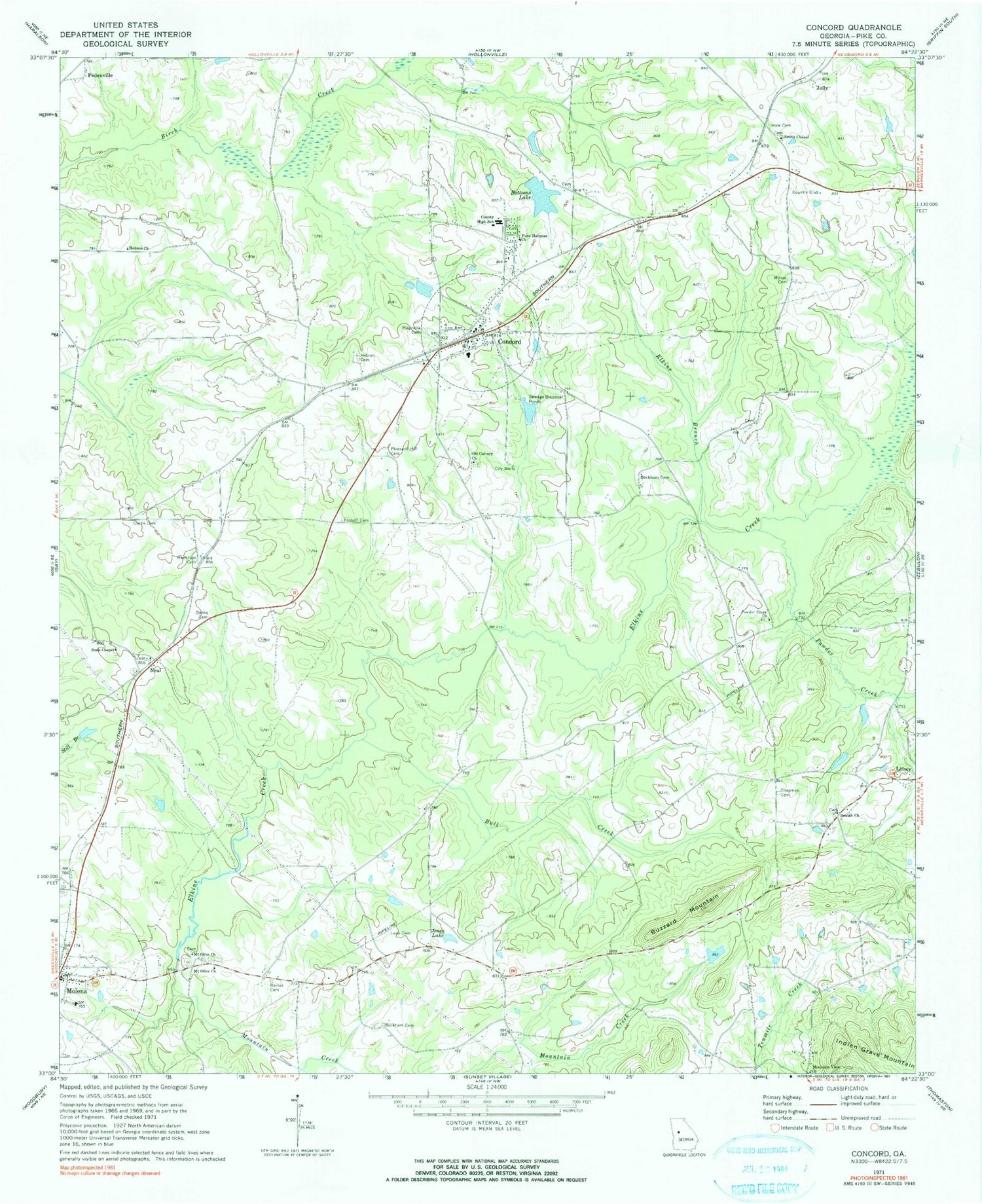
Classic USGS Concord Georgia 7.5'x7.5' Topo Map
Couldn't load pickup availability
Historical USGS topographic quad map of Concord in the state of Georgia. Map scale may vary for some years, but is generally around 1:24,000. Print size is approximately 24" x 27"
This quadrangle is in the following counties: Pike.
The map contains contour lines, roads, rivers, towns, and lakes. Printed on high-quality waterproof paper with UV fade-resistant inks, and shipped rolled.
Contains the following named places: Banks Cemetery, Barker, Barker Cemetery, Bates Pond, Bates Pond Dam, Beaver Creek Airport, Beckham Cemetery, Beulah Cemetery, Beulah Church, Bottoms, Bottoms Lake, Bottoms Lake Dam, Bull Creek, Bush Chapel, Bush Chapel Cemetery, Buzzard Mountain, Chapman Cemetery, City of Concord, Clear Creek, Concord, Concord Church Cemetery, Concord Post Office, Concord Volunteer Fire Department, Concord-Molena Division, Curtis Cemetery, Deliverance Tabernacle of Praise - South, Elkins Branch, Flying 'H' Ranch Airport, Fossett Cemetery, Hale Cemetery, Hamilton Cemetery, Hebron Church, Hilltop, Hilltop Census Designated Place, Johnson Lake, Johnson Lake Dam, Jolly, Jones Lake, Jones Lake Dam, Leak Cemetery, Lifsey Springs Volunteer Fire Department, Magnolia Cemetery, Meadowlark Airport, Milner Cemetery, Molena Assembly Church, Molena Cemetery, Molena Post Office, Mount Olive Church, Mount Olive Church Cemetery, Mountain Creek, Mountain View Cemetery, Mountain View Church, Neal, Neal Baptist Church, Neal Baptist Church Cemetery, Old Calvary Church, Old Calvary Church Cemetery, Old Hebron Cemetery, Old Hebron Church, Old Town Country Club, Pedenville, Pedenville School, Pike County, Pleasant Hill Cemetery, Powder Creek, Powder Creek Cemetery, Powder Creek Church, Pure Holiness Church, Smith Chapel, Smiths Chapel, Takle Field, Thacker Field, Upper Wildwood Farms Lake, Upper Wildwood Farms Lake Dam, Wildwood Farms Lake, Wildwood Farms Lake Dam, Windrift Aerodrome, ZIP Code: 30206


