
MyTopo
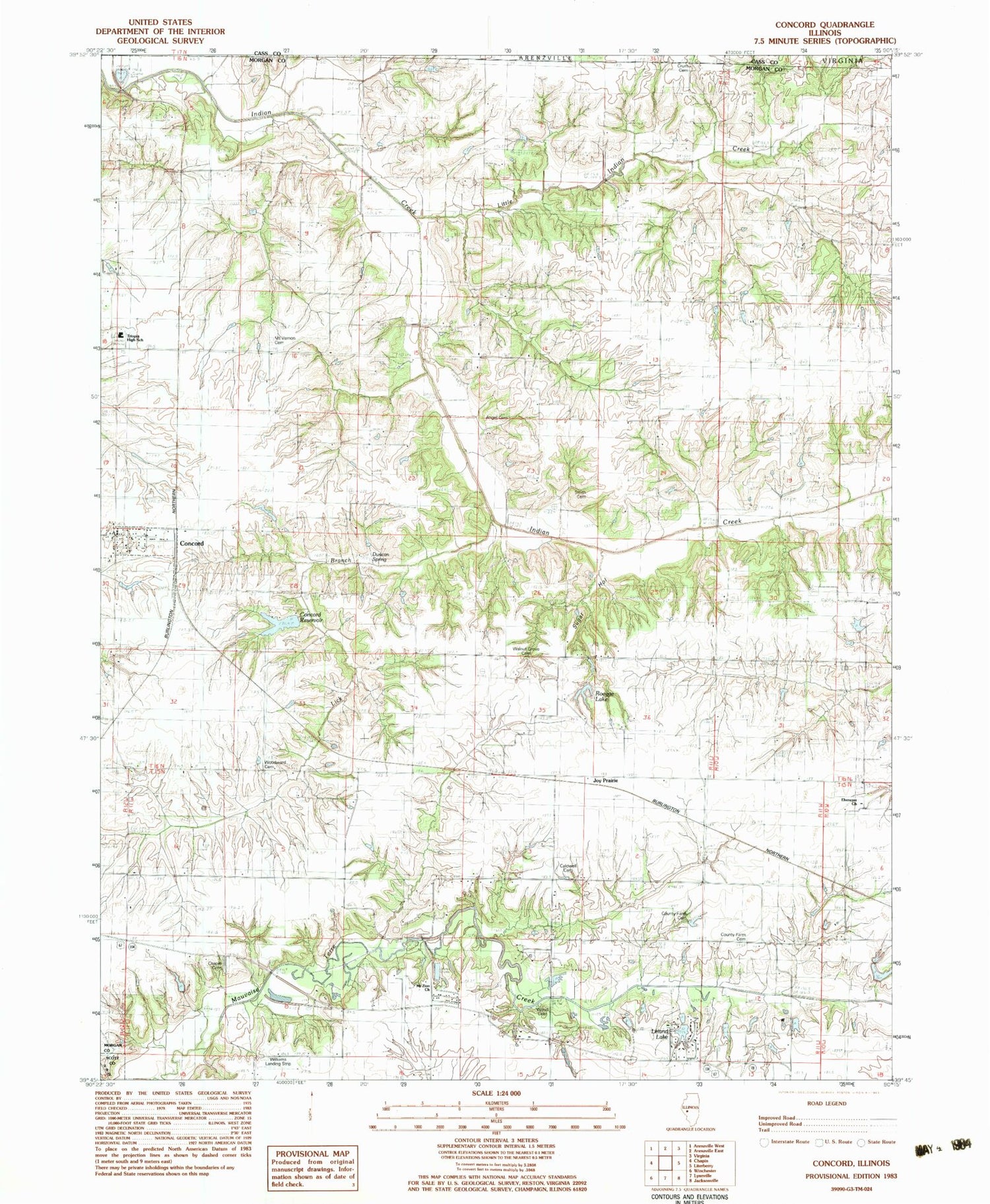
Classic USGS Concord Illinois 7.5'x7.5' Topo Map
Couldn't load pickup availability
Historical USGS topographic quad map of Concord in the state of Illinois. Map scale may vary for some years, but is generally around 1:24,000. Print size is approximately 24" x 27"
This quadrangle is in the following counties: Cass, Morgan, Scott.
The map contains contour lines, roads, rivers, towns, and lakes. Printed on high-quality waterproof paper with UV fade-resistant inks, and shipped rolled.
Contains the following named places: Angel Cemetery, Applebee Pond, Applebee Pond Dam, Arcadia Election Precinct, Caldwell Cemetery, Chapin Cemetery, Concord, Concord Christian Church, Concord Election Precinct, Concord Post Office, Concord Reservoir, Concord Reservoir Dam, Concord United Methodist Church, Concord Volunteer Fire Department, Crum Cemetery, Duncan Spring, Duncan Springs School, Ebenezer Cemetery, Ebenezer Church, Ebenezer School, Grace Chapel, Harmony School, Jersey College School, Joy Prairie, Kinnan School, Leland Lake, Lick Branch, Little Indian Creek, Morgan County Farm Cemetery, Morgan County Poor Farm Cemetery, Mount Vernon Cemetery, Mount Vernon School, Mount Zion Church, Mount Zion Lutheran Cemetery, North Union School, Pleasant Grove School, Roegge Lake, Smith Cemetery, Sugar Hollow, Sunnyside School, Triopia Junior-Senior High School, Union School, Village of Concord, Walnut Grove Cemetery, Walnut Grove School, Werries Airport, Whiteoak Grove School, Williams Airpark, Wood Cemetery, Woodward Cemetery, ZIP Code: 62631


