MyTopo
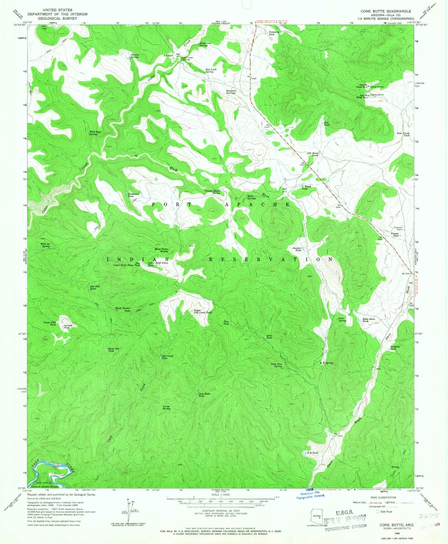
Classic USGS Cone Butte Arizona 7.5'x7.5' Topo Map
Couldn't load pickup availability
Historical USGS topographic quad map of Cone Butte in the state of Arizona. Map scale may vary for some years, but is generally around 1:24,000. Print size is approximately 24" x 27"
This quadrangle is in the following counties: Gila.
The map contains contour lines, roads, rivers, towns, and lakes. Printed on high-quality waterproof paper with UV fade-resistant inks, and shipped rolled.
Contains the following named places: Anderson Spring, Apache Pond Dam Number One, Apache Pond Dam Number Two, Apache Pond Number One, Apache Pond Number Two, Bad Luck Spring, Black Grama Tank, Blue Rock Butte, Calf Creek Tank, Cave Creek, Cedar Creek Crossing, Cedar Drift Fence Tank, Cemetery Tank, Chipmunk Tank, Cone Butte, Cone Butte Tank, Dead Cow Tank, Deer Spring, E B Spring, E B Tank, Endfield Tank, G Wash, G Wash Tank, Juniper Tank, Kelly Butte Tank, Lone Pine Spring, Lone Tank, Louse Flat, Louse Flat Tank, Mare Springs, New Cedar Drift Fence Tank, Old Road Tank, Pinyon Tank, Plow Tank, Red Hill Tank, R-fourteen Ranch, Rim Tank, Roadside Table Milepost Three Hundred Twentyseven, Sam Green Tank, Seasonal Springs, Shower Spring, Trailer House Spring, Upper Calf Creek Tank, Wild Bull Spring, Wild Ox Spring