MyTopo
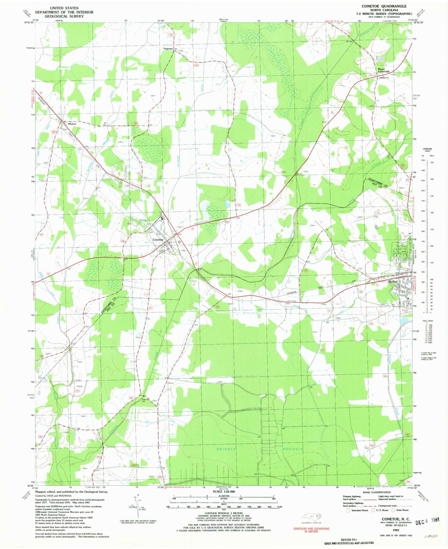
Classic USGS Conetoe North Carolina 7.5'x7.5' Topo Map
Couldn't load pickup availability
Historical USGS topographic quad map of Conetoe in the state of North Carolina. Map scale may vary for some years, but is generally around 1:24,000. Print size is approximately 24" x 27"
This quadrangle is in the following counties: Edgecombe, Pitt.
The map contains contour lines, roads, rivers, towns, and lakes. Printed on high-quality waterproof paper with UV fade-resistant inks, and shipped rolled.
Contains the following named places: Ballahack Canal, Bethel, Conetoe, Conetoe Post Office, Conetoe Volunteer Fire Department and Emergency Medical Services, Crisp Creek, Dogtown, Fountain Fork Creek, Johnson Church, Lewis Canal, Mayos Crossroads, Mildred, Thomas Canal, Town of Bethel, Town of Conetoe, Township 2-Lower Conetoe, ZIP Code: 27819