MyTopo
Classic USGS Confluence Pennsylvania 7.5'x7.5' Topo Map
Couldn't load pickup availability
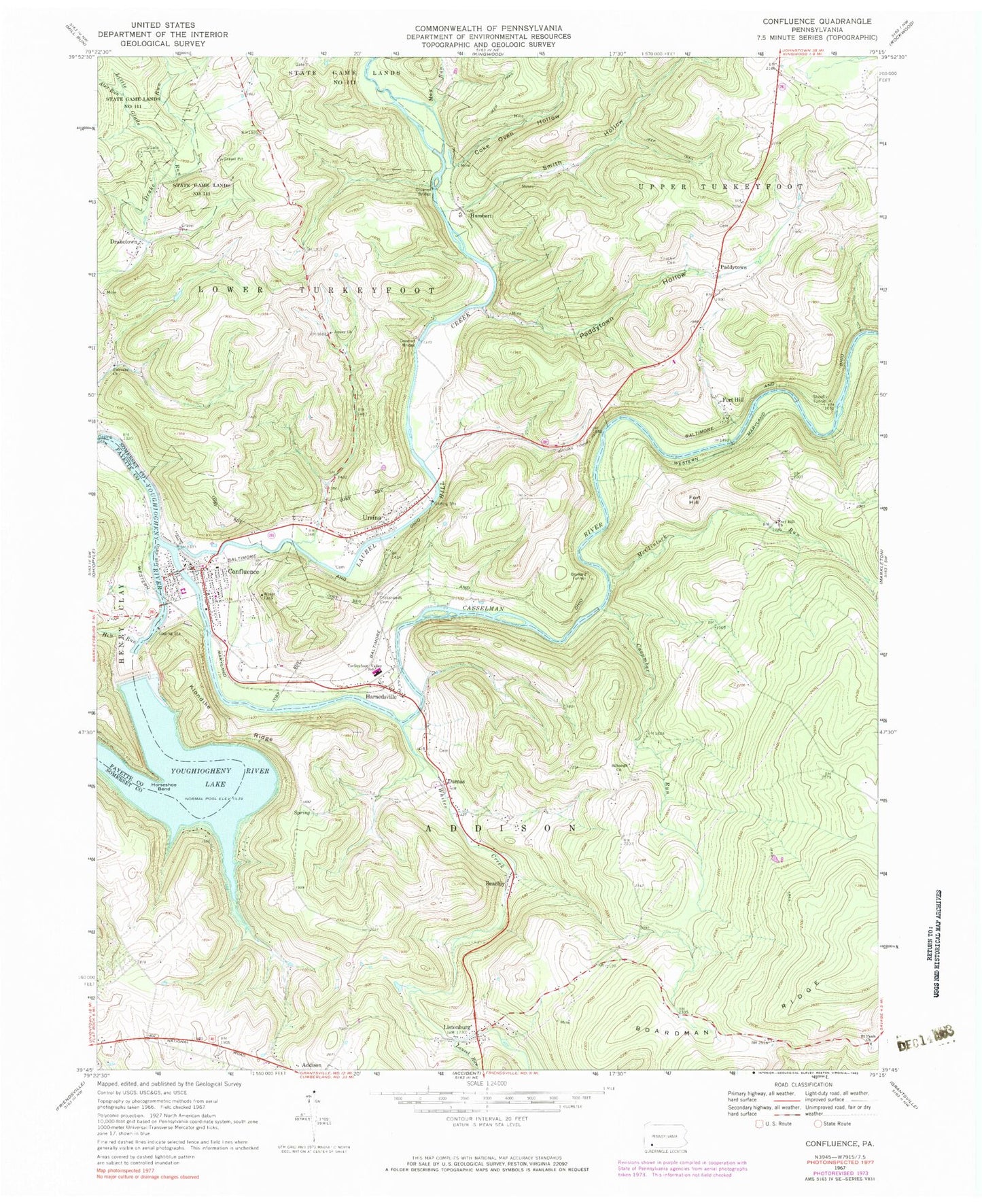
Historical USGS topographic quad map of Confluence in the state of Pennsylvania. Typical map scale is 1:24,000, but may vary for certain years, if available. Print size: 24" x 27"
This quadrangle is in the following counties: Fayette, Somerset.
The map contains contour lines, roads, rivers, towns, and lakes. Printed on high-quality waterproof paper with UV fade-resistant inks, and shipped rolled.
Contains the following named places: Alex Run, Beachly, Benford Tunnel, Boardman Ridge, Brooks Tunnel, Coke Oven Hollow, Confluence, Crossroads Cemetery, Cucumber Run, Draketown, Dumas, Fairoaks Church, Fort Hill, Fort Hill, Fort Hill Church, Glade Run, Harnedsville, Hen Run, Horseshoe Bend, Jersey Church, Klondike Ridge, Laurel Run, Listonburg, May Run, McClintock Run, Paddytown Hollow, Saint Pauls Church, Shoofly Tunnel, Sillbaugh Church, Smith Hollow, Turkeyfoot Valley School, Ursina, Whites Creek, Old Paddytown Cemetery, Little Glade Run, Youghiogheny River Lake, Youghiogheny Dam, Laurel Hill Creek, Casselman River, Lost Run, Humbert, Paddytown, Dumas School, Coffin Rock Church, Silbaugh School, Fort Hill School, Younkin School, Bethel Church (historical), Kregar School (historical), Bethel Church, Brushtown School, State Game Lands Number 271, Confluence Oakland Junction Station, Ursina Junction Station, Lincoln Siding Station, Licking Run, Borough of Confluence, Borough of Ursina, Township of Addison, Township of Lower Turkeyfoot, Becket Run, Confluence Volunteer Fire Company Station 612, Confluence Community Ambulance Service, Confluence Post Office, Fort Hill Post Office, Confluence Borough Police Department, Alex Run, Beachly, Benford Tunnel, Boardman Ridge, Brooks Tunnel, Coke Oven Hollow, Confluence, Crossroads Cemetery, Cucumber Run, Draketown, Dumas, Fairoaks Church, Fort Hill, Fort Hill, Fort Hill Church, Glade Run, Harnedsville, Hen Run, Horseshoe Bend, Jersey Church, Klondike Ridge, Laurel Run, Listonburg, May Run, McClintock Run, Paddytown Hollow, Saint Pauls Church, Shoofly Tunnel, Sillbaugh Church, Smith Hollow, Turkeyfoot Valley School, Ursina, Whites Creek, Old Paddytown Cemetery, Little Glade Run, Youghiogheny River Lake, Youghiogheny Dam, Laurel Hill Creek, Casselman River, Lost Run, Humbert, Paddytown, Dumas School, Coffin Rock Church, Silbaugh School, Fort Hill School, Younkin School, Bethel Church (historical), Kregar School (historical), Bethel Church, Brushtown School, State Game Lands Number 271, Confluence Oakland Junction Station, Ursina Junction Station, Lincoln Siding Station, Licking Run, Borough of Confluence, Borough of Ursina, Township of Addison, Township of Lower Turkeyfoot, Becket Run, Confluence Volunteer Fire Company Station 612, Confluence Community Ambulance Service, Confluence Post Office, Fort Hill Post Office, Confluence Borough Police Department


