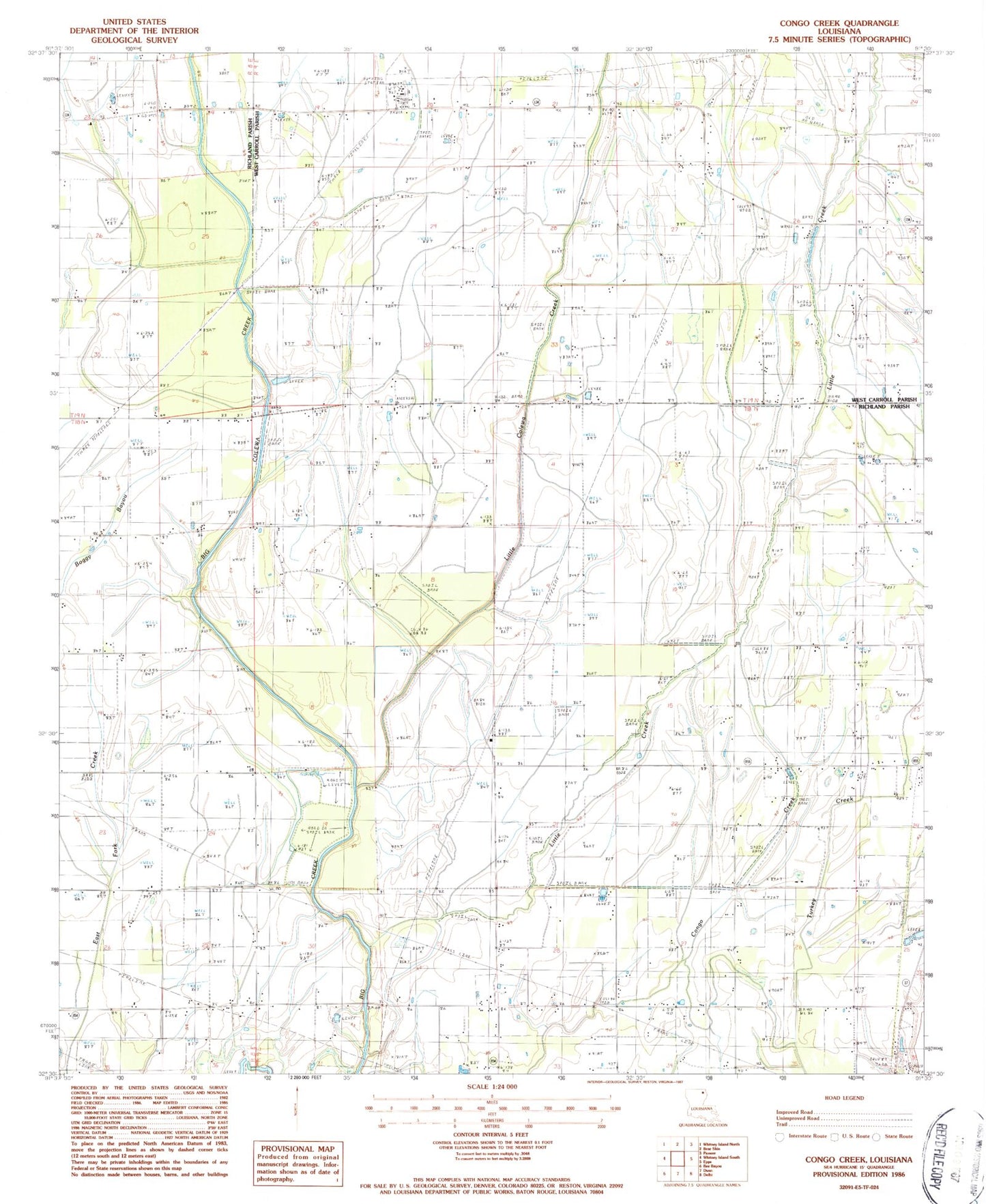
MyTopo
Classic USGS Congo Creek Louisiana 7.5'x7.5' Topo Map
Regular price
$16.95
Regular price
Sale price
$16.95
Unit price
per
Couldn't load pickup availability
Historical USGS topographic quad map of Congo Creek in the state of Louisiana. Map scale may vary for some years, but is generally around 1:24,000. Print size is approximately 24" x 27"
This quadrangle is in the following counties: Richland, West Carroll.
The map contains contour lines, roads, rivers, towns, and lakes. Printed on high-quality waterproof paper with UV fade-resistant inks, and shipped rolled.
Contains the following named places: Big Colewa Creek, Fairview Church, Hegwood Church, Little Colewa Creek, Little Creek, Little Creek Church, Parish Governing Authority District 1, Pentecostal Church, Shady Grove Church, Silver Star Church, Warden Gas Field