MyTopo
Classic USGS Congress SW Arizona 7.5'x7.5' Topo Map
Regular price
$16.95
Regular price
Sale price
$16.95
Unit price
per
Couldn't load pickup availability
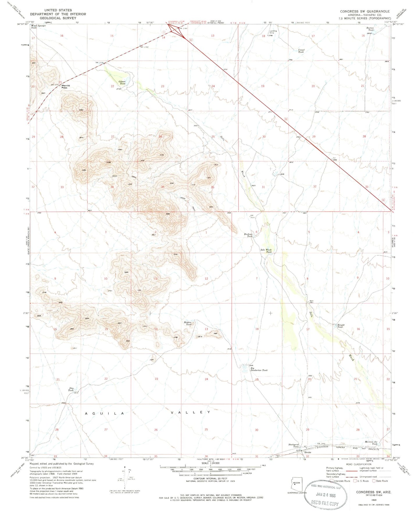
Historical USGS topographic quad map of Congress SW in the state of Arizona. Map scale may vary for some years, but is generally around 1:24,000. Print size is approximately 24" x 27"
This quadrangle is in the following counties: Yavapai.
The map contains contour lines, roads, rivers, towns, and lakes. Printed on high-quality waterproof paper with UV fade-resistant inks, and shipped rolled.
Contains the following named places: Big Pemberton Tank, Brahma Tank, Burton Tank, Camel Tank, Divide, Dry Tank, Gibson Tank, Hidden Tank, Knight Tank, Merritt Pass, Mexican Joe Tank, Sols Wash Tank, Stockyard Tank