MyTopo
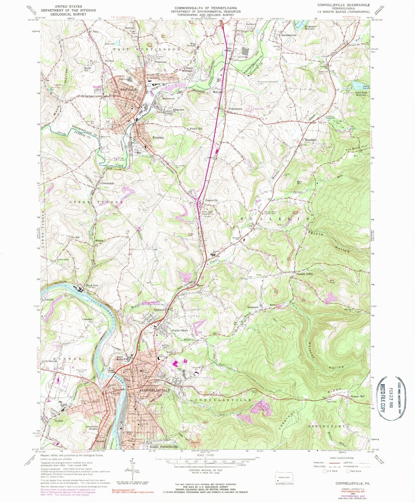
Classic USGS Connellsville Pennsylvania 7.5'x7.5' Topo Map
Couldn't load pickup availability
Historical USGS topographic quad map of Connellsville in the state of Pennsylvania. Map scale may vary for some years, but is generally around 1:24,000. Print size is approximately 24" x 27"
This quadrangle is in the following counties: Fayette, Westmoreland.
The map contains contour lines, roads, rivers, towns, and lakes. Printed on high-quality waterproof paper with UV fade-resistant inks, and shipped rolled.
Contains the following named places: Adelaide, Bark Hill, Bellvue School, Borough of Everson, Borough of Scottdale, Boyd Cemetery, Breakneck, Breakneck Run, Bridgeport Reservoir, Broad Ford, Buckeye, Bullskin Elementary School, Bullskin Fairgrounds, Bullskin Township Volunteer Fire Department Station 1 - 45, Bullskin Township Volunteer Fire Department Station 2 - 45, Campbell Airport, Central Day Care Center, Chestnut Hill Cemetery, City of Connellsville, Coldbrook, Connell Family Cemetery, Connell Run, Connellsville, Connellsville Area Senior High School, Connellsville City Fire Department Station 8, Connellsville Police Department, Connellsville Post Office, Connellsville Township Elementary School, Connellsville Township Volunteer Fire Department Station 7, Crawford School, Crossland, Crossroads School, Dry Hill, Dunbar Creek, Durbins School, Everson, Everson Post Office, Everson Volunteer Fire Company Station 14, Fairview Church Cemetery, Fayette Emergency Medical Services Bullskin, Fayette Emergency Medical Services Connellsville, Galley Run, Gault School, Geibel High School, Gilmore School, Green Acres Heliport, Green Lick Cemetery, Green Lick Dam, Green Lick Reservoir, Green Lick Run, Green Ridge Memorial Park, Greenlick Run Dam, Greenwood Heights, Guardian Angels Day Care and Learning Center, Hammondville, Hawkeye, Hickory Square Church, Highlands Hospital, Hill Grove Cemetery, Holy Trinity Roman Catholic Cemetery, Immaculate Conception School, Irish Run, Iron Bridge, Jacobs Creek Church, Keifertown, Kingview, Lake Forest Park, Latta Run, Loucks Park, McClure, Miedel Hill, Mock Hollow, Morgan, Mount Carmel Church, Mount Nebo, Mount Olive Cemetery, Mount Oliver Church, Mount Pleasant/Scottdale Airport, Mount Vernon Park, Mounts Creek, Moyer, Mud School, Mutual Aid Ambulance Service Scottdale, New Haven, New Haven Hose Volunteer Fire Company Station 8, North Manor, North Scottdale, Old Saint Joseph's Cemetery, Opossum Run, Ore Mine Hill, Our Lady of Mount Carmel Catholic Cemetery, Owensdale, Pa-656 Reservoir, Paradise Church, Penn Line Service Airport, Pennsville, Pennsville Baptist Cemetery, Pennsville Church, Pennsville Independent Cemetery, Pennsville Mennonite Cemetery, Pinetree, Pleasant Hill, Pleasant Hill School, Pleasant Valley, Pleasant Valley Country Club, Point of Rocks Cemetery, Polecat Hollow, Poplar Grove, Prittstown, Rice Cemetery, Rice School, Rich Hill Cemetery, Rich Hill Church, Rich Hill Quarry, Saint Emery's Cemetery, Saint Emorys Cemetery, Saint John Greek Catholic Cemetery, Saint John the Baptist Roman Catholic Cemetery, Saint John the Baptist School, Saint Johns Cemetery, Saint Josef's Polish Catholic Cemetery, Saint Joseph's Roman Catholic Cemetery Old, Saint Ritas Cemetery, Saint Ritas School, Scottdale, Scottdale Armory, Scottdale Cemetery, Scottdale Elementary School, Scottdale Post Office, Scottdale Public Library, Scottdale Volunteer Fire Department Central Station, Scottdale Volunteer Fire Department Engine Company 2, Scottdale Volunteer Fire Department Station 4, Second Ward School, Sherrick Run, Slonecker Cemetery, Snydertown, South Connellsville Volunteer Fire Department Station 37, South Side School, Springfield Pike Quarry, Spruce Hollow, Spruce Run, Stauffer Run, Third Ward School, Thornwood, Township of Bullskin, Township of Connellsville, Township of Upper Tyrone, Trotter, Trump Hollow, W P H S Airport, Walnut Hill, WCVI-AM (Connellsville), West Overton, West Side Hill Cemetery, Wheeler, Whites Run, WLSW-FM (Scottdale), Wooddale, ZIP Codes: 15425, 15631, 15683


