
MyTopo
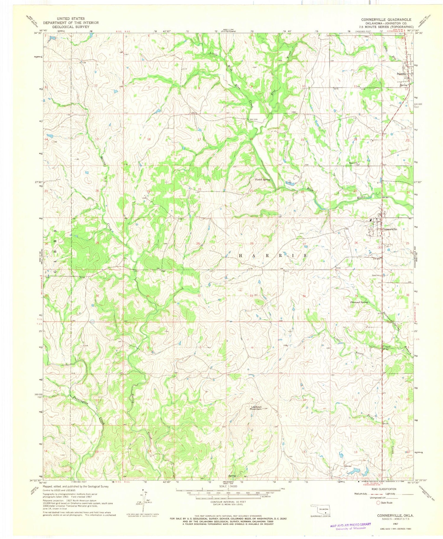
Classic USGS Connerville Oklahoma 7.5'x7.5' Topo Map
Couldn't load pickup availability
Historical USGS topographic quad map of Connerville in the state of Oklahoma. Map scale may vary for some years, but is generally around 1:24,000. Print size is approximately 24" x 27"
This quadrangle is in the following counties: Johnston.
The map contains contour lines, roads, rivers, towns, and lakes. Printed on high-quality waterproof paper with UV fade-resistant inks, and shipped rolled.
Contains the following named places: Blue Church, Connerville, Connerville Cemetery, Connerville Census Designated Place, Connerville Fire Department, Connerville Post Office, Diamond Spring, Little Pecan Creek, Little West Blue Creek, Lookout Mountain, Pontotoc, Pontotoc Census Designated Place, Tisdell Spring, Tishomingo National Fish Hatchery, Township of Harris, Upper Clear Boggy Creek Site 37 Dam, Upper Clear Boggy Creek Site 37 Reservoir, ZIP Code: 74836


