MyTopo
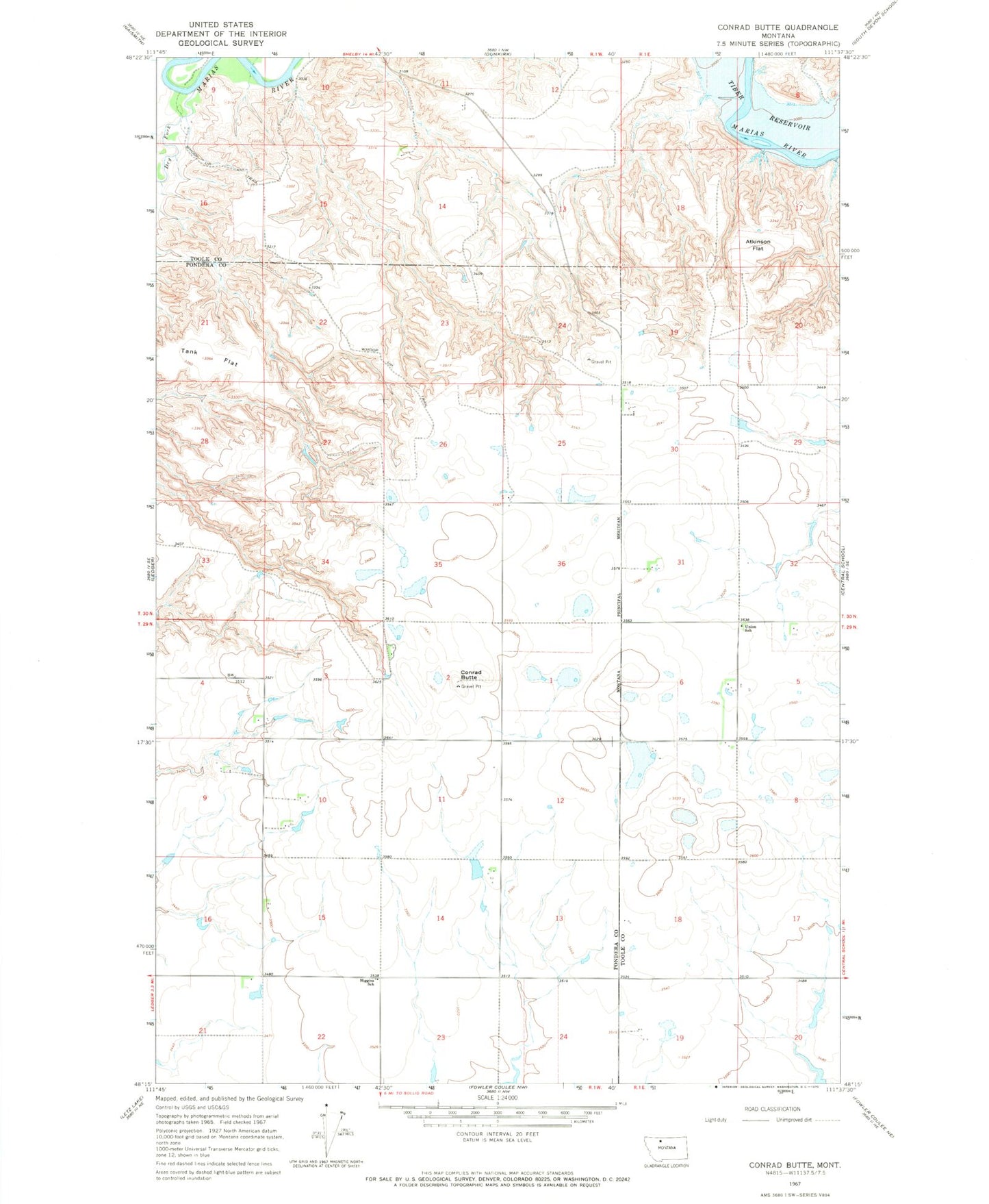
Classic USGS Conrad Butte Montana 7.5'x7.5' Topo Map
Regular price
$16.95
Regular price
Sale price
$16.95
Unit price
per
Couldn't load pickup availability
Historical USGS topographic quad map of Conrad Butte in the state of Montana. Map scale may vary for some years, but is generally around 1:24,000. Print size is approximately 24" x 27"
This quadrangle is in the following counties: Pondera, Toole.
The map contains contour lines, roads, rivers, towns, and lakes. Printed on high-quality waterproof paper with UV fade-resistant inks, and shipped rolled.
Contains the following named places: Atkinson Flat, Conrad Butte, Dry Fork Marias River, Fowl Mouth Dam, Higgins School, Jim Judisch Dam, Jim Judisch Reservoir, M Ratzburg Reservoir, Marias Hereford Ranch Number 30 Dam, Sruddy Dam, Tank Flat, Union School