
MyTopo
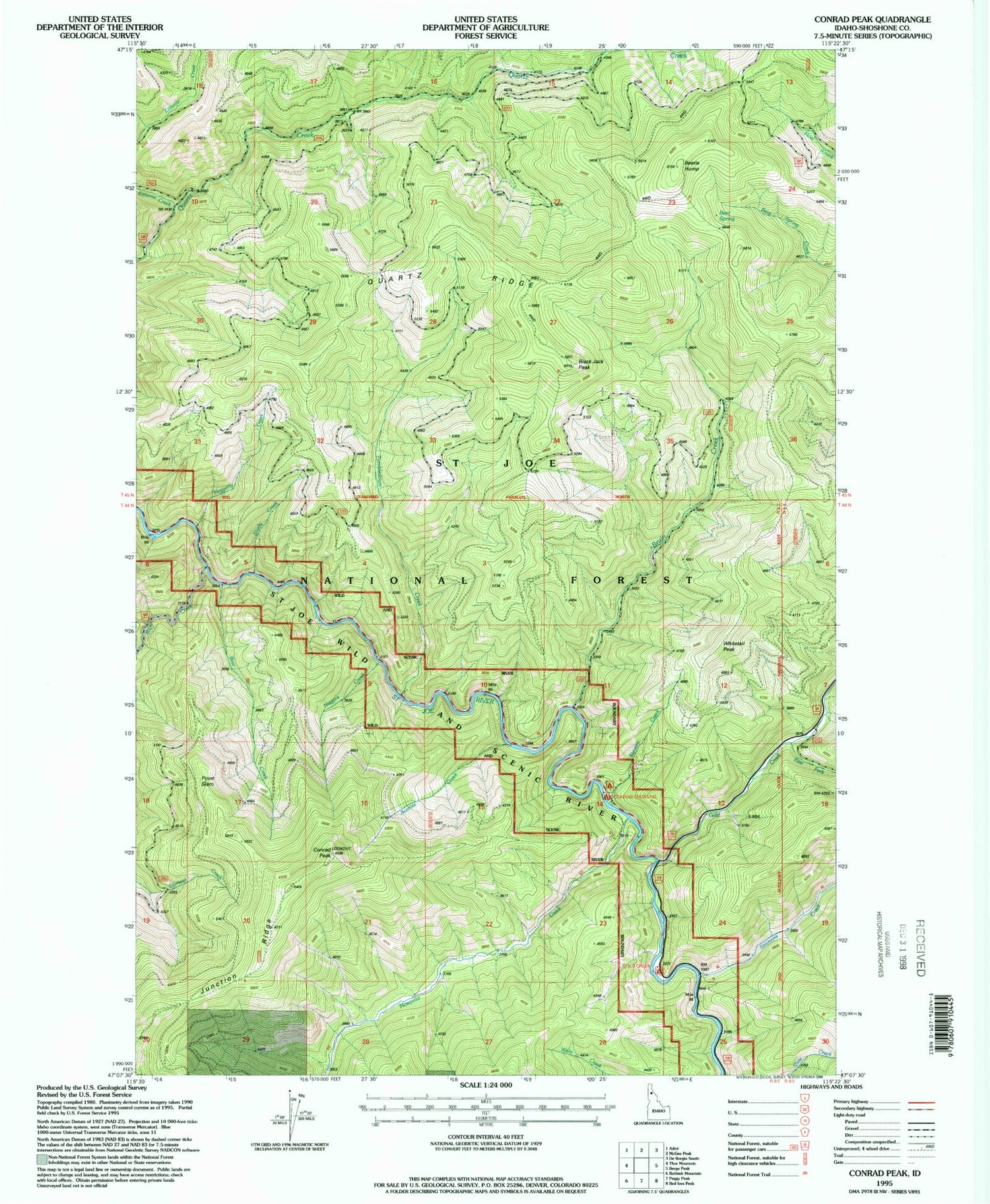
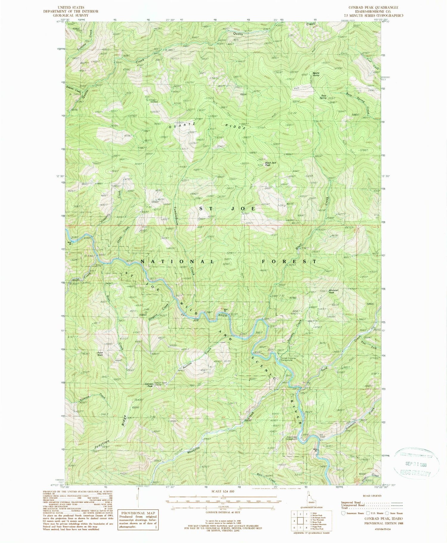
Classic USGS Conrad Peak Idaho 7.5'x7.5' Topo Map
Couldn't load pickup availability
Historical USGS topographic quad map of Conrad Peak in the state of Idaho. Map scale may vary for some years, but is generally around 1:24,000. Print size is approximately 24" x 27"
This quadrangle is in the following counties: Shoshone.
The map contains contour lines, roads, rivers, towns, and lakes. Printed on high-quality waterproof paper with UV fade-resistant inks, and shipped rolled.
Contains the following named places: Aconite Creek, Bear Creek, Bear Spring, Beetle Hump, Black Jack Peak, Bluff Creek, Bruin Creek, Conrad Crossing Campground, Conrad Peak, East Fork Gold Creek, Entente Creek, Gold Creek, Gold Creek Campground, Haggerty Creek, Junction Ridge, Lintz Campground, Mosquito Creek, Niagara Creek, Point Siam, Quartz Ridge, Saint Joe Quartz Mine, Shady Creek, Simmons Creek, Stevens Creek, Tumbledown Creek, Whitetail Peak


