MyTopo
Classic USGS Conroe NE Texas 7.5'x7.5' Topo Map
Couldn't load pickup availability
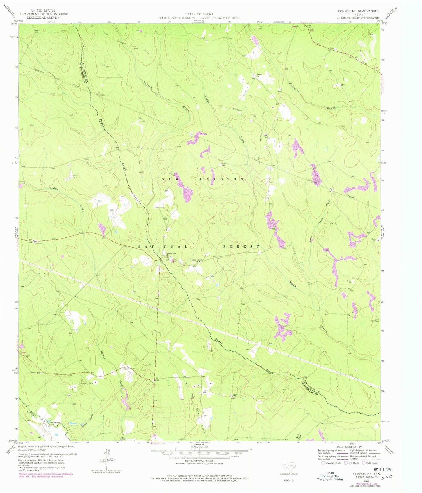
Historical USGS topographic quad map of Conroe NE in the state of Texas. Map scale may vary for some years, but is generally around 1:24,000. Print size is approximately 24" x 27"
This quadrangle is in the following counties: Montgomery, San Jacinto.
The map contains contour lines, roads, rivers, towns, and lakes. Printed on high-quality waterproof paper with UV fade-resistant inks, and shipped rolled.
Contains the following named places: Andrews Lake, Andrews Lake Dam, China Grove Church, County Line Church, Hickory Grove Cemetery, Little Caney Creek, McRae Dam, McRae Lake, Nebletts Hunter Camp, North Montgomery County Fire Department Station 93, Outlaw Flyers Airport, Salem Church, Steep Hollow, Turkey Creek, ZIP Code: 77378