
MyTopo
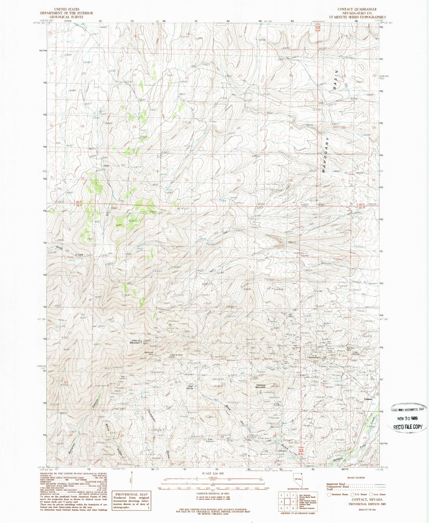
Classic USGS Contact Nevada 7.5'x7.5' Topo Map
Couldn't load pickup availability
Historical USGS topographic quad map of Contact in the state of Nevada. Map scale may vary for some years, but is generally around 1:24,000. Print size is approximately 24" x 27"
This quadrangle is in the following counties: Elko.
The map contains contour lines, roads, rivers, towns, and lakes. Printed on high-quality waterproof paper with UV fade-resistant inks, and shipped rolled.
Contains the following named places: Antelope Mine, Bear Spring, Bellevue Mine, Blue Bird Mine, Bonanza Mine, Brooklyn Mine, Contact, Contact Post Office, Contact School, Copper King Mine, Copper Shield Mine, Cottonwood Field, Delano Mine, Ellen D Mountain, Jackpot Township, Mahogany Basin, Mammoth Mine, Marshall Mine, Nevada Bellevue Mine, Palo Alto Mine, Salmon River Range, Silver Circle Mine, Tabletop Mountain


