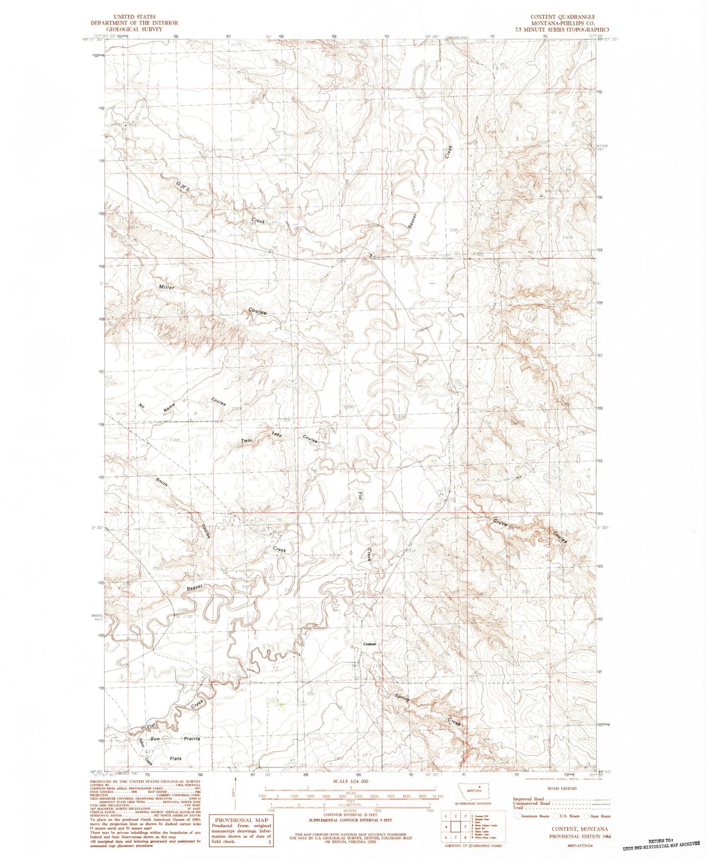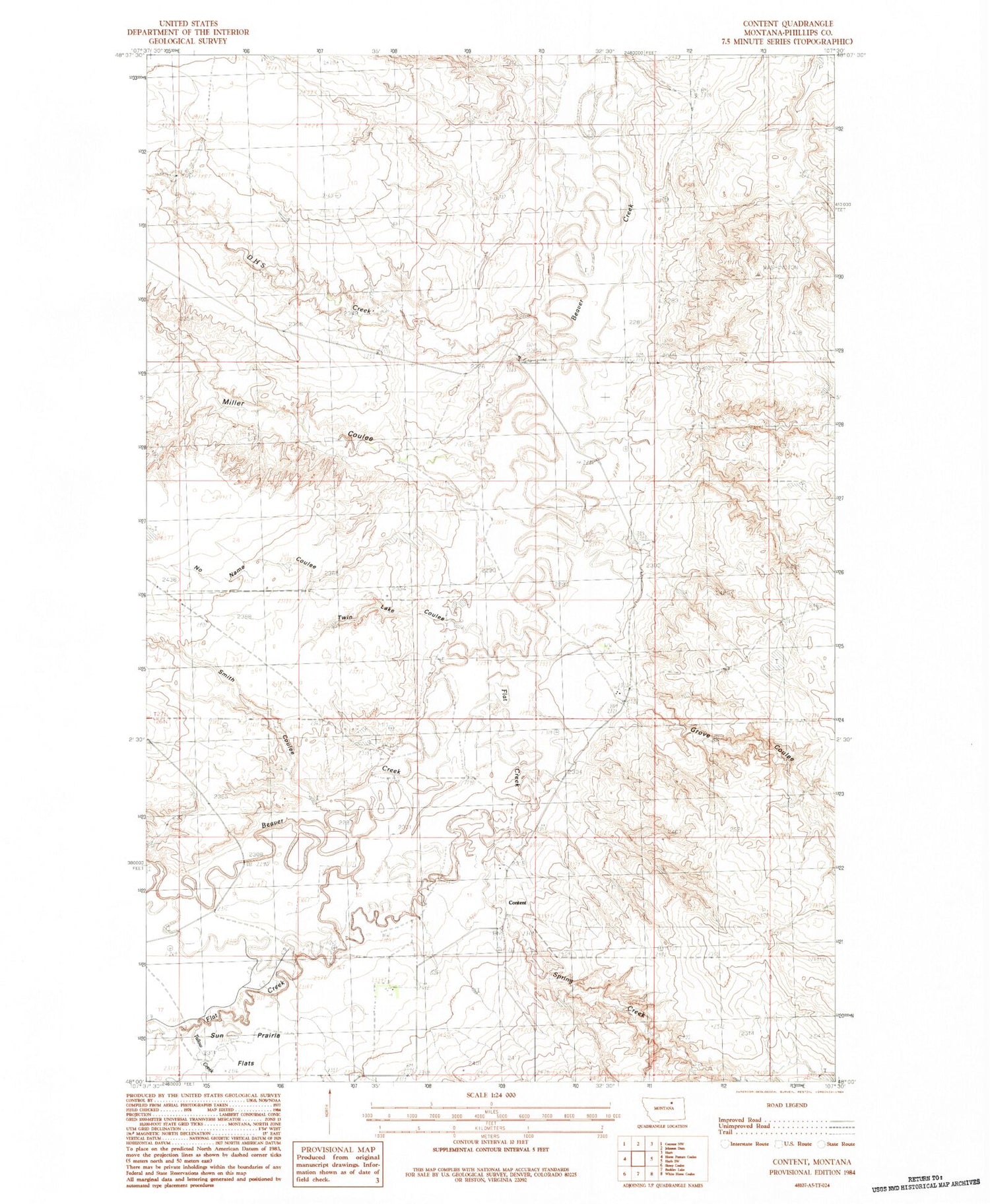
MyTopo
Classic USGS Content Montana 7.5'x7.5' Topo Map
Couldn't load pickup availability
Historical USGS topographic quad map of Content in the state of Montana. Map scale may vary for some years, but is generally around 1:24,000. Print size is approximately 24" x 27"
This quadrangle is in the following counties: Phillips.
The map contains contour lines, roads, rivers, towns, and lakes. Printed on high-quality waterproof paper with UV fade-resistant inks, and shipped rolled.
Contains the following named places: 26N32E08AA__01 Well, 26N32E15AA__01 Well, 26N32E16B___01 Well, 27N32E22CA__01 Well, 27N32E36DC__01 Well, Albert Coulee, Content, Content Post Office, D H S Creek, Flat Creek, Grove Coulee, Miller Coulee, No Name Coulee, Row Dam, Smith Coulee, Spring Creek, Tallow Creek, Trueblood Coulee, Twin Lake Coulee