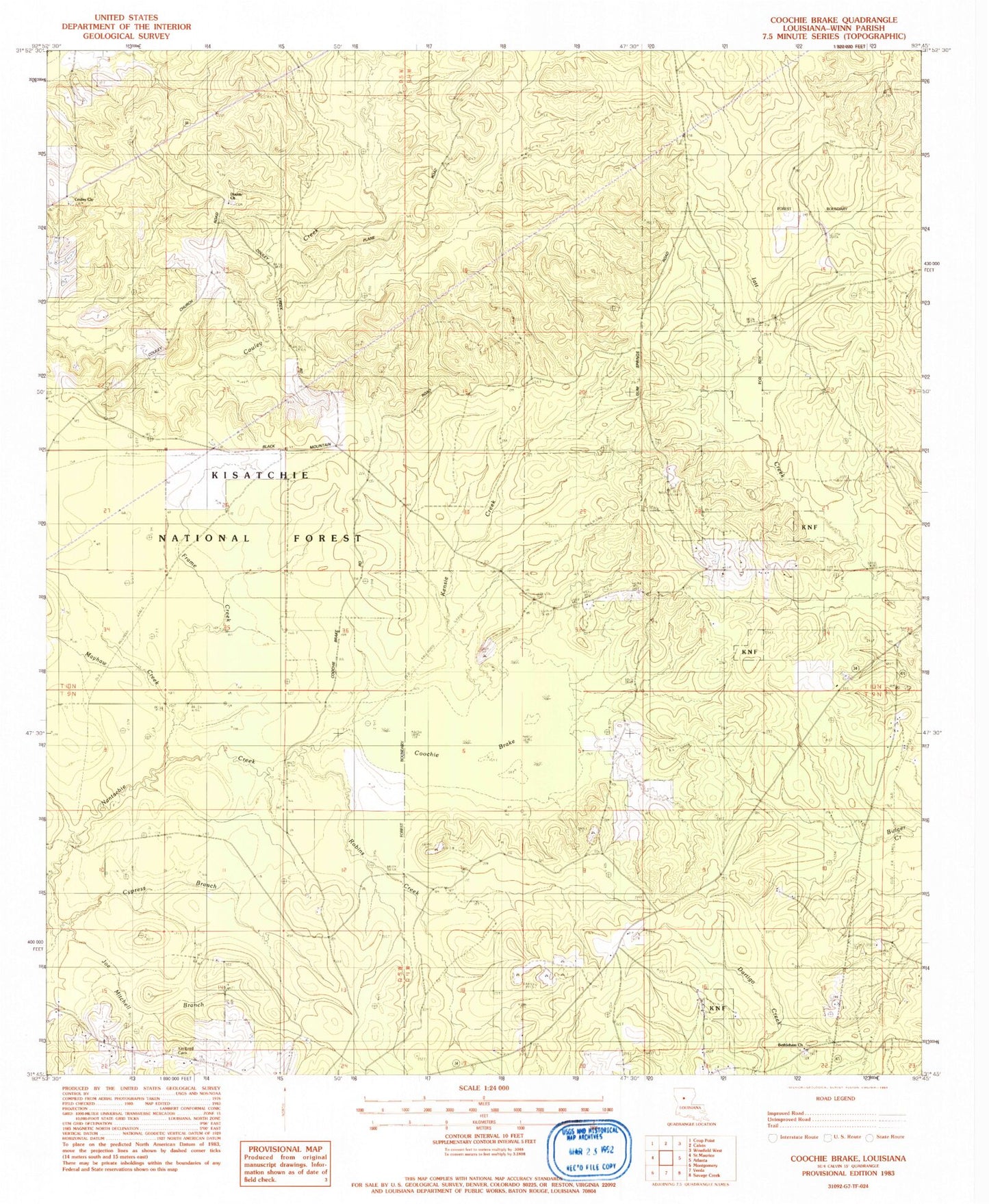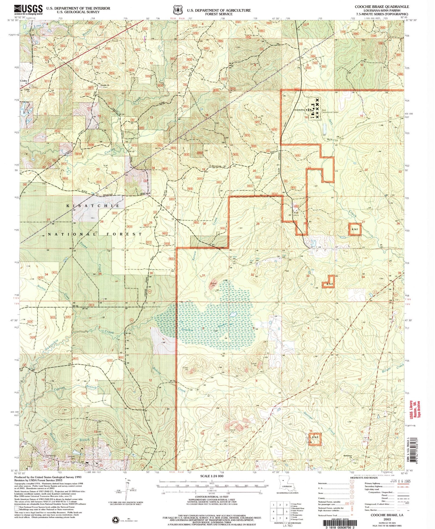
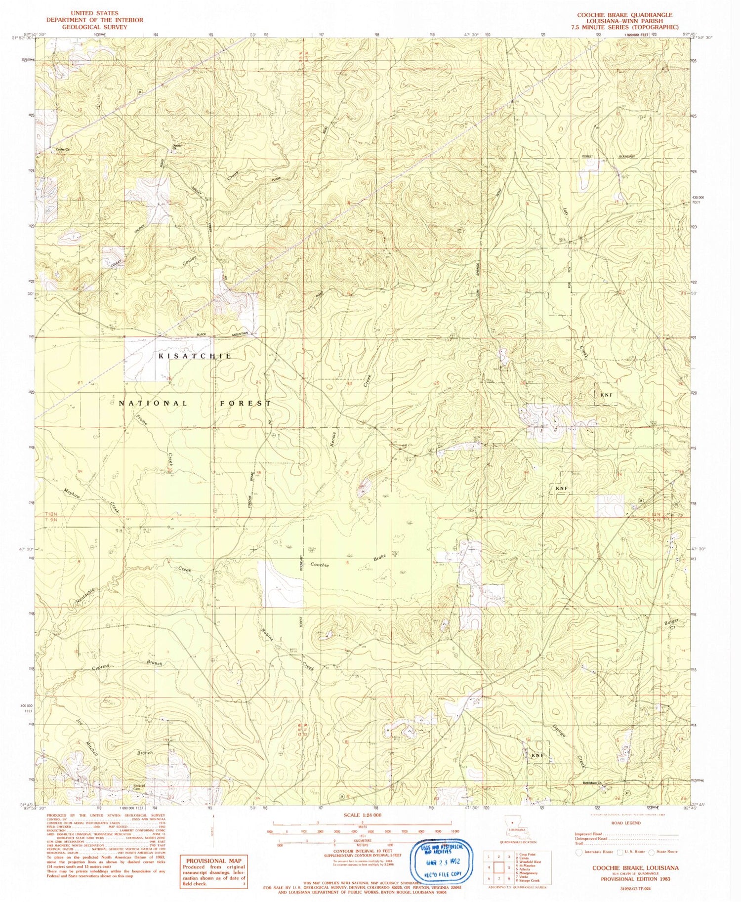
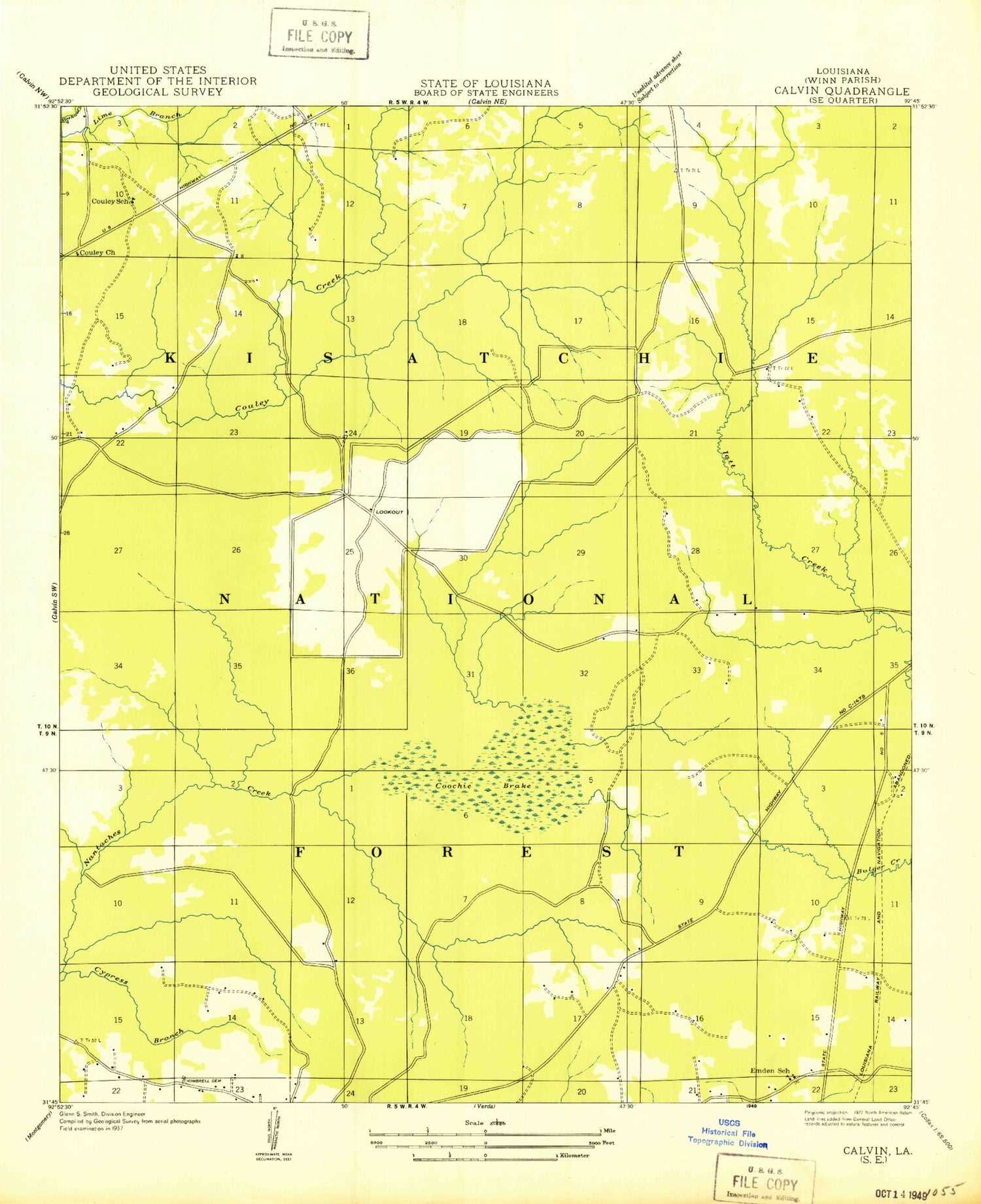
MyTopo
Classic USGS Coochie Brake Louisiana 7.5'x7.5' Topo Map
Couldn't load pickup availability
Historical USGS topographic quad map of Coochie Brake in the state of Louisiana. Map scale may vary for some years, but is generally around 1:24,000. Print size is approximately 24" x 27"
This quadrangle is in the following counties: Winn.
The map contains contour lines, roads, rivers, towns, and lakes. Printed on high-quality waterproof paper with UV fade-resistant inks, and shipped rolled.
Contains the following named places: Bethlehem Church, Coochie Brake, Couley, Couley Church, Couley School, Cypress Branch, Double Church, Emden School, Frame Creek, Gravel Creek, Joe Mitchell Branch, Kensie Creek, Kimbrell Cemetery, Mayhaw Creek, Parish Governing Authority District 1, Parish Governing Authority District 8, Robins Creek, Winn Correctional Center, Winn Correctional Center School