MyTopo
Classic USGS Cook Creek Butte Montana 7.5'x7.5' Topo Map
Couldn't load pickup availability
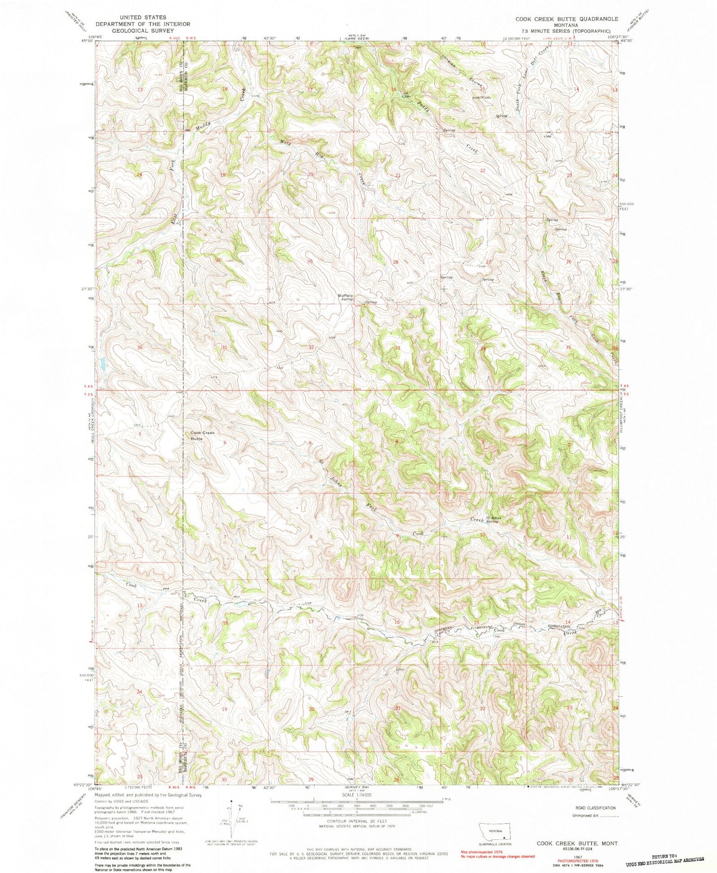
Historical USGS topographic quad map of Cook Creek Butte in the state of Montana. Map scale may vary for some years, but is generally around 1:24,000. Print size is approximately 24" x 27"
This quadrangle is in the following counties: Big Horn, Rosebud.
The map contains contour lines, roads, rivers, towns, and lakes. Printed on high-quality waterproof paper with UV fade-resistant inks, and shipped rolled.
Contains the following named places: 05N41E28ABCC01 Spring, 05S41E07CCDA01 Spring, 05S41E10ACBC01 Spring, 05S41E15CBDA01 Spring, 05S41E16CDDD01 Spring, 05S41E17ADCD01 Spring, 05S41E18BBC_01 Well, 05S41E18BBCD01 Spring, 05S41E18CBCD01 Spring, 05S41E20DDDB01 Well, 05S41E21BBCC01 Spring, 05S41E21CAA_01 Well, 05S41E21CAAA01 Spring, 05S41E21DABB01 Spring, 05S41E22DCDC01 Spring, 05S41E23BAAC01 Spring, 05S41E23DBAA01 Spring, 05S41E26ABA_01 Well, 05S41E26ABAC01 Spring, 05S41E27ABBC01 Spring, 05S41E27BABD01 Spring, 05S41E28ABC_01 Well, Buffalo Jump, Cook Creek Butte, Muddy School, Saint Johns Spring, Wild Hog Creek