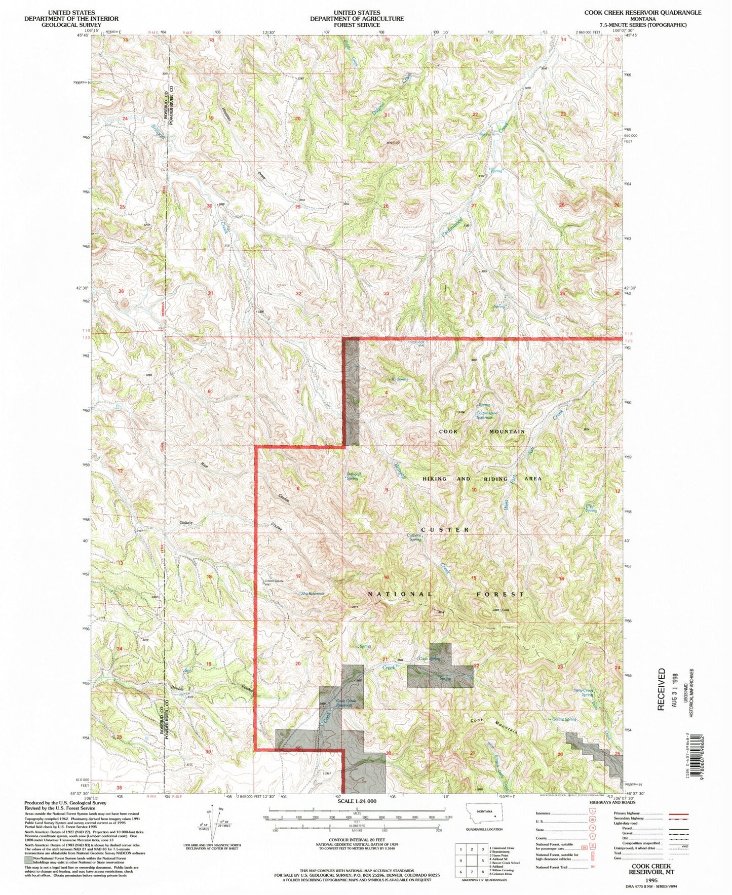
MyTopo
Classic USGS Cook Creek Reservoir Montana 7.5'x7.5' Topo Map
Couldn't load pickup availability
Historical USGS topographic quad map of Cook Creek Reservoir in the state of Montana. Map scale may vary for some years, but is generally around 1:24,000. Print size is approximately 24" x 27"
This quadrangle is in the following counties: Powder River, Rosebud.
The map contains contour lines, roads, rivers, towns, and lakes. Printed on high-quality waterproof paper with UV fade-resistant inks, and shipped rolled.
Contains the following named places: 02S45E04AAAA01 Well, 02S45E17CBBD01 Well, 02S45E22CBBD01 Spring, 02S45E29BAAB01 Well, 04S45E08DDAD01 Well, Bringoff Spring, Cliff Spring, Colbert Coulee Well, Cook Creek Reservoir, Cook Mountain, Cook Spring, Cottonwood Reservoir, Cottonwood Well, Cutbank Spring, Daily Creek Spring, Gentry Spring, J O Spring, Shy Reservoir