MyTopo
Classic USGS Cooktown Georgia 7.5'x7.5' Topo Map
Couldn't load pickup availability
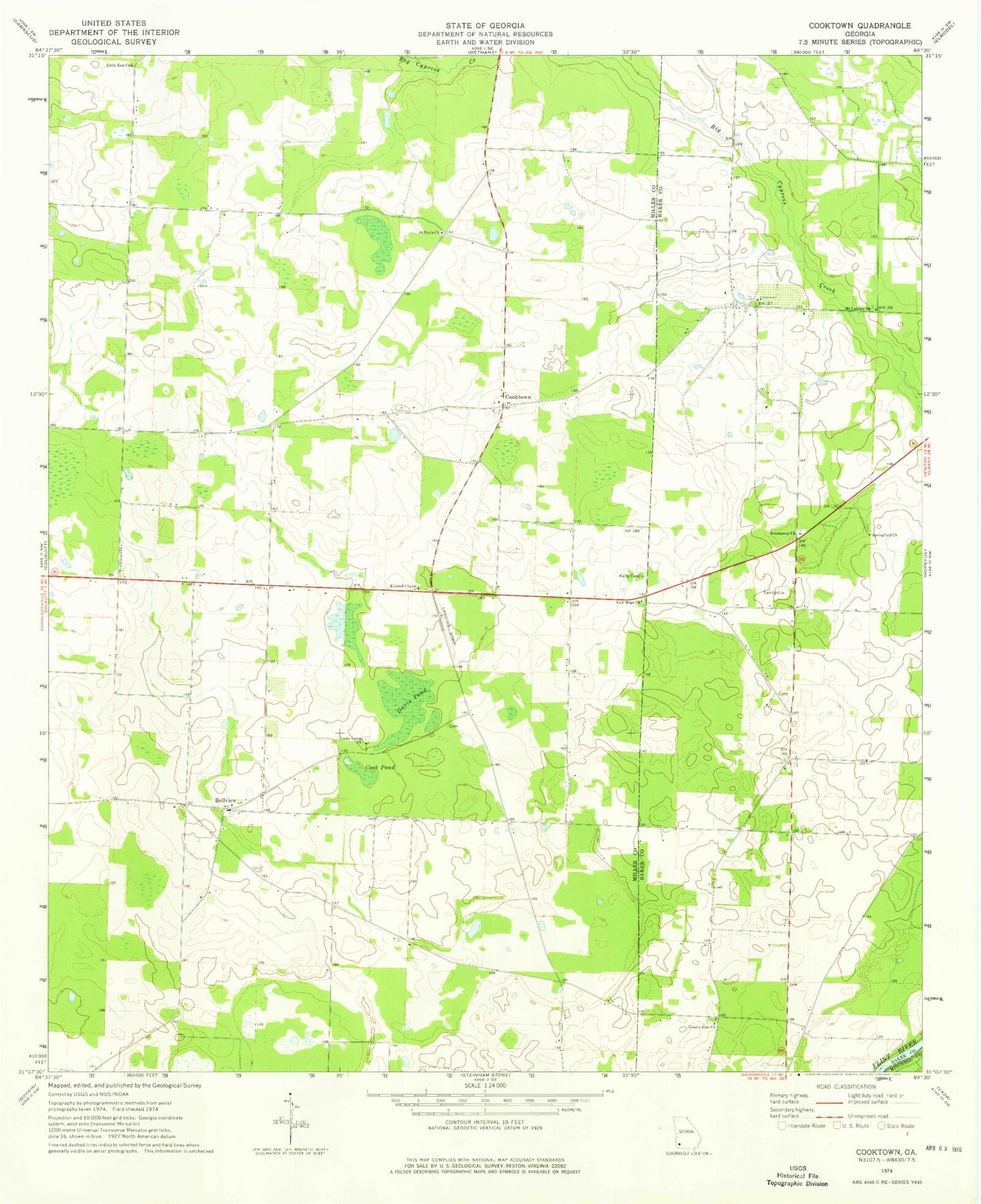
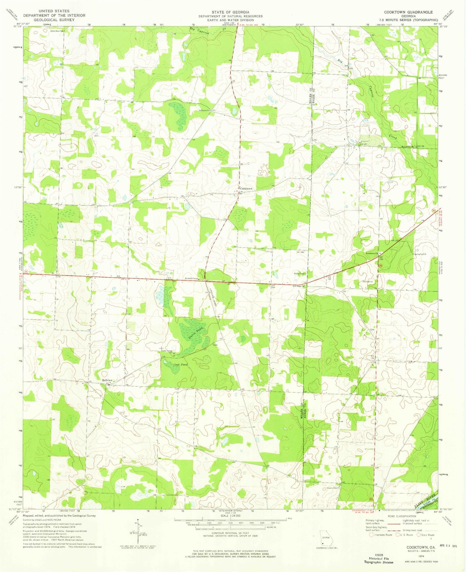
Historical USGS topographic quad map of Cooktown in the state of Georgia. Map scale may vary for some years, but is generally around 1:24,000. Print size is approximately 24" x 27"
This quadrangle is in the following counties: Baker, Miller, Mitchell.
The map contains contour lines, roads, rivers, towns, and lakes. Printed on high-quality waterproof paper with UV fade-resistant inks, and shipped rolled.
Contains the following named places: Bellview, Bellview Cemetery, Bellview Division, Bellview Freewill Baptist Church, Big Pond, Cheevertown, Colquitt Mennonite Church Cemetery, Cook Pond, Cooks Union Church, Cooks Union United Methodist Cemetery, Cooktown, County Line Church, Davis Cemetery, Davis Pond, Kelley Cemetery, Kimbell Chapel, Little Zion Church, New Hope Church, Newberry Cemetery, Notchaway Baptist Church, Notchaway Baptist Church Cemetery, Saint Pauls Church, Springfield Church, Widners School, WJAD-FM (Bainbridge)