MyTopo
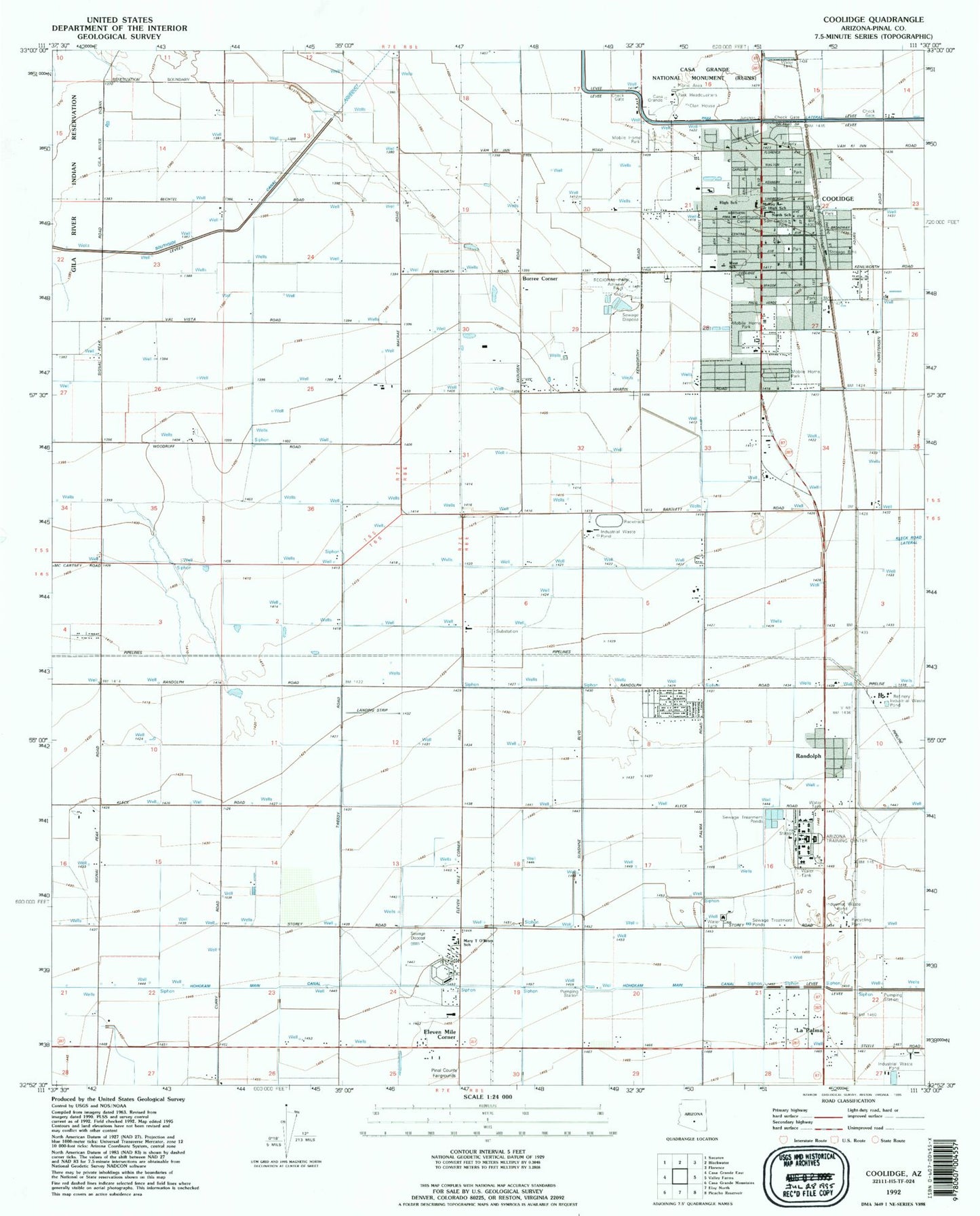
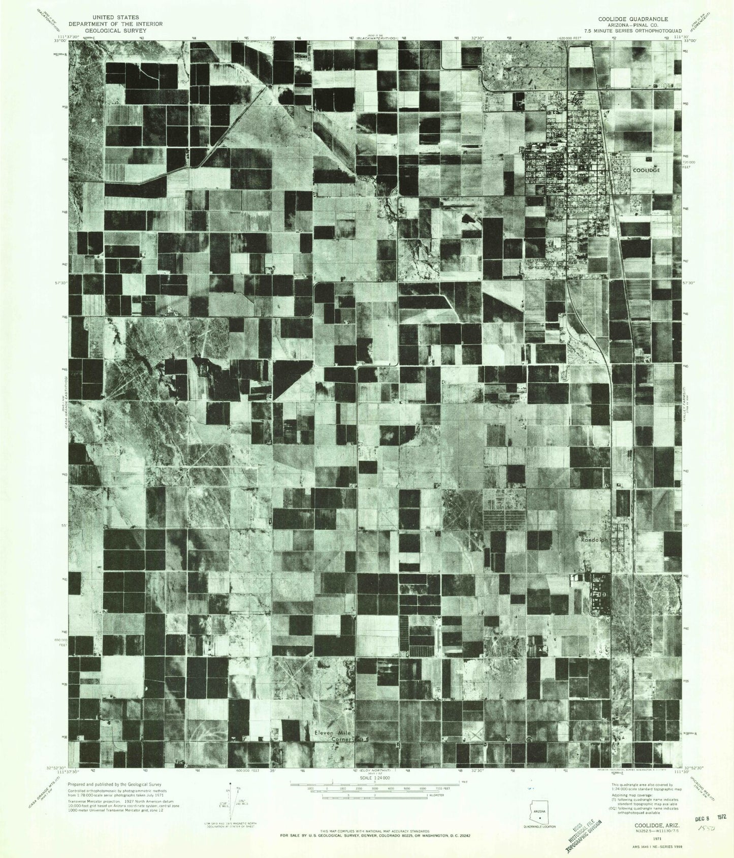
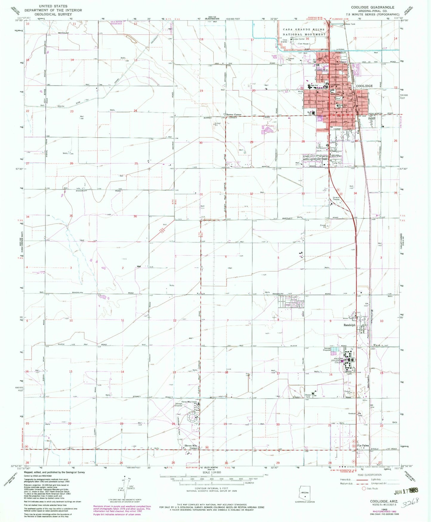
Classic USGS Coolidge Arizona 7.5'x7.5' Topo Map
Couldn't load pickup availability
Historical USGS topographic quad map of Coolidge in the state of Arizona. Map scale may vary for some years, but is generally around 1:24,000. Print size is approximately 24" x 27"
This quadrangle is in the following counties: Pinal.
The map contains contour lines, roads, rivers, towns, and lakes. Printed on high-quality waterproof paper with UV fade-resistant inks, and shipped rolled.
Contains the following named places: Arizona Childrens Colony, Borree Corner, Bureau of Indian Affairs Coolidge Office, Casa Grande, Casa Grande Ruins National Monument, Casa Grande Ruins National Monument Visitors Center, Central Arizona College Coolidge Center, Christ Lutheran Church, Church of Christ, Church of God, City of Coolidge, Clan House 1, Coolidge, Coolidge 9th Grade Academy, Coolidge Alternative Program School, Coolidge City Hall, Coolidge Community Center, Coolidge Division, Coolidge Fire Department Station 1, Coolidge Fire Department Station 2, Coolidge High School, Coolidge Police Department, Coolidge Post Office, Coolidge Presbyterian Church, Coolidge Public Library, Coolidge Railroad Station, Coolidge Square Shopping Center, Coolidge Valley Community Fellowship Church of the Nazarene, East Park, Eleven Mile Corner, First Assembly of God, First Baptist Church, First Christian Church, Heartland Ranch Elementary School, Imagine Elementary School at Coolidge, Indian Assembly of God, Indian Skies Recreational Vehicle Resort, Kingdom Hall of Jehovahs Witnesses, La Palma, Mary O'Brien Elementary School, McClellan Wash, New Beginning Bible Church, New Hope Community Church of God, North Park, North School, Pima Lateral, Pinal County Health Department Coolidge Clinic, Randolph, Randolph Railroad Station, Saint James Catholic Church, Saint Michael's Episcopal Church, San Carlos Park, South School, South Side Canal, Spirit of Joy United Methodist Church, The Church of Jesus Christ of Latter Day Saints, Trinity Baptist Church, West Elementary School, West Park, ZIP Code: 85128


