MyTopo
Classic USGS Coolspring Pennsylvania 7.5'x7.5' Topo Map
Couldn't load pickup availability
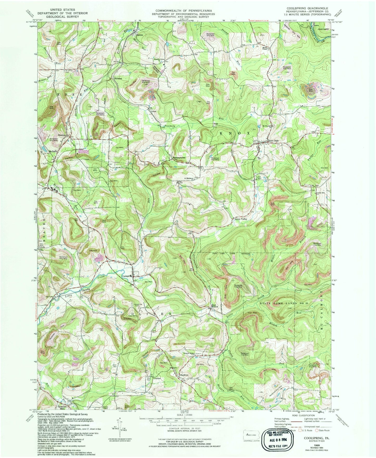
Historical USGS topographic quad map of Coolspring in the state of Pennsylvania. Typical map scale is 1:24,000, but may vary for certain years, if available. Print size: 24" x 27"
This quadrangle is in the following counties: Jefferson.
The map contains contour lines, roads, rivers, towns, and lakes. Printed on high-quality waterproof paper with UV fade-resistant inks, and shipped rolled.
Contains the following named places: Barnes, Barton Chapel, Burkett Hollow Church, Center Hill Church, Cliff Church, Clutch Run, Coolspring, Coolspring Cemetery, Green Valley, Hadden Run, Hickok Run, Hunters Grove Church, Hunts Run, Indiancamp Run, Knox Dale, Lick Run, Markton, McGarey, Meade Chapel, Middle Branch Little Sandy Creek, Mount Pleasant Church, Pine Valley Church, Ramsaytown, Saint Johns Cemetery, Saint Matthews Church, Smathers Run, Sprankle Mills, Stanton, State Game Lands Number 31, WMKX-FM (Brookville), McAninch School, Pleasant Hill School, Burkett Hollow School, Laurel Ridge School (historical), Smith School (historical), Beech Hollow School, Pawner School, Center Hill School, Millen School, Colon, Coulter, Norman, Tait, Iowa, East Branch, Township of Knox, Township of Oliver, Knox Township Volunteer Fire Department Station 13, Oliver Township Volunteer Fire Company Station 5, Knox Dale Post Office, Markton Cemetery, Meade Chapel Cemetery, Ramsaytown United Methodist Cemetery, Knoxdale Mount Pleasant Cemetery, Barton Chapel Cemetery, Burkett Hollow Cemetery, Cliff United Methodist Church Cemetery, Beaver Run Cemetery, Saint Matthews Evangelical Lutheran Cemetery, Center Hill Cemetery, Saint Pauls Lutheran Cemetery


