MyTopo
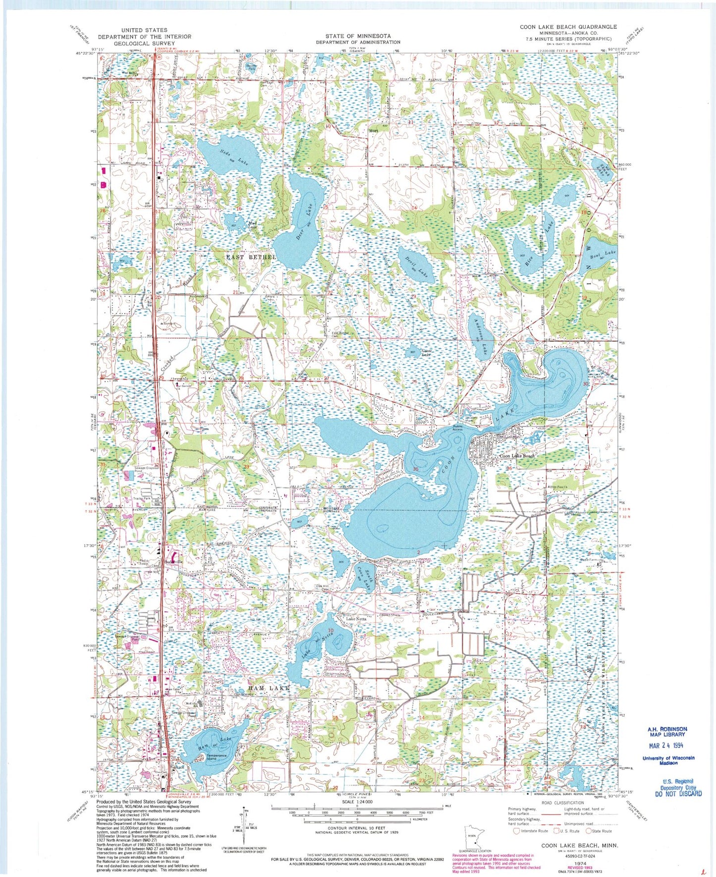
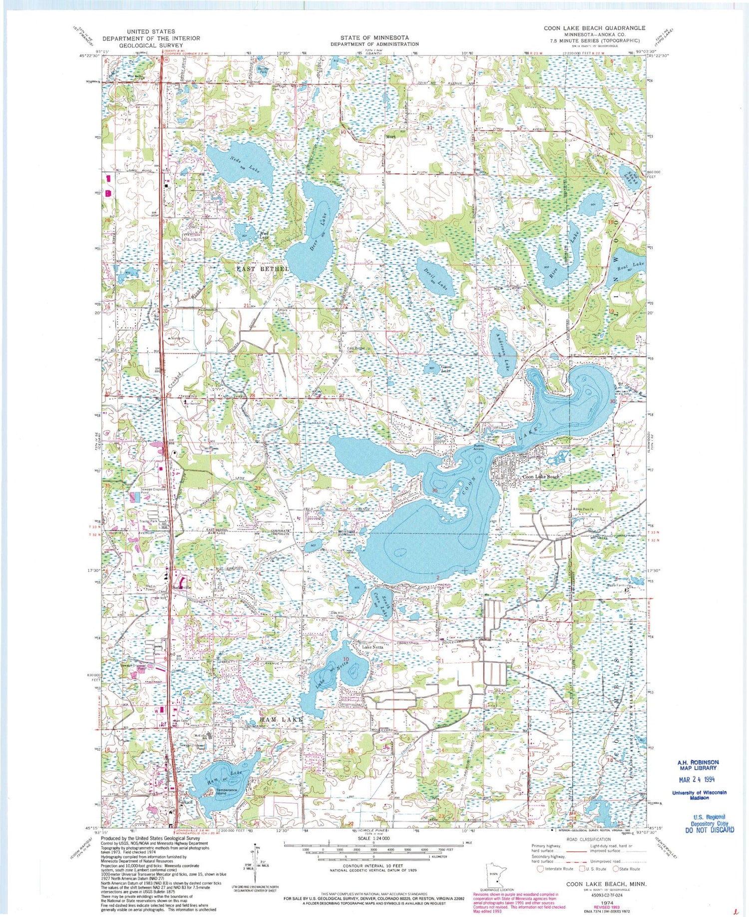
Classic USGS Coon Lake Beach Minnesota 7.5'x7.5' Topo Map
Couldn't load pickup availability
Historical USGS topographic quad map of Coon Lake Beach in the state of Minnesota. Map scale may vary for some years, but is generally around 1:24,000. Print size is approximately 24" x 27"
This quadrangle is in the following counties: Anoka.
The map contains contour lines, roads, rivers, towns, and lakes. Printed on high-quality waterproof paper with UV fade-resistant inks, and shipped rolled.
Contains the following named places: Anderson Lake, Anoka County, Booster Park, Boot Lake, Cedar Creek Community School, Cedar Post Office, City of East Bethel, City of Ham Lake, Coon Lake, Coon Lake Beach, County Ditch Number Eleven, County Ditch Number Fiftyeight, County Ditch Number Fiftysix, County Ditch Number Sixteen, County Ditch Number Thirteen, County Ditch Number Thirtyeight, County Ditch Number Twelve, Crosstown Mall Shopping Center, Deer Lake, Devil Lake, East Bethel, East Bethel Cemetery, East Bethel Community School, East Bethel Fire Department Station 1, East Bethel Fire Department Station 2, East Bethel Fire Department Station 3, Glen Cary Church, Goose Lake, Ham Lake, Ham Lake Church, Ham Lake City Hall, Ham Lake Fire Department Station 1, Ham Lake Fire Department Station 2, Harry-Walt Airport, Hope Free Church, Horizons Community Church, Lake Netta, Lakenetta Post Office, Maynard Peterson Memorial Park, McKinley Elementary School, Mort, Mort Post Office, Mud Lake, Neds Lake, Oak Hill Cemetery, Oak Leaf Cemetery, Our Saviour Church, Our Saviours Lutheran Cemetery, Rice Lake, Skunk Lake, Soderville, Soderville Cemetery, South Coon Lake, Temperance Island, Thielen Park, Township of East Bethel, Township of Ham Lake, West Bethel Church


