
MyTopo
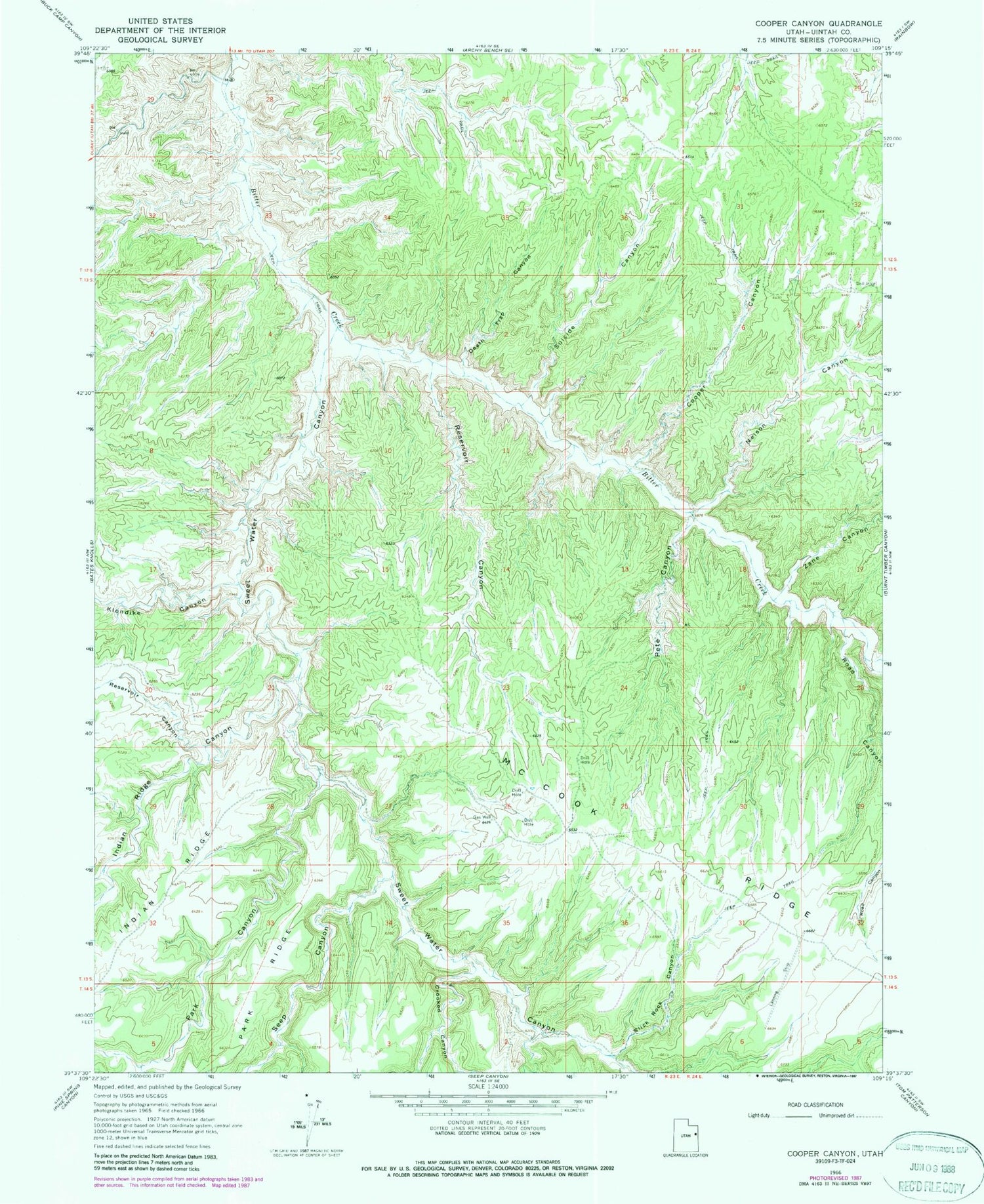
Classic USGS Cooper Canyon Utah 7.5'x7.5' Topo Map
Regular price
$16.95
Regular price
Sale price
$16.95
Unit price
per
Couldn't load pickup availability
Historical USGS topographic quad map of Cooper Canyon in the state of Utah. Map scale may vary for some years, but is generally around 1:24,000. Print size is approximately 24" x 27"
This quadrangle is in the following counties: Uintah.
The map contains contour lines, roads, rivers, towns, and lakes. Printed on high-quality waterproof paper with UV fade-resistant inks, and shipped rolled.
Contains the following named places: Bally Buck Canyon, Cooper Canyon, Crooked Canyon, Death Trap Canyon, Indian Ridge Canyon, Klondike Canyon, Little Monument Canyon, Nelson Canyon, Park Canyon, Pete Canyon, Reservoir Canyon, Road Canyon, Seep Canyon, Slick Rock Canyon, Suicide Canyon, Sweet Water Canyon, Zane Canyon


