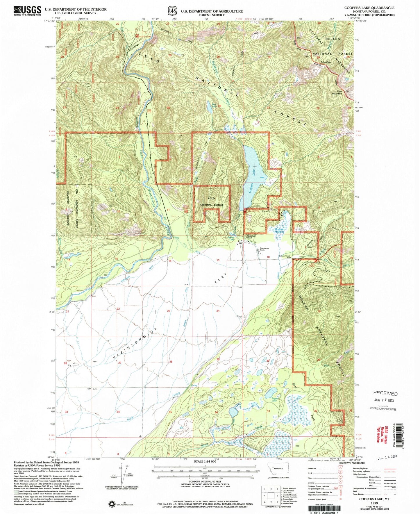
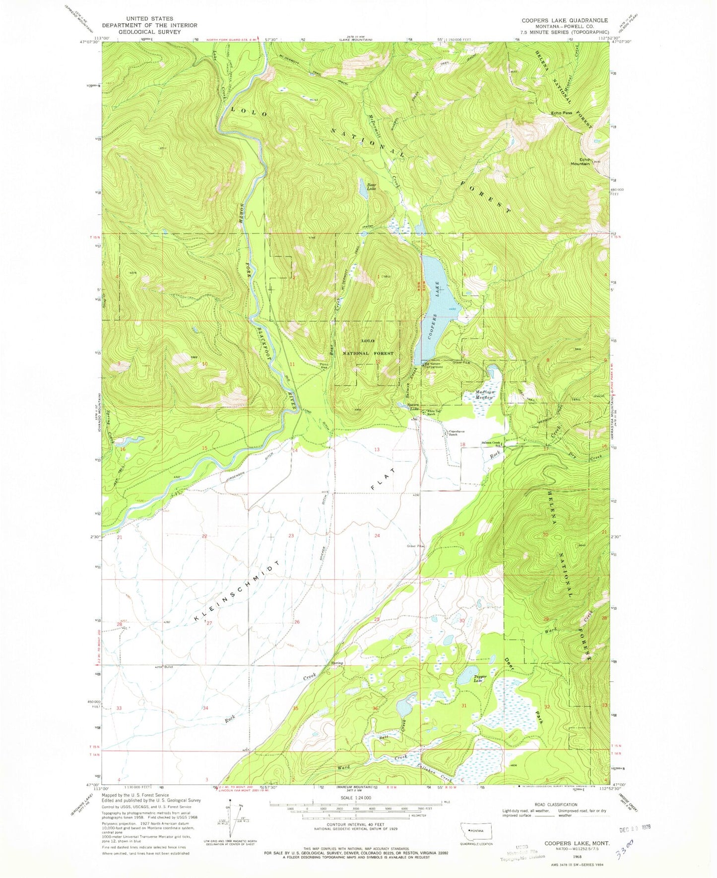
MyTopo
Classic USGS Coopers Lake Montana 7.5'x7.5' Topo Map
Couldn't load pickup availability
Historical USGS topographic quad map of Coopers Lake in the state of Montana. Map scale may vary for some years, but is generally around 1:24,000. Print size is approximately 24" x 27"
This quadrangle is in the following counties: Powell.
The map contains contour lines, roads, rivers, towns, and lakes. Printed on high-quality waterproof paper with UV fade-resistant inks, and shipped rolled.
Contains the following named places: 15N11W02BCBA01 Well, 15N11W02CBBD01 Well, 15N11W28DBBC01 Well, Bear Creek, Bear Lake, Big Nelson Campground, Bull Creek, Callahan Creek, Coopers Lake, Copenhaver Ranch, Day Creek Livestock Trail Head, Deer Park, Dry Creek, Echo Mountain, Echo Pass, Jorgenson Ditch, Kleinschmidt Flat, Lake Creek, Madison Meadow, McDermott Creek, Mineral Creek Trail, Old Lund Ditch, Salmon Creek, Salmon Creek School, Spawn Lake, Spieker Ditch, Tupper Lake, White Tail Ranch