MyTopo
Classic USGS Coopersville Michigan 7.5'x7.5' Topo Map
Couldn't load pickup availability
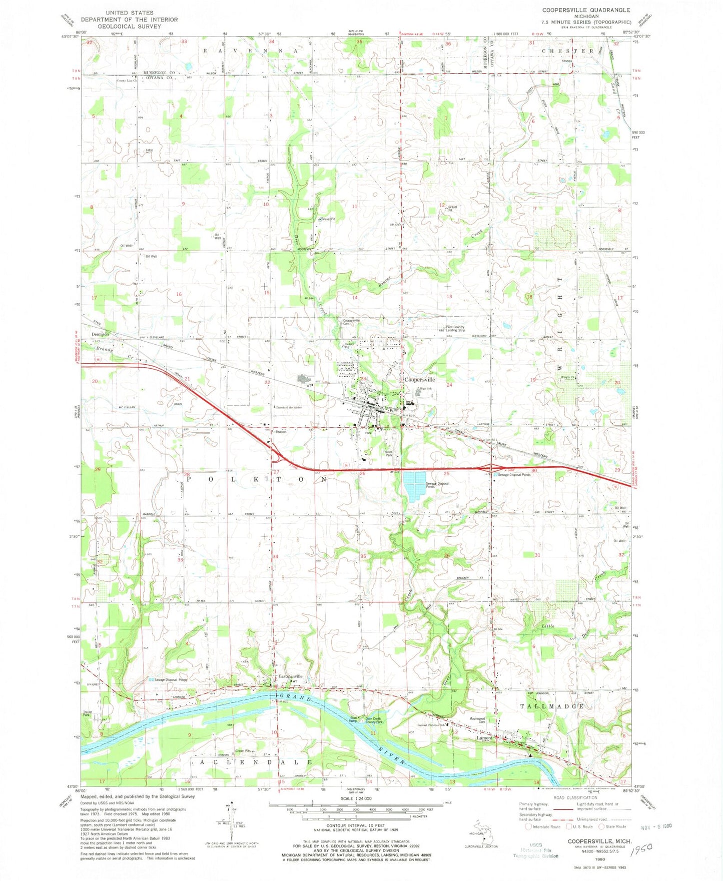
Historical USGS topographic quad map of Coopersville in the state of Michigan. Map scale may vary for some years, but is generally around 1:24,000. Print size is approximately 24" x 27"
This quadrangle is in the following counties: Muskegon, Ottawa.
The map contains contour lines, roads, rivers, towns, and lakes. Printed on high-quality waterproof paper with UV fade-resistant inks, and shipped rolled.
Contains the following named places: Beaver Creek, Boody School, Centennial School, Central Family Worship Center, Charter Township of Polkton, Church of the Savior, City of Coopersville, Coopersville, Coopersville - Polkton Cemetery, Coopersville - Polkton Fire Station, Coopersville Airport, Coopersville Bible Church, Coopersville Christian Church, Coopersville Church of Christ, Coopersville East Elementary School, Coopersville Farm Museum, Coopersville Fire Station, Coopersville High School, Coopersville Junior High School, Coopersville Police Department, Coopersville Post Office, Coopersville Reformed Church, Coopersville Sheriff's Office, Coopersville Station, Coopersville United Methodist Church, Coopersville West Elementary School, County Line Church, Deer Creek, Deer Creek County Park, Dennison, Dennison Post Office, Dennison Station, Eastmanville, Eastmanville Cemetery, Eastmanville Post Office, Eastmanville United Reformed Church, Elmwood Cemetery, Grace Lutheran Church, Grand Country Mobile Home Village, Grove Street Park, Interurban Depot Historical Marker, Jackson School, Lamont, Lamont Census Designated Place, Lamont Christian Reformed Church, Lamont Christian School, Lamont Post Office, Lillie School, Little Deer Creek, Main Street Park, Maple Hill Cemetery, Maplewood Cemetery, Marshall School, McDearmon School, N Evergreen School, Northeast Ottawa District Library, Randall Street Medical Clinic, Rankins School, Red School, Timberline Estates Mobile Home Park, Toothacre School, Veterans Park, WGVU-FM (Allendale), Wright Church, ZIP Code: 49404


