
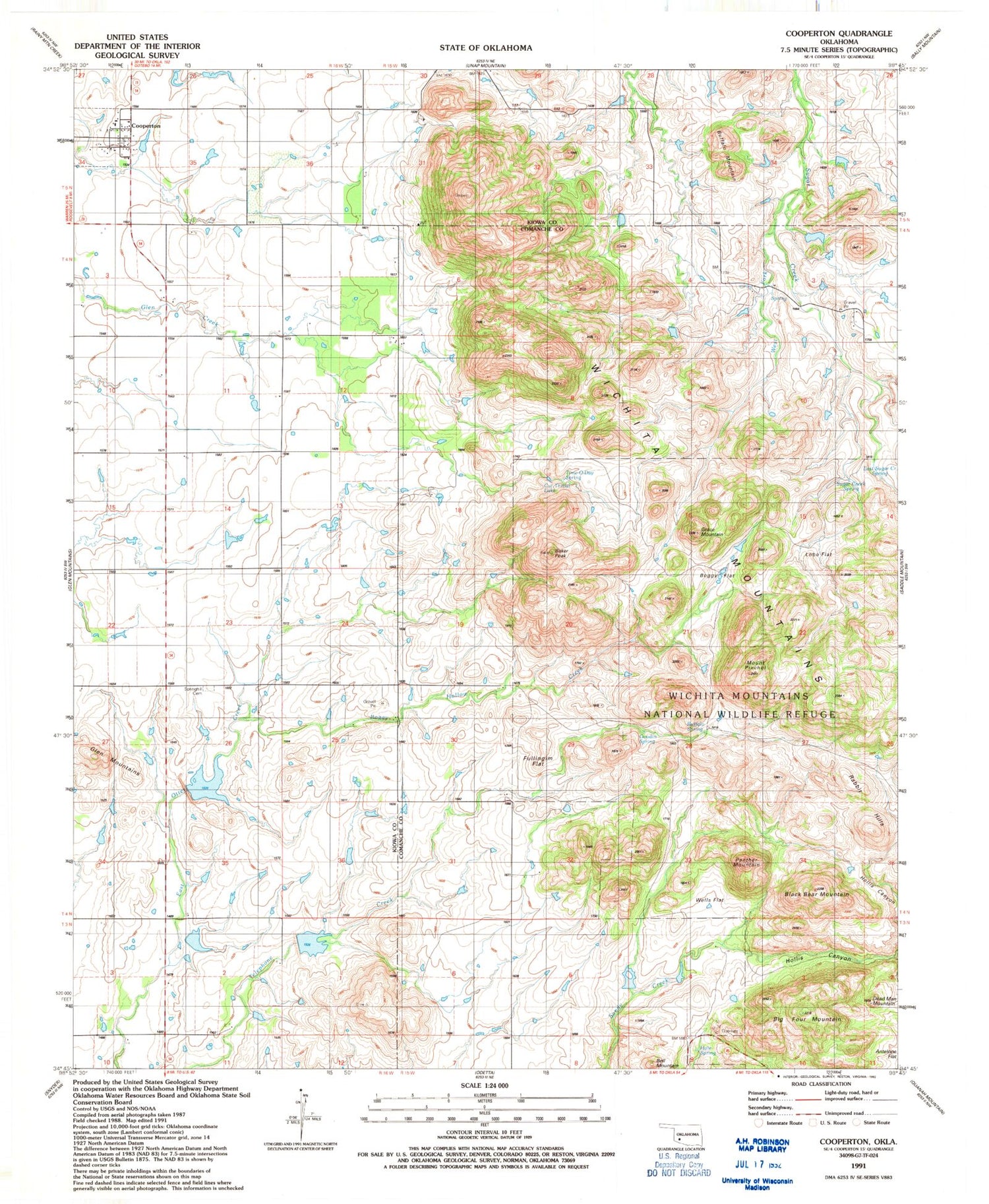
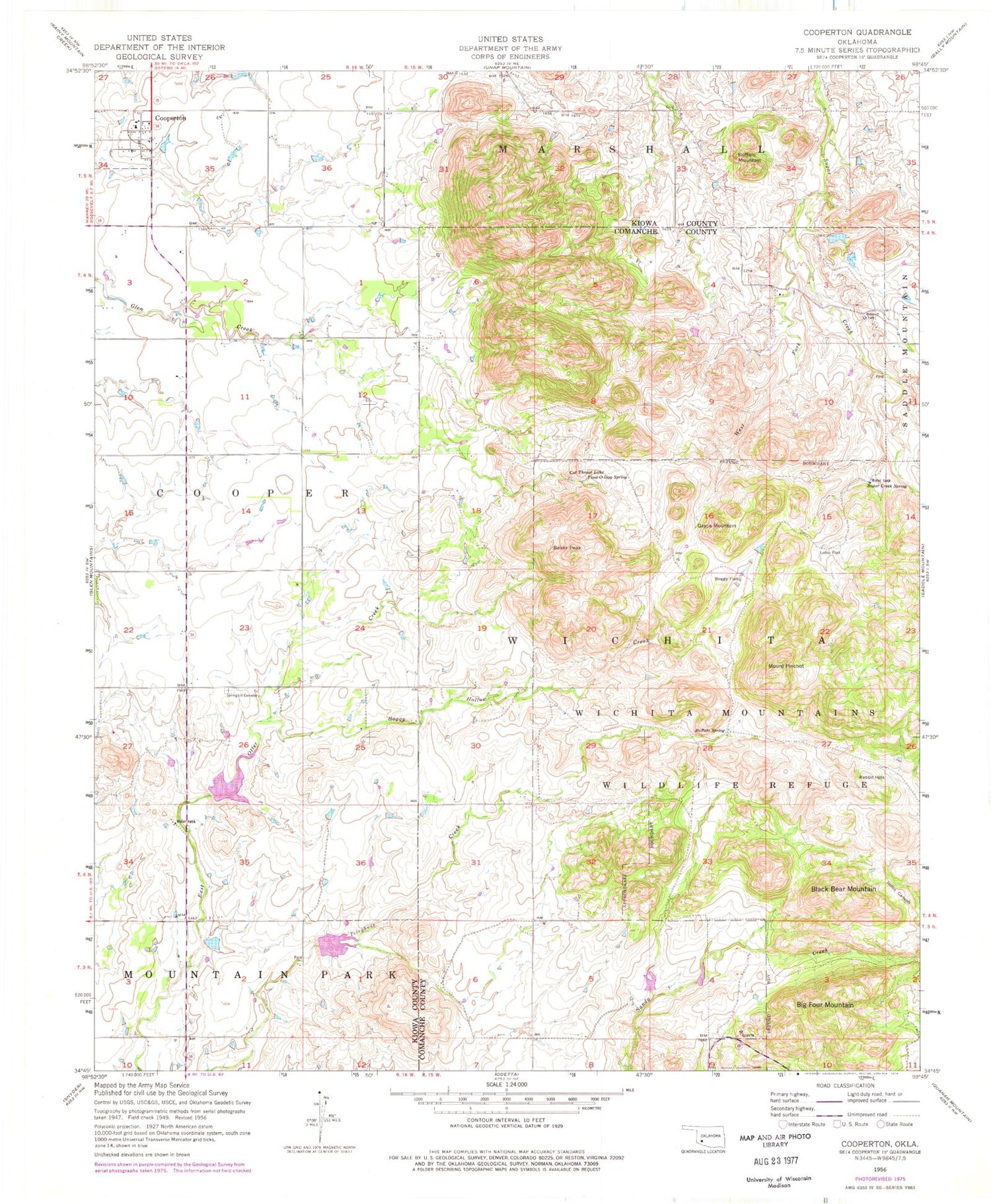
MyTopo
Classic USGS Cooperton Oklahoma 7.5'x7.5' Topo Map
Couldn't load pickup availability
Historical USGS topographic quad map of Cooperton in the state of Oklahoma. Map scale may vary for some years, but is generally around 1:24,000. Print size is approximately 24" x 27"
This quadrangle is in the following counties: Comanche, Kiowa.
The map contains contour lines, roads, rivers, towns, and lakes. Printed on high-quality waterproof paper with UV fade-resistant inks, and shipped rolled.
Contains the following named places: Baker Peak, Bell Mountain, Big Four Mountain, Black Bear Mountain, Boggy Flat, Boggy Hollow Creek, Buffalo Mountain, Buffalo Spring, Cooperton, Cooperton Volunteer Fire Department, Cut Throat Lake, Dead Man Mountain, East Sugar Creek Spring, Fullingim Flat, Goodin Spring, Grace Mountain, Hale Spring, Hollis Canyon, Lobo Flat, Mount Pinchot, Otter Creek Site 3 Dam, Otter Creek Site 3 Reservoir, Otter Creek Site 4 Dam, Otter Creek Site 4 Reservoir, Panther Mountain, Rabbit Hills, Springhill Cemetery, Sugar Creek Spring, Time-O-Day Spring, Township of Wichita, Wells Flat, Wells Flats, West Fork, West Sugar Creek


