
MyTopo
Classic USGS Copan Oklahoma 7.5'x7.5' Topo Map
Couldn't load pickup availability
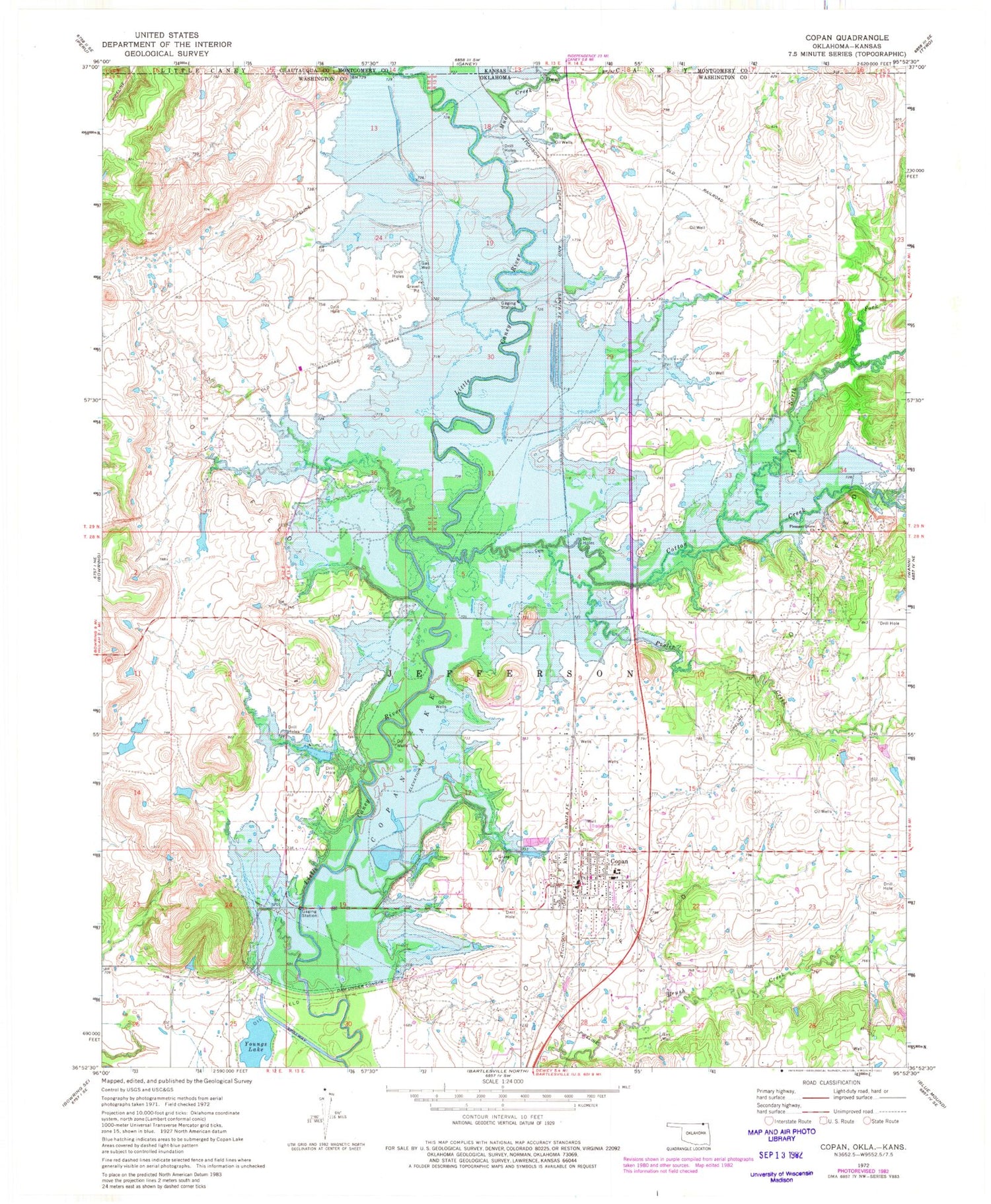
Historical USGS topographic quad map of Copan in the state of Oklahoma. Map scale may vary for some years, but is generally around 1:24,000. Print size is approximately 24" x 27"
This quadrangle is in the following counties: Chautauqua, Montgomery, Washington.
The map contains contour lines, roads, rivers, towns, and lakes. Printed on high-quality waterproof paper with UV fade-resistant inks, and shipped rolled.
Contains the following named places: Copan, Copan Division, Copan Elementary School, Copan High School, Copan Lake, Copan Lake Dam, Copan Post Office, Copan Volunteer Fire Department, Copan Wildlife Management Area, Cotton Creek, KEOJ - FM (Caney), Mud Creek, North Fork Cotton Creek, Owen, Pleasant Grove Church, Pooler Creek, Town of Copan, Township of Jefferson, Youngs Lake, ZIP Code: 74022


