MyTopo
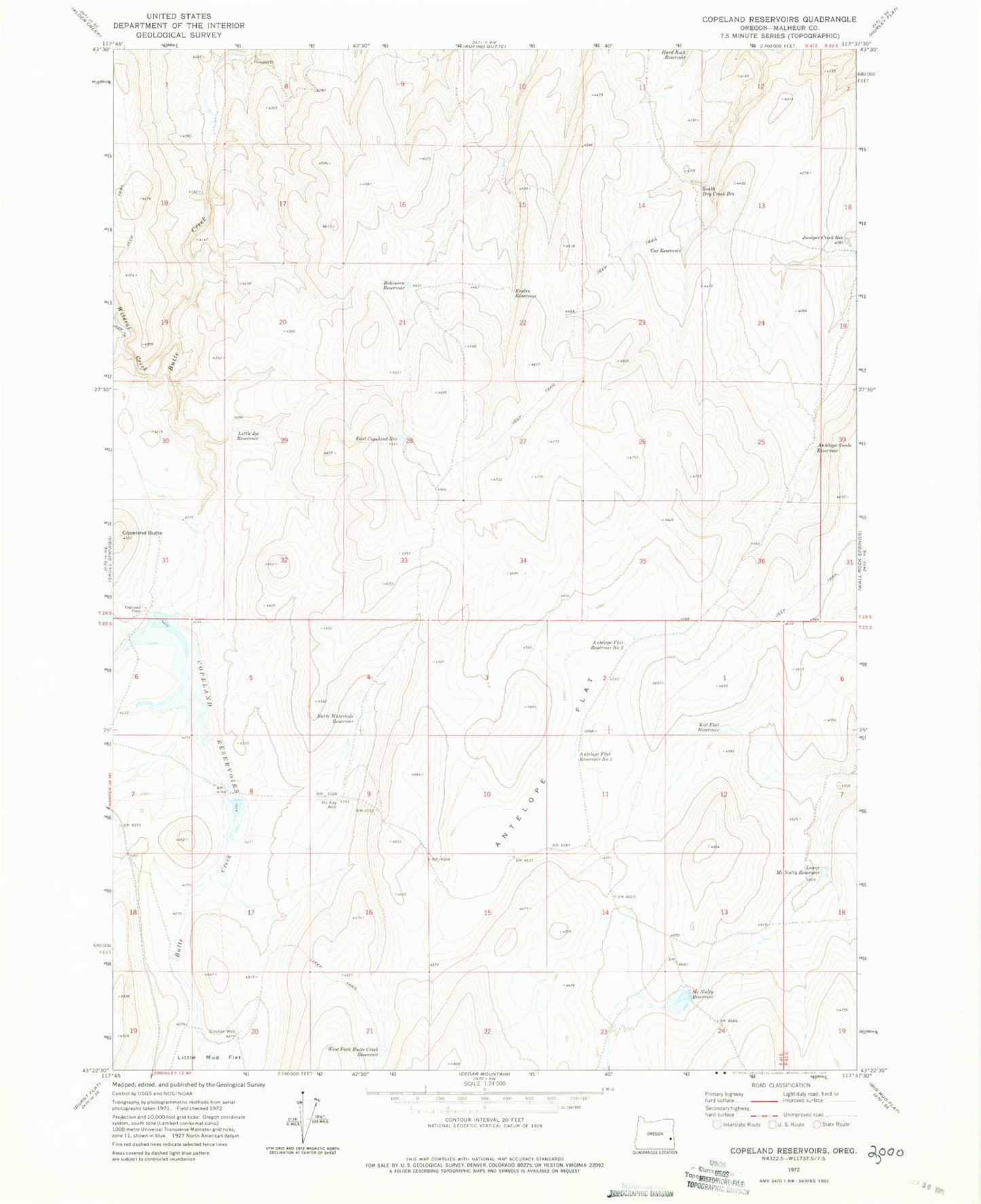
Classic USGS Copeland Reservoirs Oregon 7.5'x7.5' Topo Map
Couldn't load pickup availability
Historical USGS topographic quad map of Copeland Reservoirs in the state of Oregon. Map scale may vary for some years, but is generally around 1:24,000. Print size is approximately 24" x 27"
This quadrangle is in the following counties: Malheur.
The map contains contour lines, roads, rivers, towns, and lakes. Printed on high-quality waterproof paper with UV fade-resistant inks, and shipped rolled.
Contains the following named places: Antelope Flat, Antelope Flat Reservoir Number One, Antelope Flat Reservoir Number Two, Antelope Swale Reservoir, Butte Dam, Butte Reservoir, Butte Waterhole Reservoir, Car Reservoir, Cold Spring Creek, Copeland Butte, Copeland Place, Copeland Reservoirs, East Copeland Reservoir, Esplin Reservoir, Juniper Creek Reservoir, Kid Flat Reservoir, Little Joe Reservoir, Lower McNulty Reservoir, McKay Well, McNulty Reservoir, Robinson Reservoir, Slayton Well, South Dry Creek Reservoir, West Fork Butte Creek Reservoir, West Fork Juniper Creek Reservoir, Wildcat Creek