MyTopo
Classic USGS Copeland Alabama 7.5'x7.5' Topo Map
Couldn't load pickup availability
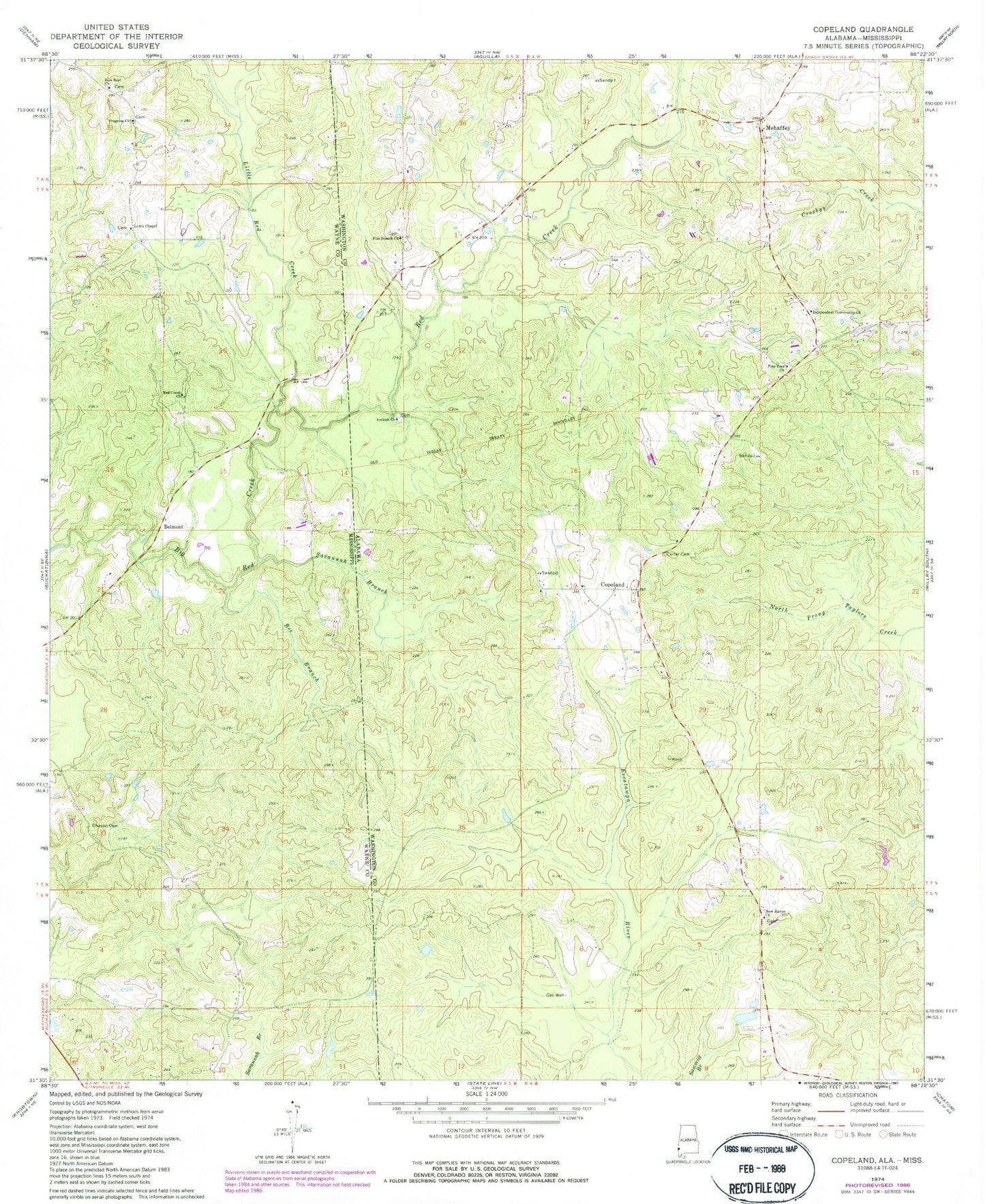
Historical USGS topographic quad map of Copeland in the states of Alabama, Mississippi. Map scale may vary for some years, but is generally around 1:24,000. Print size is approximately 24" x 27"
This quadrangle is in the following counties: Washington, Wayne.
The map contains contour lines, roads, rivers, towns, and lakes. Printed on high-quality waterproof paper with UV fade-resistant inks, and shipped rolled.
Contains the following named places: Antioch Baptist Church, Antioch Cemetery, Bee Branch, Belmont, Carter Cemetery, Chase School, Chason Cemetery, Copeland, Copeland Assembly of God Church, Copeland Cemetery, Copeland Church of God, Copeland Gas Field, Copeland Methodist Church, Copeland Volunteer Fire Department, Flat Branch Assembly of God Church, Flat Branch Cemetery, Independent Community Church, Lewis Chapel, Lewis Chapel Cemetery, Little Red Creek, Mehaffey, Minerva Cemetery, Minerva Memorial Methodist Church, New Haven Baptist Church, New Haven Cemetery, Omega, Pine Tree Cemetery, Pine Tree Church, Progress Church, Red Creek, Red Creek Church, Red Creek Gas Field, Savannah Branch, Tabernacle Holiness Church, Wayne County Volunteer Fire Department Progress Station, Zion Rest Cemetery, Zion Rest Church