MyTopo
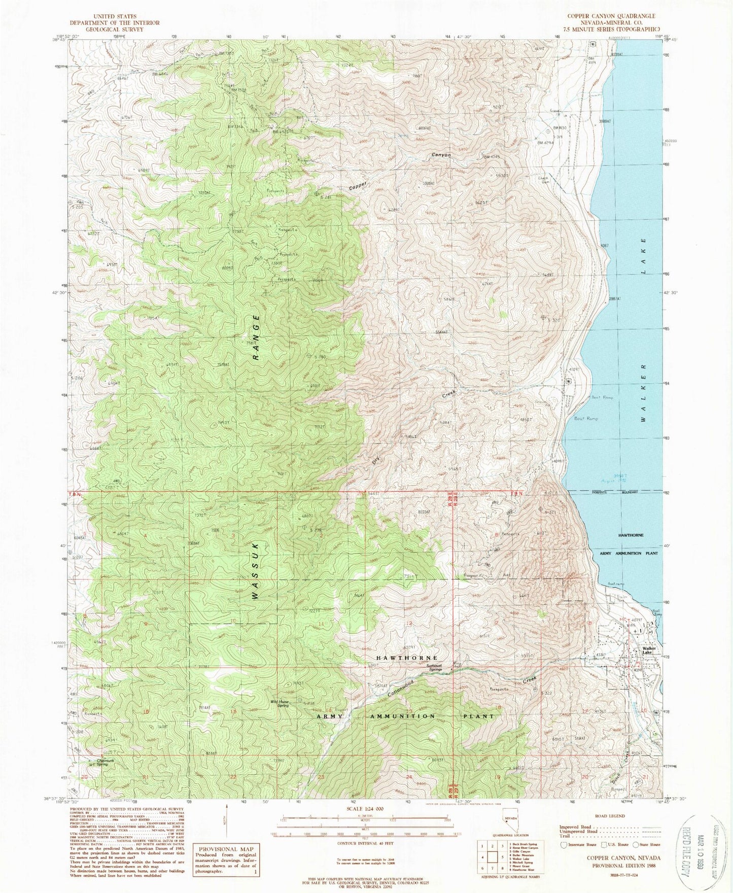
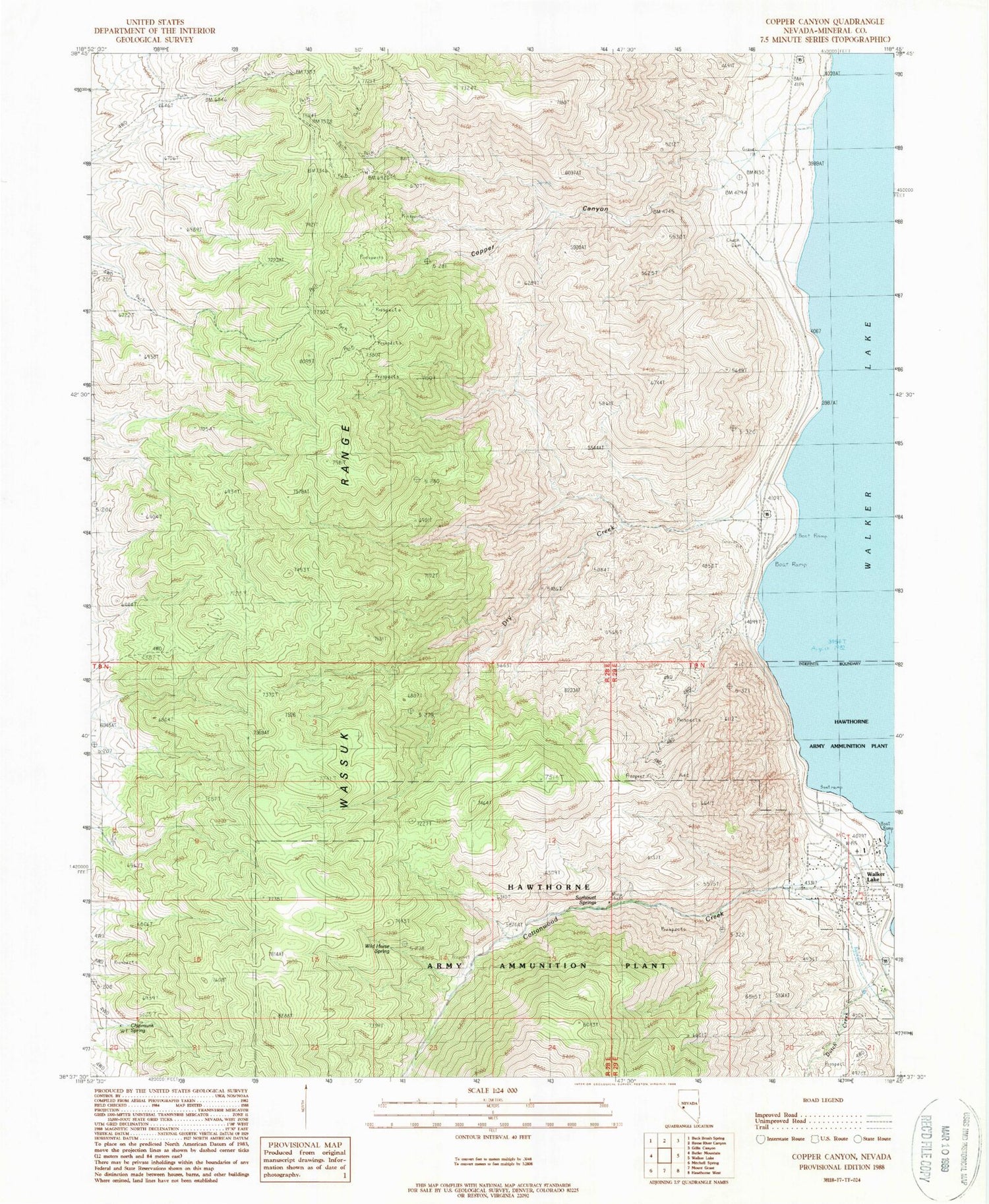
Classic USGS Copper Canyon Nevada 7.5'x7.5' Topo Map
Couldn't load pickup availability
Historical USGS topographic quad map of Copper Canyon in the state of Nevada. Map scale may vary for some years, but is generally around 1:24,000. Print size is approximately 24" x 27"
This quadrangle is in the following counties: Mineral.
The map contains contour lines, roads, rivers, towns, and lakes. Printed on high-quality waterproof paper with UV fade-resistant inks, and shipped rolled.
Contains the following named places: Chipmunk Spring, Copper Canyon, Cottonwood Creek, Cottonwood Creek Canyon, Dry Creek, Dutch Creek, Dutch Creek Post Office, Mount Grant Lodge, Red Fox Gulch, Sorhouet Springs, Sportsmans Beach, Tamarack Point, Walker, Walker Lake, Walker Lake Boat Harbor, Walker Lake Census Designated Place, Walker Lake Recreation Area, Walker Lake State Park, Walker Lake Volunteer Fire Department, Wassuk Range, Wild Horse Spring


