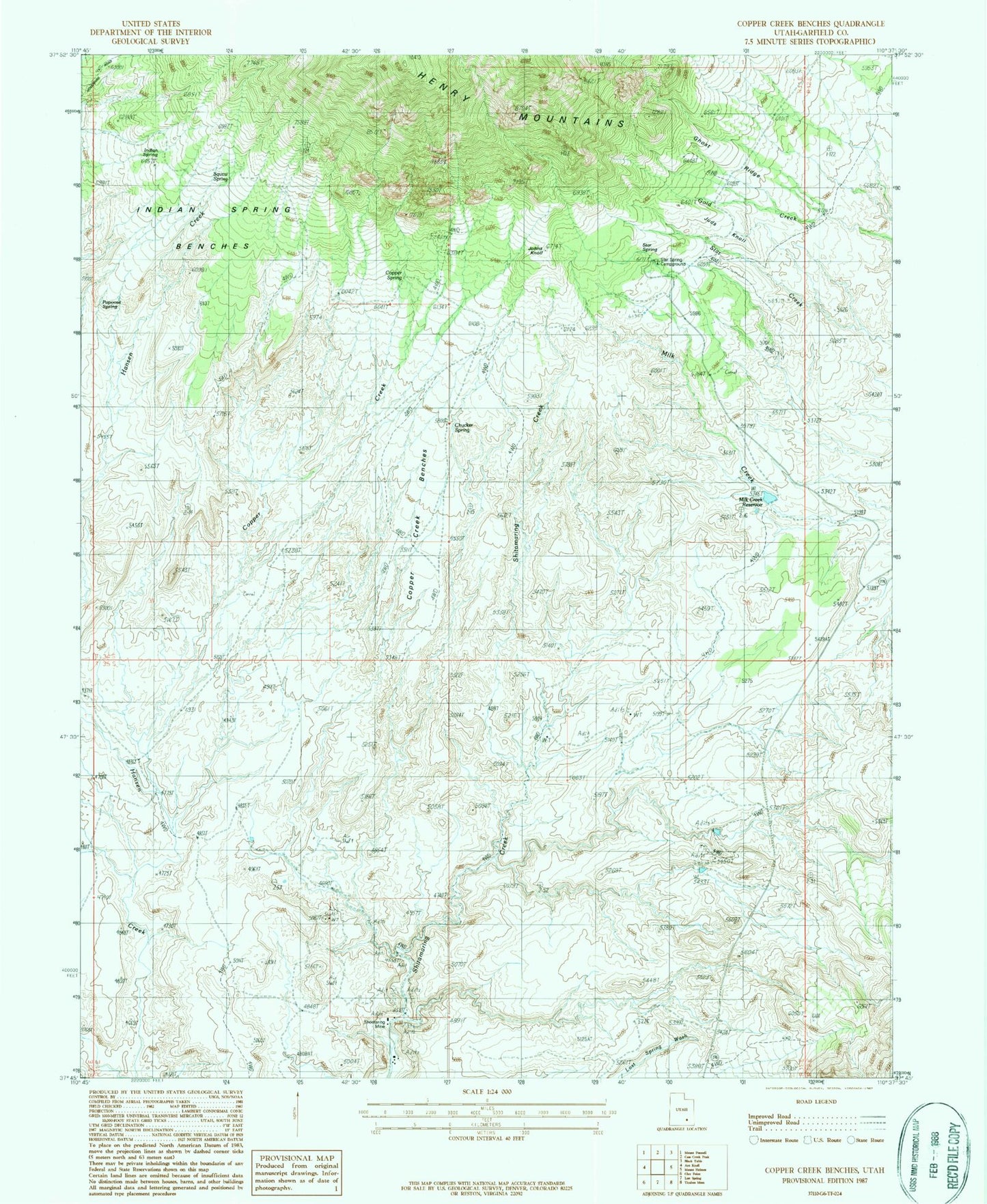
MyTopo
Classic USGS Copper Creek Benches Utah 7.5'x7.5' Topo Map
Regular price
$16.95
Regular price
Sale price
$16.95
Unit price
per
Couldn't load pickup availability
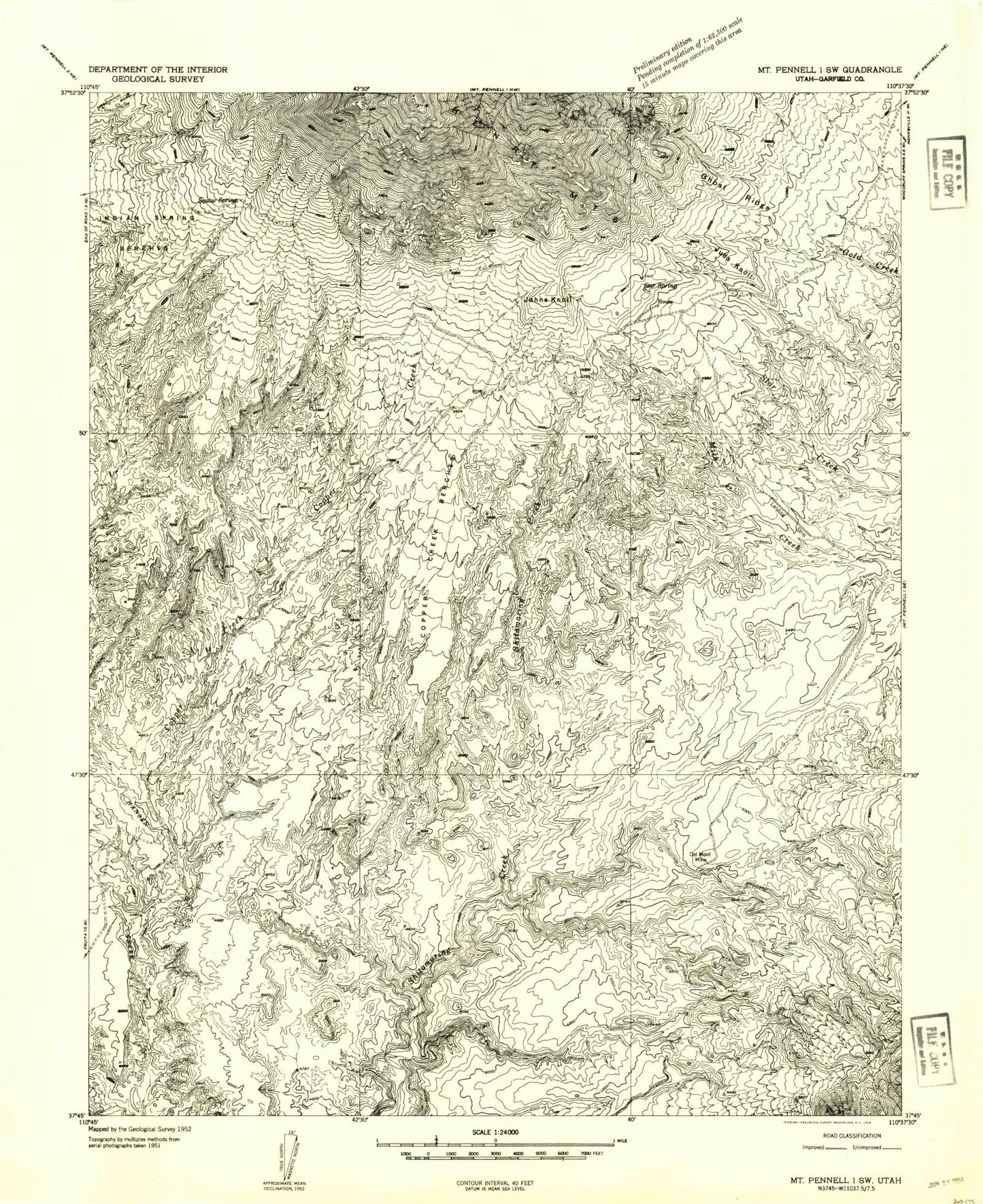
Historical USGS topographic quad map of Copper Creek Benches in the state of Utah. Map scale may vary for some years, but is generally around 1:24,000. Print size is approximately 24" x 27"
This quadrangle is in the following counties: Garfield.
The map contains contour lines, roads, rivers, towns, and lakes. Printed on high-quality waterproof paper with UV fade-resistant inks, and shipped rolled.
Contains the following named places: Chucker Spring, Copper Creek, Copper Creek Benches, Copper Spring, Del Mont Mine, Ghost Ridge, Indian Spring, Indian Spring Benches, Johns Knoll, Juds Knoll, Milk Creek Reservoir, Papoose Spring, Shootaring Mine, Squaw Spring, Star Spring, Star Springs Campground