MyTopo
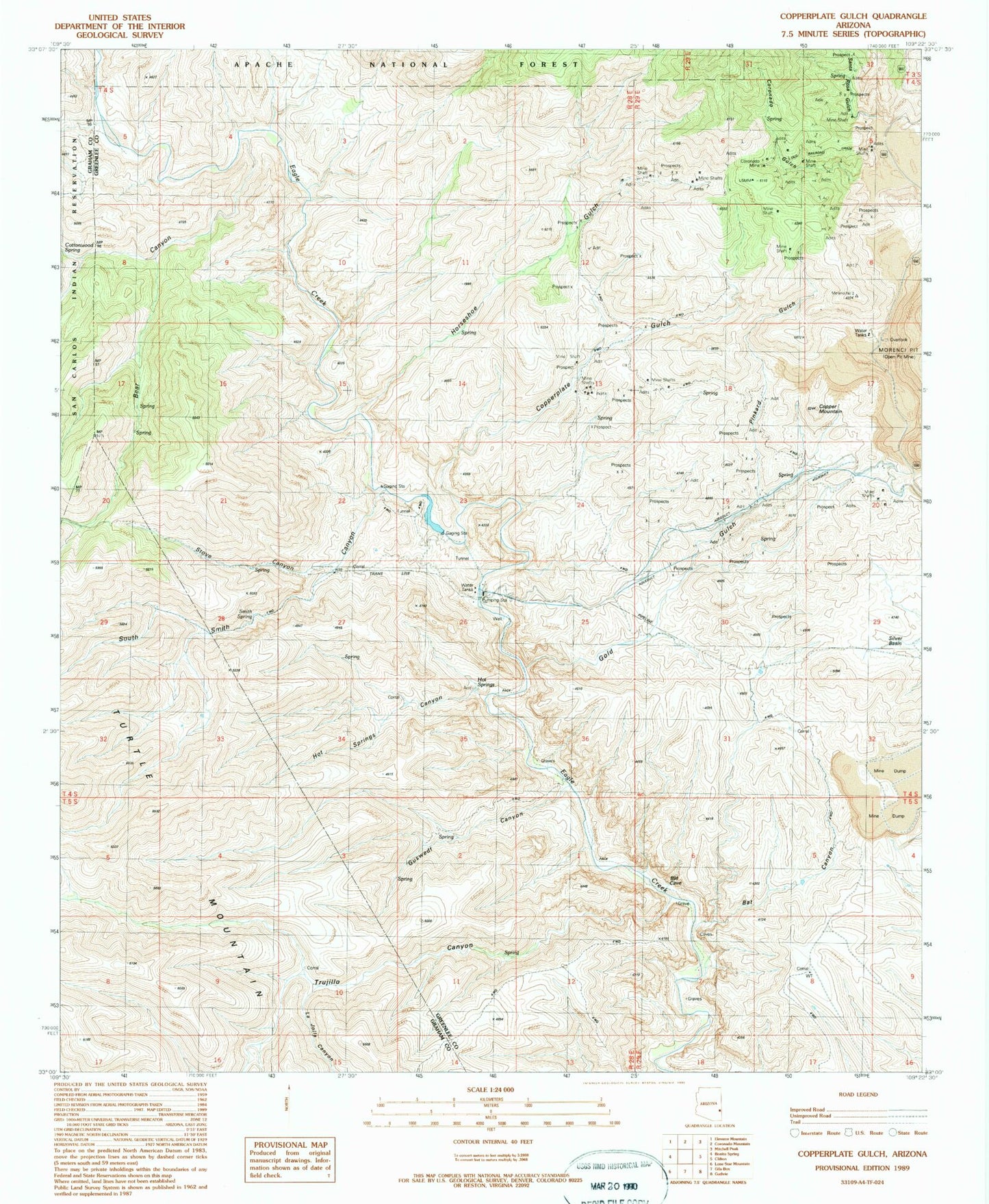
Classic USGS Copperplate Gulch Arizona 7.5'x7.5' Topo Map
Couldn't load pickup availability
Historical USGS topographic quad map of Copperplate Gulch in the state of Arizona. Map scale may vary for some years, but is generally around 1:24,000. Print size is approximately 24" x 27"
This quadrangle is in the following counties: Graham, Greenlee.
The map contains contour lines, roads, rivers, towns, and lakes. Printed on high-quality waterproof paper with UV fade-resistant inks, and shipped rolled.
Contains the following named places: Bat Canyon, Bear Canyon, Copper Mountain, Copperplate Gulch, Coronado, Coronado Gulch, Coronado Incline, Coronado Mine, Eagle Creek Pumping Station, Garcia Spring, Gold Gulch, Guswert Canyon, Horseshoe Canyon, Horseshoe Gulch, Hot Springs, Hot Springs Canyon, La Jolla Canyon, Pinkard Gulch, Pinkhead Gulch, Poor Farm Spring, Santa Rosa Gulch, Seneca Corral, Silver Basin, Smith Spring, South Smith Canyon, Stove Canyon, Trujillo Canyon, ZIP Code: 85540