MyTopo
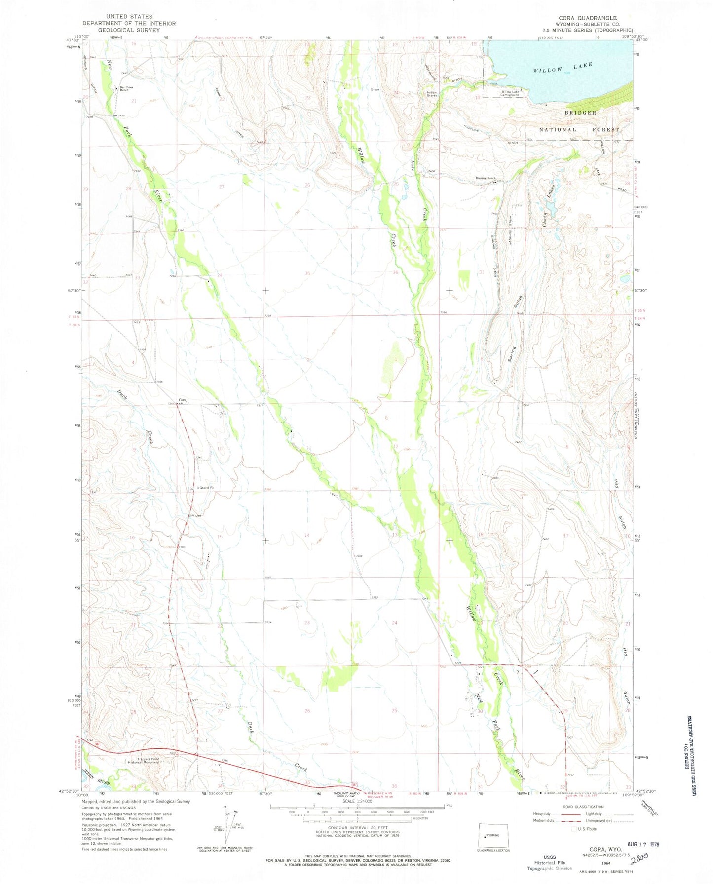
Classic USGS Cora Wyoming 7.5'x7.5' Topo Map
Couldn't load pickup availability
Historical USGS topographic quad map of Cora in the state of Wyoming. Map scale may vary for some years, but is generally around 1:24,000. Print size is approximately 24" x 27"
This quadrangle is in the following counties: Sublette.
The map contains contour lines, roads, rivers, towns, and lakes. Printed on high-quality waterproof paper with UV fade-resistant inks, and shipped rolled.
Contains the following named places: Bar Cross Ranch, Binning Ditch, Binning Ranch, Chain Lakes, Cora, Cora Census Designated Place, Cora Pit, Cora Post Office, F Bar Cross Seventy-six Mine, Faler Creek, Freds Hill Pit, Graveyard Pit, Hay Gulch, Highline Ditch, Indian Graves, Jenkins Ditch, Lake Creek, Noble Pit, Rahm Ditch, Spring Gulch, Trappers Point Historical Monument, Westfall - Cora Cemetery, Willow Creek, Willow Lake Campground, Willow Lake Dam, Wimple Pit