MyTopo
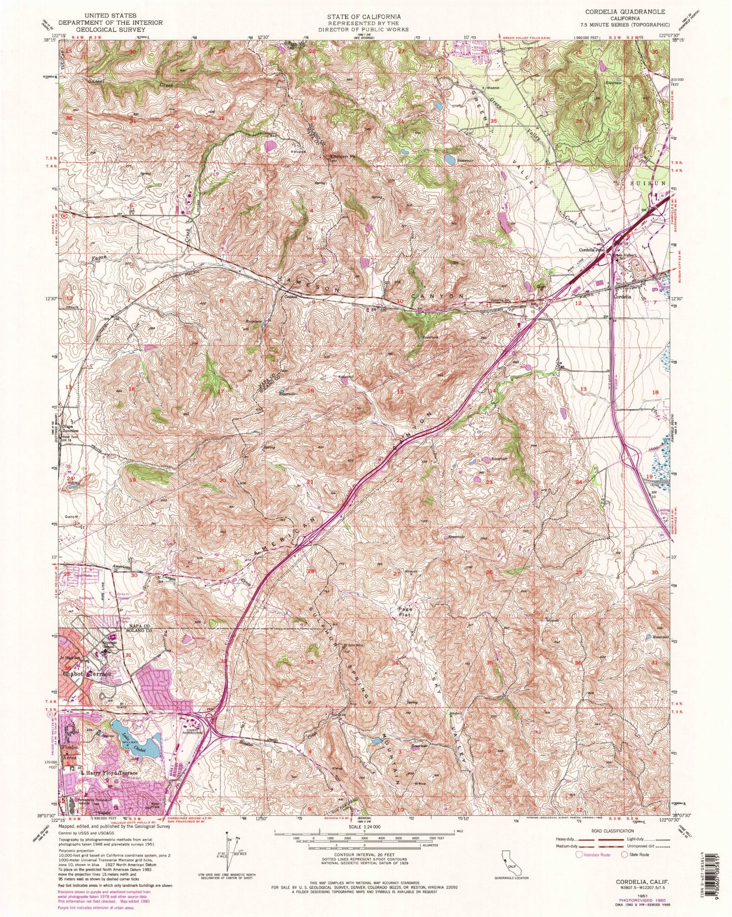
Classic USGS Cordelia California 7.5'x7.5' Topo Map
Couldn't load pickup availability
Historical USGS topographic quad map of Cordelia in the state of California. Map scale may vary for some years, but is generally around 1:24,000. Print size is approximately 24" x 27"
This quadrangle is in the following counties: Napa, Solano.
The map contains contour lines, roads, rivers, towns, and lakes. Printed on high-quality waterproof paper with UV fade-resistant inks, and shipped rolled.
Contains the following named places: Africa USA Park, American Canyon, American Canyon Fire Protection District, American Canyon Police Department, Blue Rock Springs Creek, Borges Ranch Park, Chabot Terrace, Chardonnay Country Club, Cordelia, Cordelia Fire Protection District, Cordelia Junction, Crest Ranch Park, Creston, Dan Foley Park, Elkhorn Peak, Elsa Widenmann Elementary School, Everest School, Fairfield Fire Department Station 35, Fleming Hill Number 2 14-004 Dam, Golden Gate Club, Green Valley, Green Valley Creek, Green Valley Middle School, Harris 446 Dam, Harry Floyd Terrace, Jameson Canyon, Joe Mortara Municipal Golf Course, John Finney High School, Johnston Cooper Elementary School, Kaiser Foundation Rehabilitation Center, Kaiser Permanente Vallejo Medical Center, Lake Chabot, Lake Chabot 14-006 Dam, Marine World, North Vallejo Park, Olympic School, Page Flat, Richardson Park, Rindler Creek, Saint John Mine, Setterquist Park, Solano County Fairgrounds, Solano Middle School, Sulphur Springs Mountain, Summit Reservoir, Summit Reservoir 14-007 Dam, Sutter Solano Medical Center, Terminal Dam, Terminal Reservoir, Vallejo Fire Department Station 5, Vallejo Fire Department Station 7, Vallejo Police Department Substation, ZIP Codes: 94534, 94589


